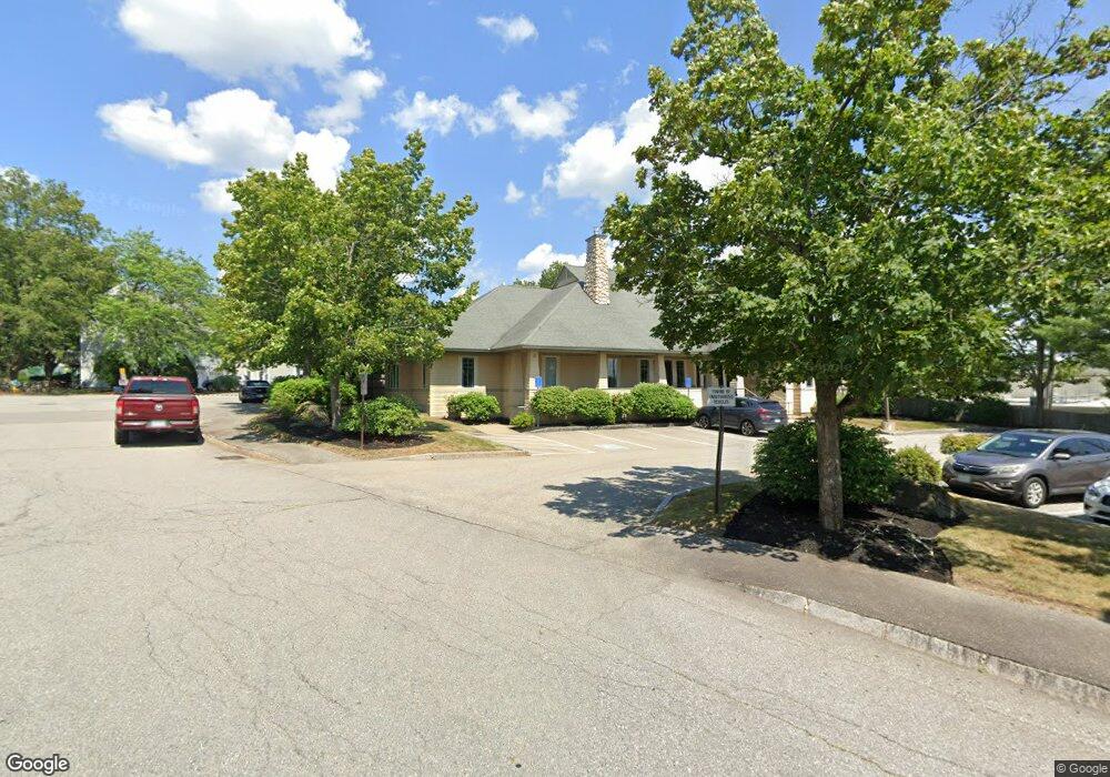
0 Profile Cir Nashua, NH 03063
Northwest Nashua NeighborhoodEstimated Value: $2,240,626
2
Beds
2
Baths
4,466
Sq Ft
$502/Sq Ft
Est. Value
About This Home
This home is located at 0 Profile Cir, Nashua, NH 03063 and is currently estimated at $2,240,626, approximately $501 per square foot. 0 Profile Cir is a home located in Hillsborough County with nearby schools including Charlotte Ave Elementary School, Pennichuck Middle School, and Nashua High School North.
Ownership History
Date
Name
Owned For
Owner Type
Purchase Details
Closed on
Mar 3, 2016
Sold by
Micaud Michelle A
Bought by
Michaud Michelle A and Michaud Martin A
Current Estimated Value
Purchase Details
Closed on
Apr 20, 2012
Sold by
Gz Realty Llc
Bought by
Zero Profile Circle Rl
Purchase Details
Closed on
Apr 15, 2002
Sold by
Roan Enterprises Llc
Bought by
Gz Realty Llc
Create a Home Valuation Report for This Property
The Home Valuation Report is an in-depth analysis detailing your home's value as well as a comparison with similar homes in the area
Home Values in the Area
Average Home Value in this Area
Purchase History
| Date | Buyer | Sale Price | Title Company |
|---|---|---|---|
| Michaud Michelle A | -- | -- | |
| Zero Profile Circle Rl | $950,000 | -- | |
| Zero Profile Circle Rl | $950,000 | -- | |
| Gz Realty Llc | $125,000 | -- | |
| Gz Realty Llc | $125,000 | -- |
Source: Public Records
Mortgage History
| Date | Status | Borrower | Loan Amount |
|---|---|---|---|
| Previous Owner | Gz Realty Llc | $436,250 |
Source: Public Records
Tax History Compared to Growth
Tax History
| Year | Tax Paid | Tax Assessment Tax Assessment Total Assessment is a certain percentage of the fair market value that is determined by local assessors to be the total taxable value of land and additions on the property. | Land | Improvement |
|---|---|---|---|---|
| 2024 | $13,156 | $827,400 | $277,300 | $550,100 |
| 2023 | $13,804 | $757,200 | $241,300 | $515,900 |
| 2022 | $13,683 | $757,200 | $241,300 | $515,900 |
| 2021 | $18,093 | $779,200 | $229,700 | $549,500 |
| 2020 | $17,568 | $777,000 | $229,700 | $547,300 |
| 2019 | $16,908 | $777,000 | $229,700 | $547,300 |
| 2018 | $16,480 | $777,000 | $229,700 | $547,300 |
| 2017 | $19,987 | $775,000 | $178,200 | $596,800 |
| 2016 | $19,429 | $775,000 | $178,200 | $596,800 |
| 2015 | $19,011 | $775,000 | $178,200 | $596,800 |
| 2014 | $18,639 | $775,000 | $178,200 | $596,800 |
Source: Public Records
Map
Nearby Homes
- 74 Profile Cir
- 58 Profile Cir
- 123 Cannongate III
- 7 Robert Dr
- 33 Ferry Rd
- 19 Dunloggin Rd
- 3 Wright Rd
- 22 Berkshire Rd
- 3 Paddington Place
- 17 Danbury Rd
- 31 Ashland St
- 5 Chatfield Dr Unit U18
- 38 Highbridge Hill Rd Unit 186
- 11 Amherst Terrace
- 4 Jared Cir Unit U21
- 239 Broad St
- 26 Andover Down Unit 276
- 31 Juliana Ave
- 31 Juliana Ave Unit 4
- 3 Opal Way Unit 3
- 0 Profile Cir Unit 4693526
- 1 Profile Cir
- 2 Profile Cir
- 2 Profile Cir Unit 2
- 3 Profile Cir
- 4 Profile Cir
- 5 Profile Cir
- 25 Profile Cir
- 26 Profile Cir
- 6 Profile Cir
- 27 Profile Cir
- 28 Profile Cir
- 7 Profile Cir
- 29 Profile Cir
- 8 Profile Cir
- 30 Profile Cir
- 73 Profile Cir
- 72 Profile Cir
- 72 Profile Cir Unit 72
- 31 Profile Cir