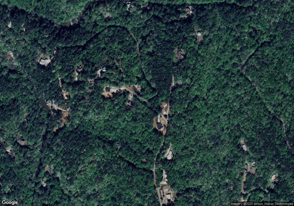
0 River Rk Rd Unit 7485268 Dahlonega, GA 30533
Estimated Value: $779,000 - $1,379,000
--
Bed
1
Bath
3,492
Sq Ft
$304/Sq Ft
Est. Value
About This Home
This home is located at 0 River Rk Rd Unit 7485268, Dahlonega, GA 30533 and is currently estimated at $1,062,209, approximately $304 per square foot. 0 River Rk Rd Unit 7485268 is a home located in Lumpkin County with nearby schools including Clay County Middle School and Lumpkin County High School.
Ownership History
Date
Name
Owned For
Owner Type
Purchase Details
Closed on
Jan 23, 2025
Sold by
Livingston E Claire
Bought by
E Claire Livingston Trust and Livingston E Claire Trust
Current Estimated Value
Purchase Details
Closed on
Sep 24, 2004
Sold by
Edgar Patricia B
Bought by
Jasnicki Richard and Jasnicki Mitzi L
Purchase Details
Closed on
May 28, 1997
Sold by
High Shoals Dev Corp
Bought by
Edgar Patricia B
Purchase Details
Closed on
Sep 19, 1995
Bought by
High Shoals Dev Corp
Create a Home Valuation Report for This Property
The Home Valuation Report is an in-depth analysis detailing your home's value as well as a comparison with similar homes in the area
Home Values in the Area
Average Home Value in this Area
Purchase History
| Date | Buyer | Sale Price | Title Company |
|---|---|---|---|
| E Claire Livingston Trust | -- | -- | |
| Jasnicki Richard | $166,000 | -- | |
| Edgar Patricia B | $86,000 | -- | |
| High Shoals Dev Corp | -- | -- |
Source: Public Records
Tax History Compared to Growth
Tax History
| Year | Tax Paid | Tax Assessment Tax Assessment Total Assessment is a certain percentage of the fair market value that is determined by local assessors to be the total taxable value of land and additions on the property. | Land | Improvement |
|---|---|---|---|---|
| 2024 | $5,349 | $353,790 | $77,680 | $276,110 |
| 2023 | $5,052 | $337,887 | $77,680 | $260,207 |
| 2022 | $7,655 | $311,196 | $77,680 | $233,516 |
| 2021 | $6,898 | $271,476 | $77,680 | $193,796 |
| 2020 | $6,993 | $267,104 | $77,680 | $189,424 |
| 2019 | $7,058 | $267,104 | $77,680 | $189,424 |
| 2018 | $1,759 | $77,680 | $77,680 | $0 |
| 2017 | $1,851 | $64,000 | $64,000 | $0 |
| 2016 | $1,914 | $64,000 | $64,000 | $0 |
| 2015 | $1,741 | $64,000 | $64,000 | $0 |
| 2014 | $1,741 | $77,680 | $77,680 | $0 |
| 2013 | -- | $77,680 | $77,680 | $0 |
Source: Public Records
Map
Nearby Homes
- 64 Highview Ln
- 1063 Grindle Bridge Rd
- 45 Chestatee River Ridge
- 16 Welch Cir
- 651 Hester Rd
- 349 Hester Rd
- 313 Hester Rd
- 0 Waterfall Dr Unit 9 10472076
- 31 Valhalla Dr
- 0 Valhalla Dr Unit 10640791
- 55 Santa Pera Dr
- 380 Copper Mill Rd
- 3395 Asbury Mill Rd
- 242 Hooper Rd
- 0 Horseshoe Bend Rd Unit 10571975
- 0 Horseshoe Bend Rd Unit 7620338
- 86.99 Acres Mincie Mountain
- 174 Leighs Crossing
- 2927 Asbury Mill Rd
- 925 Horseshoe Bend Rd
- 224 River Rock Dr
- 250 River Rock Dr
- 200 River Rock Dr
- 13 River Rock Dr
- 227 River Rock Dr
- 167 River Rock Dr
- 909 High Shoals Dr
- 262 River Rock Dr
- 168 River Rock Dr
- 125 Chestatee Shoals Dr
- 229 Chestatee Shoals Dr
- 945 High Shoals Dr
- 5649 Cavender Creek Rd
- 246 Chestatee Shoals Dr
- 97 E Grindle Brothers Rd
- 5693 Cavender Creek Rd
- 98 River Rock Dr
- 995 High Shoals Dr
- 5661 Cavender Creek Rd
- 5751 Cavender Creek Rd
