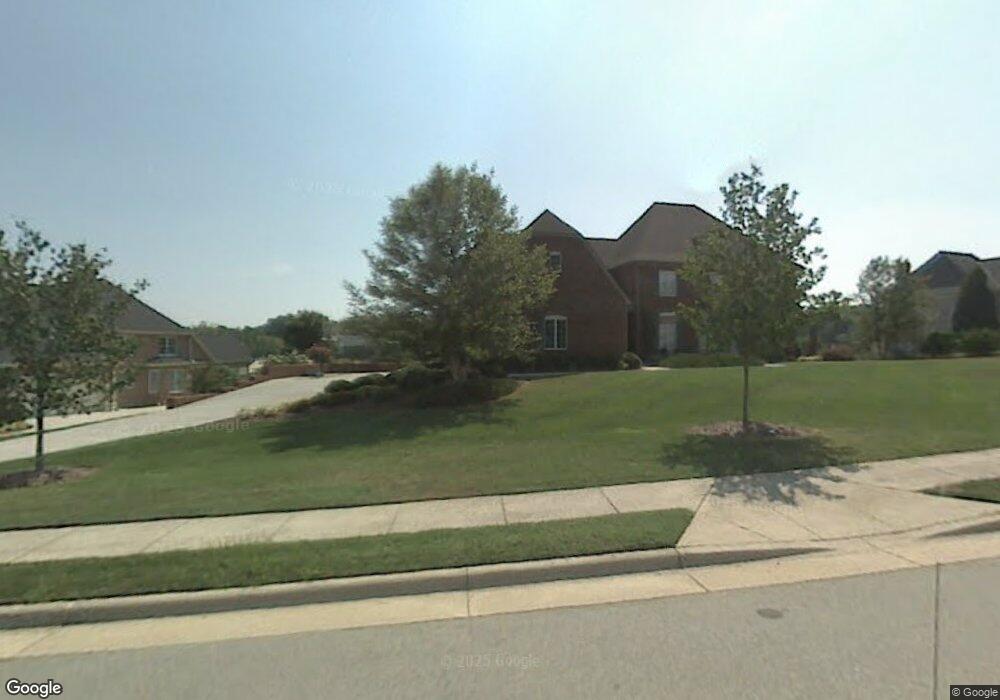
0 Rock Bridge Rd Unit 1031486 High Point, NC 27262
Estimated Value: $235,000 - $339,000
--
Bed
--
Bath
--
Sq Ft
4.24
Acres
About This Home
This home is located at 0 Rock Bridge Rd Unit 1031486, High Point, NC 27262 and is currently estimated at $287,000. 0 Rock Bridge Rd Unit 1031486 is a home located in Davidson County with nearby schools including Friendship Elementary School, Ledford Middle School, and Ledford High School.
Ownership History
Date
Name
Owned For
Owner Type
Purchase Details
Closed on
Dec 22, 2016
Sold by
Rock Bridge Properties Llc
Bought by
Hayes William
Current Estimated Value
Purchase Details
Closed on
Jul 17, 2013
Sold by
Mahler Peter A and Mahler Mary I
Bought by
Rock Bridge Properties Llc
Purchase Details
Closed on
Jul 12, 2013
Sold by
Fisher D Wayne and Fisher Janet Mahler
Bought by
Mahler Peter A and Mahler Mary I
Purchase Details
Closed on
Dec 22, 2010
Sold by
Parker W Alan and Parker Mary M
Bought by
Fisher D Wayne
Home Financials for this Owner
Home Financials are based on the most recent Mortgage that was taken out on this home.
Original Mortgage
$100,000
Interest Rate
4.18%
Mortgage Type
Purchase Money Mortgage
Purchase Details
Closed on
Feb 1, 1996
Create a Home Valuation Report for This Property
The Home Valuation Report is an in-depth analysis detailing your home's value as well as a comparison with similar homes in the area
Home Values in the Area
Average Home Value in this Area
Purchase History
| Date | Buyer | Sale Price | Title Company |
|---|---|---|---|
| Hayes William | $75,000 | None Available | |
| Rock Bridge Properties Llc | -- | None Available | |
| Mahler Peter A | $100,000 | None Available | |
| Fisher D Wayne | $100,000 | None Available | |
| -- | $137,000 | -- |
Source: Public Records
Mortgage History
| Date | Status | Borrower | Loan Amount |
|---|---|---|---|
| Previous Owner | Fisher D Wayne | $100,000 |
Source: Public Records
Tax History Compared to Growth
Tax History
| Year | Tax Paid | Tax Assessment Tax Assessment Total Assessment is a certain percentage of the fair market value that is determined by local assessors to be the total taxable value of land and additions on the property. | Land | Improvement |
|---|---|---|---|---|
| 2025 | $2,538 | $217,000 | $0 | $0 |
| 2024 | $2,538 | $217,000 | $0 | $0 |
| 2023 | $2,474 | $217,000 | $0 | $0 |
| 2022 | $2,474 | $217,000 | $0 | $0 |
| 2021 | $2,538 | $217,000 | $0 | $0 |
| 2020 | $2,538 | $217,000 | $0 | $0 |
| 2019 | $2,577 | $217,000 | $0 | $0 |
| 2018 | $2,577 | $217,000 | $0 | $0 |
| 2017 | $2,577 | $217,000 | $0 | $0 |
| 2016 | $2,577 | $217,000 | $0 | $0 |
| 2015 | $2,582 | $217,000 | $0 | $0 |
| 2014 | -- | $200,000 | $0 | $0 |
Source: Public Records
Map
Nearby Homes
- 2908 Maggie Ct
- 2801 Swan Lake Dr
- 2731 Croquet Cir
- 2729 Croquet Cir
- 2809 Churchill Ct
- 2925 Fernley Ct
- 1706 Windsor Dr
- 246 Merry Hills Dr
- 00 Chestnut Street Extension
- 0 Chestnut Street Extension
- 304 Cascade Dr
- 308 Canterbury Rd
- 4099 Stallion St
- Bailey Plan at Canter Creek
- Seagrove Plan at Canter Creek
- Richmond Plan at Canter Creek
- 4106 Stallion St
- 4095 Stallion St
- 4090 Stallion St
- 4098 Stallion St Unit Lot 76
- 0 Rock Bridge Rd Unit 1057996
- 4249 Rock Bridge Rd
- 4244 Rock Bridge Rd
- 4240 Rock Bridge Rd
- 4237 Rock Bridge Rd
- 4238 Rock Bridge Rd
- 4229 Rock Bridge Rd
- 4232 Rock Bridge Rd
- 4236 Rock Bridge Rd
- 2904 Maggie Ct
- LOT 76 Sink Lake Rd
- 4214 Rock Bridge Rd
- 2900 Maggie Ct
- 417 Cecil Farm Rd
- 4228 Rock Bridge Rd
- 675 Sink Lake Rd
- 2910 Maggie Ct
- 4224 Rock Bridge Rd
- 2831 Brennen Ln
- 2830 Brennen Ln