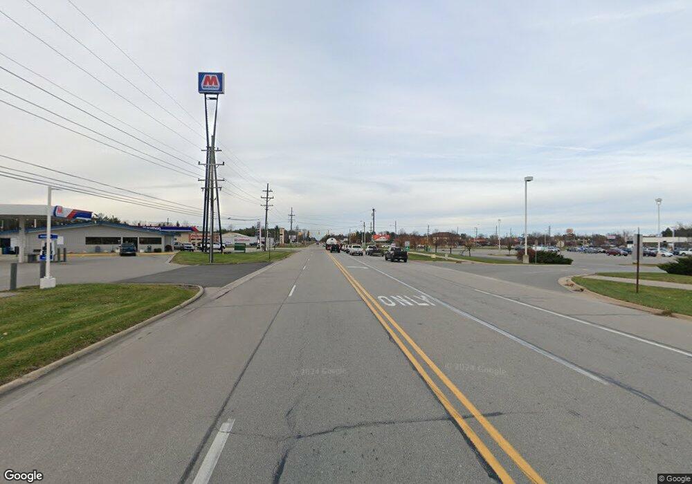
0 S Range Road Parcel H Unit 4217794 Saint Clair, MI 48079
--
Bed
--
Bath
--
Sq Ft
10.11
Acres
About This Home
This home is located at 0 S Range Road Parcel H Unit 4217794, Saint Clair, MI 48079. 0 S Range Road Parcel H Unit 4217794 is a home located in St. Clair County with nearby schools including Gearing Elementary School, St. Clair Middle School, and St. Clair High School.
Create a Home Valuation Report for This Property
The Home Valuation Report is an in-depth analysis detailing your home's value as well as a comparison with similar homes in the area
Home Values in the Area
Average Home Value in this Area
Tax History Compared to Growth
Map
Nearby Homes
- 676 Snowbird Cir W
- 582 Snowbird Circle E Cir
- 1070 Highland Dr
- 592 Snowbird Cir E
- 738 N 9th St
- 740 Highland Dr
- 710 Turnberry Dr
- 509 Benedict St
- 606 N 6th St
- 1 S Carney Dr
- 2 Riley
- 211 N Carney Dr
- 1936 Shelldrake Ln Unit Lot 29
- 3 S Carney Dr
- 2 S Carney Dr Unit Lot TBD
- 1924 Shelldrake Ln Unit 32
- 112 S 10th St
- 252 Shelldrake Ln
- 1 Shelldrake Ln
- 2 Shelldrake Ln
- 0 S Range Road Parcel H Unit 926123
- 876 N Carney Dr
- 874 N Carney Dr
- 872 N Carney Dr
- 2462 S Range Rd
- 862 N Carney Dr Unit 3
- 1015 Brown St
- 796 Snowbird Cir E
- 792 Snowbird Cir E
- 793 Snowbird Cir E
- 794 Snowbird Cir E
- 798 Snowbird Cir E
- 793 Snowbird Cir E Unit 58
- 2458 S Range Rd
- 1011 Brown St
- 860 N Carney Dr
- 772 Snowbird Cir E
- 795 Snowbird Cir W
- 787 Snowbird Cir W
- 777 Snowbird Cir W
