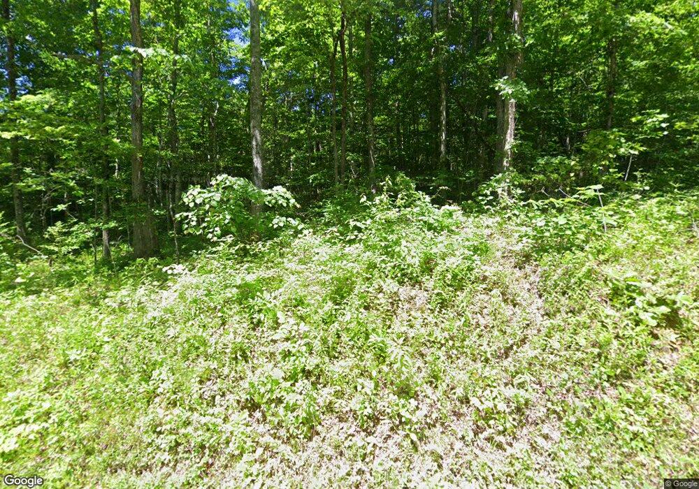
0 Sand Gap Rd Unit RTC2312257 La Follette, TN 37766
Estimated Value: $157,000
--
Bed
--
Bath
--
Sq Ft
8,128
Acres
About This Home
This home is located at 0 Sand Gap Rd Unit RTC2312257, La Follette, TN 37766 and is currently priced at $157,000. 0 Sand Gap Rd Unit RTC2312257 is a home located in Campbell County.
Ownership History
Date
Name
Owned For
Owner Type
Purchase Details
Closed on
Oct 22, 2021
Sold by
Ketchen Land Company Inc
Bought by
Zareva Richard
Current Estimated Value
Purchase Details
Closed on
Sep 24, 2009
Sold by
Ketchen Land Co Inc
Bought by
Nance Ronnie
Purchase Details
Closed on
Feb 8, 2008
Sold by
Ketchen Land Co Inc
Bought by
Nance Ronnie
Purchase Details
Closed on
Nov 4, 1996
Bought by
Perkins Hugh F and Perkins Buffy Sue
Purchase Details
Closed on
Oct 11, 1993
Bought by
Ketchen Land Co Inc
Purchase Details
Closed on
Feb 22, 1993
Bought by
Ketchen Land Co Inc
Purchase Details
Closed on
Feb 27, 1992
Bought by
Gilreath Joe Carl
Purchase Details
Closed on
Aug 7, 1984
Bought by
Gilreath James M
Purchase Details
Closed on
Feb 25, 1975
Create a Home Valuation Report for This Property
The Home Valuation Report is an in-depth analysis detailing your home's value as well as a comparison with similar homes in the area
Home Values in the Area
Average Home Value in this Area
Purchase History
| Date | Buyer | Sale Price | Title Company |
|---|---|---|---|
| Zareva Richard | $1,500 | None Available | |
| Perkins Brenft Keith | $6,500 | None Available | |
| Green Donald | $7,680 | None Available | |
| Nance Ronnie | -- | -- | |
| Nance Ronnie | -- | -- | |
| Perkins Hugh F | $15,000 | -- | |
| Ketchen Land Co Inc | -- | -- | |
| Ketchen Land Co Inc | -- | -- | |
| Gilreath Joe Carl | -- | -- | |
| Gilreath James M | -- | -- | |
| -- | -- | -- |
Source: Public Records
Tax History Compared to Growth
Tax History
| Year | Tax Paid | Tax Assessment Tax Assessment Total Assessment is a certain percentage of the fair market value that is determined by local assessors to be the total taxable value of land and additions on the property. | Land | Improvement |
|---|---|---|---|---|
| 2025 | $20,665 | $1,700,000 | $0 | $0 |
| 2024 | $20,665 | $1,700,000 | $1,700,000 | $0 |
| 2023 | $9,752 | $472,025 | $472,025 | $0 |
| 2022 | $9,752 | $472,025 | $472,025 | $0 |
| 2021 | $9,752 | $472,025 | $472,025 | $0 |
| 2020 | $9,557 | $472,025 | $472,025 | $0 |
| 2019 | $9,752 | $472,025 | $472,025 | $0 |
| 2018 | $9,034 | $401,500 | $401,500 | $0 |
| 2017 | $9,034 | $401,500 | $401,500 | $0 |
| 2016 | $9,034 | $401,500 | $401,500 | $0 |
| 2015 | $7,990 | $401,500 | $401,500 | $0 |
| 2014 | $7,990 | $401,500 | $401,500 | $0 |
| 2013 | -- | $401,500 | $401,500 | $0 |
Source: Public Records
Map
Nearby Homes
- 207 Lick Fork Ln
- 0 Lick Fork Ln
- 580 Elk Fork Rd
- 137 Summerset Ln
- 187 Grouse Ln
- 0 Tennessee 297
- Lot 82 Grouse Ln
- 0 Lone Rd
- 2506 Little Elk Creek Rd
- 976 Lone Rd
- 0 I-75 Rd
- 118 N Meredith Rd
- 0 Hatfield Creek Rd
- 143 Elk Ridge Ln
- 142 Wagon Wheel Ln
- 0 Stinking Creek Rd
- 0 Stinking Creek 61 Acres Rd
- 0 Smith Creek Rd Unit 1309671
- 0 Smith Creek Rd Unit LotWP001
- 0 Stanley Creek Unit 2 11291626
- 0 Sand Gap Rd Unit 11109694
- 207 Lick Fork Ln Unit LotWP000
- 207 Lick Fork Ln Unit LotWP001
- 1194 Lick Fork Ln
- 1186 Lick Fork Ln
- 1165 Lick Fork Ln
- 1159 Lick Fork Ln
- 1078 Lick Fork Ln
- 1073 Lick Fork Ln
- 1050 Lick Fork Ln
- 1050 Lick Fork Ln
- 1049 Lick Fork Ln
- 0 O Stinking Creek Rd Unit 11115583
- 0 O Stinking Creek Rd
