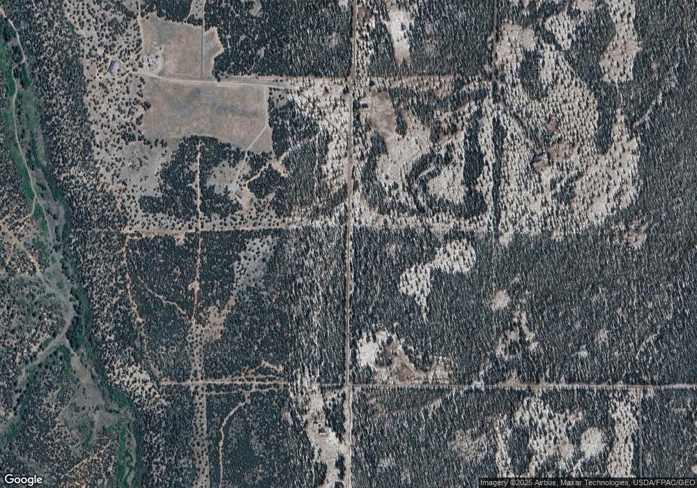
0 Smoke Tree Ln Unit 711529 Montrose, CO 81403
Estimated Value: $2,127,000 - $2,525,131
4
Beds
4
Baths
4,826
Sq Ft
$490/Sq Ft
Est. Value
About This Home
This home is located at 0 Smoke Tree Ln Unit 711529, Montrose, CO 81403 and is currently estimated at $2,364,044, approximately $489 per square foot. 0 Smoke Tree Ln Unit 711529 is a home located in Ouray County with nearby schools including Ridgway Elementary School, Ridgway Middle School, and Ridgway High School.
Ownership History
Date
Name
Owned For
Owner Type
Purchase Details
Closed on
Jul 12, 2024
Sold by
Bean Robert Blu
Bought by
Haynes Todd D and Haynes Maya
Current Estimated Value
Purchase Details
Closed on
May 10, 2021
Sold by
Beam Robert Blu and Burnitt Family Trust
Bought by
Beam Robert Blu
Purchase Details
Closed on
May 29, 2018
Sold by
Double K Mesa Ranch & Co Lp
Bought by
Bean Robert Blu and Burnitt Family Trust
Create a Home Valuation Report for This Property
The Home Valuation Report is an in-depth analysis detailing your home's value as well as a comparison with similar homes in the area
Home Values in the Area
Average Home Value in this Area
Purchase History
| Date | Buyer | Sale Price | Title Company |
|---|---|---|---|
| Haynes Todd D | -- | Land Title Guarantee | |
| Haynes Todd D | $584,605 | Land Title Guarantee | |
| Beam Robert Blu | -- | None Available | |
| Bean Robert Blu | $1,200,000 | Land Title Guarantee Co |
Source: Public Records
Tax History Compared to Growth
Tax History
| Year | Tax Paid | Tax Assessment Tax Assessment Total Assessment is a certain percentage of the fair market value that is determined by local assessors to be the total taxable value of land and additions on the property. | Land | Improvement |
|---|---|---|---|---|
| 2024 | $8,649 | $168,040 | $91,050 | $76,990 |
| 2023 | $8,649 | $174,810 | $95,830 | $78,980 |
| 2022 | $3,831 | $68,500 | $25,620 | $42,880 |
| 2021 | $3,843 | $70,480 | $26,360 | $44,120 |
| 2020 | $2,136 | $43,520 | $8,070 | $35,450 |
| 2019 | $2,136 | $43,520 | $8,070 | $35,450 |
| 2018 | $2,195 | $42,850 | $7,190 | $35,660 |
| 2017 | $2,184 | $53,760 | $7,190 | $46,570 |
| 2016 | $2,106 | $41,460 | $2,330 | $39,130 |
| 2015 | -- | $41,460 | $2,330 | $39,130 |
| 2012 | -- | $51,010 | $9,960 | $41,050 |
Source: Public Records
Map
Nearby Homes
- 744 Larsen Dr
- 230 Sunrose Ln
- 1531 Sage Rd
- 948 Sage Rd
- 3460 Mariposa Dr
- 173 Kendall Rd
- 695 Wireweed Ln
- TBD Wisteria Dr
- 234 Thistle Dr
- TDB Homestead Government Springs Road Roads
- TBD (Tract 4) County Road 1
- 435 Wood Sorrel Ln
- Lot 2 (TBD) County Road 22b
- Lot 3 (TBD) County Road 22b
- Lot 1 County Road 22b
- 6101 County Road 1
- 277 Cotton Ln
- TBD Cotton Ln
- 0 Wisteria Dr
- Lot 5 (TBD) County Road 22
- 0 Smoke Tree Ln Unit 684885
- 0 Smoke Tree Ln Unit 726272
- 440 Smoke Tree Ln
- 919 Sumac Ln
- 380 Smoke Tree Ln
- 908 Sumac Ln
- 906 Sumac Ln
- 1661 Snow Bush Dr
- 678 Sumac Ln
- 1716 Snowbush Dr
- 246 Sage Brush Dr
- 1405 Snowbush Dr
- 311 Sage Bush
- 167 Sunrose Ln
- 0 Snow Bush Unit 749778
- 0 Snow Bush Unit 744707
- 0 Snow Bush Unit 667727
- 0 Snow Bush Unit 719477
