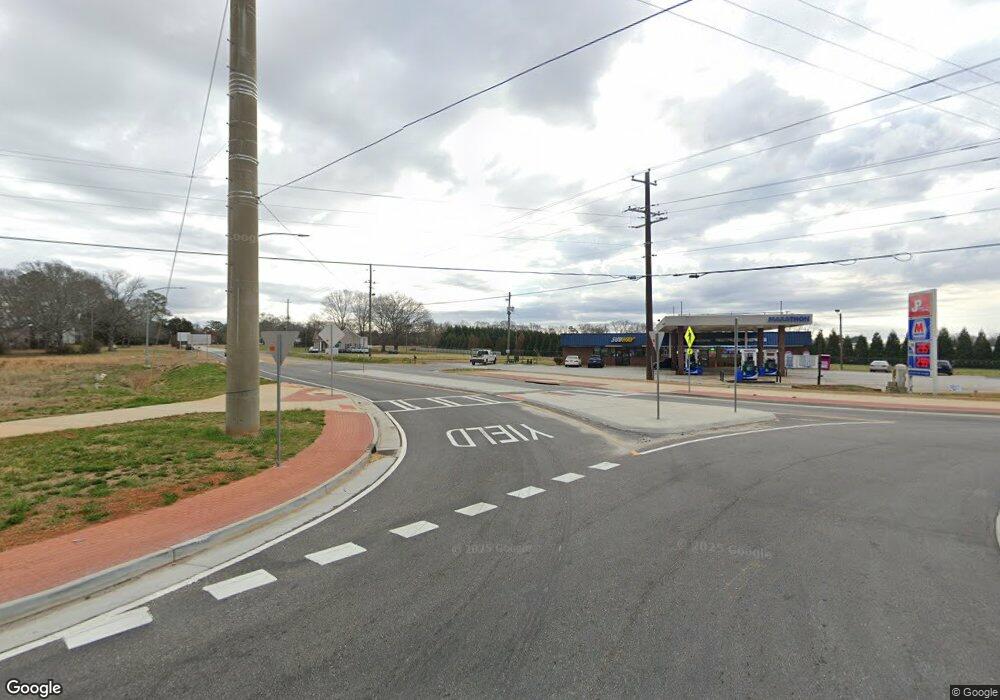
0 State Highway 11 Unit 10261243 Social Circle, GA 30025
--
Bed
--
Bath
--
Sq Ft
15.03
Acres
About This Home
This home is located at 0 State Highway 11 Unit 10261243, Social Circle, GA 30025. 0 State Highway 11 Unit 10261243 is a home located in Walton County with nearby schools including Harmony Elementary School, Carver Middle School, and Monroe Area High School.
Create a Home Valuation Report for This Property
The Home Valuation Report is an in-depth analysis detailing your home's value as well as a comparison with similar homes in the area
Home Values in the Area
Average Home Value in this Area
Tax History Compared to Growth
Map
Nearby Homes
- 2560 Whitney Rd SE
- 1371 Lipscomb Rd
- 1526 N Cherokee Rd
- 0 Social Circle Fairplay Rd Unit 7662271
- 0 Social Circle Fairplay Rd Unit 10620284
- 2214 Alcovy Station Ln
- 709 White Oak Trail
- 511 Alcovy Lakes Dr
- 2412 Waterside Dr
- 1302 N Cherokee Rd
- 569 Highway 11 SW
- 684 N Cherokee Rd
- 1244 Morrow Dr
- 1007 Towne Cir
- 695 Park Place Way
- 690 Park Place Way
- 967 Park Place St
- The Trenton Plan at Town Park
- The Scottsdale Plan at Town Park
- 1169 Dean Hill Rd SE
- 0 State Highway 11 Unit 7346705
- 0 State Highway 11 Unit 7182553
- 0 State Highway 11 Unit 20106516
- 0 State Highway 11 Unit 20106511
- 0 State Highway 11 Unit 3119428
- 0 State Highway 11 Unit 7266215
- 0 State Highway 11 Unit 3256627
- 0 State Highway 11 Unit 8031535
- 0 State Highway 11 Unit 7430730
- 0 State Highway 11 Unit 8887053
- 0 State Highway 11
- 267 Georgia Highway 11
- 267 Ga Highway 11
- 261 State Highway 11
- 2776 Mahlon Smith Rd
- 2800 Mahlon Smith Rd
- 271 Highway 11
- 257 State Highway 11
- 2820 Mahlon Smith Rd
- 0 Highway 11 @ Mahlon Smith Unit 10264340