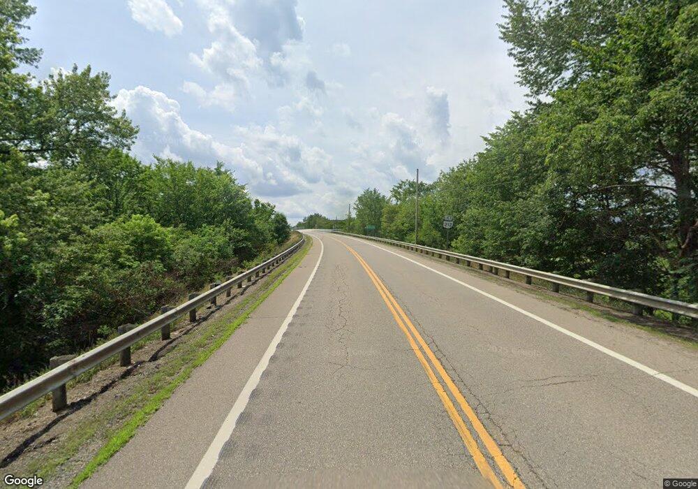
0 State Rd 151 Unit 3933016 Bowerston, OH 44695
--
Bed
--
Bath
--
Sq Ft
0.59
Acres
About This Home
This home is located at 0 State Rd 151 Unit 3933016, Bowerston, OH 44695. 0 State Rd 151 Unit 3933016 is a home located in Harrison County with nearby schools including Conotton Valley Junior/Senior High School.
Ownership History
Date
Name
Owned For
Owner Type
Purchase Details
Closed on
Aug 5, 2019
Sold by
Grigsby Jennifer L
Bought by
Tulak Robert L
Purchase Details
Closed on
Sep 22, 2017
Sold by
Jones William R and Jones Leigh Ann
Bought by
Greene Ronald A and Greene Theresa E
Purchase Details
Closed on
Mar 20, 2008
Sold by
Lindsey Bonnie L
Bought by
Jones William R and Jones Leigh Ann
Home Financials for this Owner
Home Financials are based on the most recent Mortgage that was taken out on this home.
Original Mortgage
$22,100
Interest Rate
6.1%
Mortgage Type
Commercial
Purchase Details
Closed on
May 1, 1996
Purchase Details
Closed on
May 19, 1995
Purchase Details
Closed on
Jul 7, 1994
Create a Home Valuation Report for This Property
The Home Valuation Report is an in-depth analysis detailing your home's value as well as a comparison with similar homes in the area
Home Values in the Area
Average Home Value in this Area
Purchase History
| Date | Buyer | Sale Price | Title Company |
|---|---|---|---|
| Tulak Robert L | $7,000 | Nomad Title | |
| Greene Ronald A | $30,000 | Nomad Title | |
| Jones William R | $37,000 | None Available | |
| -- | -- | -- | |
| -- | $61,300 | -- | |
| -- | $30,000 | -- |
Source: Public Records
Mortgage History
| Date | Status | Borrower | Loan Amount |
|---|---|---|---|
| Previous Owner | Jones William R | $22,100 |
Source: Public Records
Tax History Compared to Growth
Tax History
| Year | Tax Paid | Tax Assessment Tax Assessment Total Assessment is a certain percentage of the fair market value that is determined by local assessors to be the total taxable value of land and additions on the property. | Land | Improvement |
|---|---|---|---|---|
| 2024 | $186 | $3,300 | $3,300 | $0 |
| 2023 | $186 | $3,300 | $3,300 | $0 |
| 2022 | $280 | $5,040 | $5,040 | $0 |
| 2021 | $281 | $5,040 | $5,040 | $0 |
| 2020 | $281 | $5,040 | $5,040 | $0 |
| 2019 | $329 | $5,040 | $5,040 | $0 |
| 2018 | $317 | $5,040 | $5,040 | $0 |
| 2017 | $319 | $5,040 | $5,040 | $0 |
| 2016 | $235 | $3,150 | $3,150 | $0 |
| 2015 | $193 | $3,150 | $3,150 | $0 |
| 2014 | $176 | $3,150 | $3,150 | $0 |
| 2013 | $176 | $3,150 | $3,150 | $0 |
Source: Public Records
Map
Nearby Homes
- 9218 Deacon Rd SW
- 8116 Deer Rd SW Unit 29B3
- 0 Deer Rd SW
- 7822 Hilltop Dr NW
- 8013 & 8019 East St SW
- 29015 Taylor Rd
- 6090 Revere Rd SW
- 91510 Amos Rd
- 86750 Beaver Dam Rd
- 86603 N Bay Rd
- 86750 Cramblett Rd
- 87085 Crall Rd
- 2227 Elk Rd SW Unit 14A
- 240 S Church St
- 8200 Cutler Rd SW
- 86170 Tappan Highlands Rd
- 8528 State Route 250 SE
- 109 W College St
- 113 Walnut St
- 8898 Pleasant Valley Rd SE
