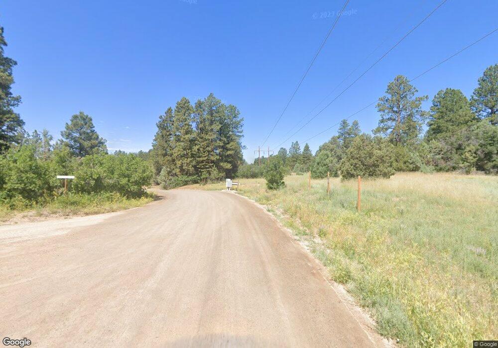
0 Tomahawk Trail Unit 668704 Durango, CO 81303
Estimated Value: $1,683,891 - $2,142,000
6
Beds
8
Baths
5,156
Sq Ft
$356/Sq Ft
Est. Value
About This Home
This home is located at 0 Tomahawk Trail Unit 668704, Durango, CO 81303 and is currently estimated at $1,836,973, approximately $356 per square foot. 0 Tomahawk Trail Unit 668704 is a home located in La Plata County with nearby schools including Fort Lewis Mesa Elementary School, Escalante Middle School, and Durango High School.
Ownership History
Date
Name
Owned For
Owner Type
Purchase Details
Closed on
Aug 6, 2021
Sold by
Cashdollar Christopher Alan and Cashdollar Jacquelyn Jaylene
Bought by
Wilkens Todd W
Current Estimated Value
Purchase Details
Closed on
Mar 15, 2016
Sold by
Brock Gail A
Bought by
Cashdollar Christopher and Cashdollar Jacquelyn
Home Financials for this Owner
Home Financials are based on the most recent Mortgage that was taken out on this home.
Original Mortgage
$622,500
Interest Rate
3.68%
Purchase Details
Closed on
Apr 24, 2009
Sold by
Brock Bobby B and Brock Gail A
Bought by
Brock Gail A and Gail A Brock Trust
Purchase Details
Closed on
Oct 4, 1995
Bought by
Cashdollar Christopher Alan and Cashdollar Jacquelyn
Create a Home Valuation Report for This Property
The Home Valuation Report is an in-depth analysis detailing your home's value as well as a comparison with similar homes in the area
Home Values in the Area
Average Home Value in this Area
Purchase History
| Date | Buyer | Sale Price | Title Company |
|---|---|---|---|
| Wilkens Todd W | $1,275,000 | Colorado Ttl & Closing Svcs | |
| Cashdollar Christopher | -- | -- | |
| Brock Gail A | -- | None Available | |
| Cashdollar Christopher Alan | $70,000 | -- |
Source: Public Records
Mortgage History
| Date | Status | Borrower | Loan Amount |
|---|---|---|---|
| Previous Owner | Cashdollar Christopher | $622,500 | |
| Previous Owner | Cashdollar Christopher | -- |
Source: Public Records
Tax History Compared to Growth
Tax History
| Year | Tax Paid | Tax Assessment Tax Assessment Total Assessment is a certain percentage of the fair market value that is determined by local assessors to be the total taxable value of land and additions on the property. | Land | Improvement |
|---|---|---|---|---|
| 2025 | $4,399 | $96,760 | $19,140 | $77,620 |
| 2024 | $3,688 | $89,710 | $15,760 | $73,950 |
| 2023 | $3,688 | $91,380 | $14,500 | $76,880 |
| 2022 | $3,049 | $116,410 | $15,070 | $101,340 |
| 2021 | $3,066 | $73,900 | $11,900 | $62,000 |
| 2020 | $3,041 | $75,580 | $11,120 | $64,460 |
| 2019 | $2,915 | $75,580 | $11,120 | $64,460 |
| 2018 | $2,576 | $66,870 | $11,190 | $55,680 |
| 2017 | $2,522 | $66,870 | $11,190 | $55,680 |
| 2016 | $2,474 | $71,090 | $12,990 | $58,100 |
| 2015 | $2,327 | $71,090 | $12,990 | $58,100 |
| 2014 | -- | $60,360 | $12,990 | $47,370 |
| 2013 | -- | $60,360 | $12,990 | $47,370 |
Source: Public Records
Map
Nearby Homes
- 199 Logging Trail Rd
- 285 Logging Trail Rd
- 152 Lane Dr
- 275 Logging Trail Rd
- 152 Peak Trail Dr
- 1310 W Meadow Rd
- 481 Far View Rd
- 307 Deer Trail Rd
- 1172 Ridge Rd
- 1969 County Road 142
- 111 Rendezvous Trail
- 550 Wildcat Trail
- 290 Blue Ridge
- TBD Vaquero Way
- 23 Hunter Ct
- 149 Tipple Ave
- 142 Tipple Ave
- 122 Tipple Ave
- 146 Tipple Ave
- 148 Tipple Ave
- 180 Tomahawk Trail
- 40 Tomahawk Trail
- 37 Arapahoe Dr
- 37 Cheyenne Dr
- TBD Spring Rd
- 929 Spring Rd
- 100 Cheyenne Dr
- 38 Arapahoe Dr
- 1001 Spring Rd
- 91 Arapahoe Dr
- 792 Spring Rd
- 1003 Spring Rd
- 0 Arapahoe Dr
- 99 Cheyenne Dr
- 704 Spring Rd
- 0 Cheyenne Dr
- 90 Arapahoe Dr
- 37 Tomahawk Ridge Ln
- 616 Spring Rd
- 984 Spring Rd
