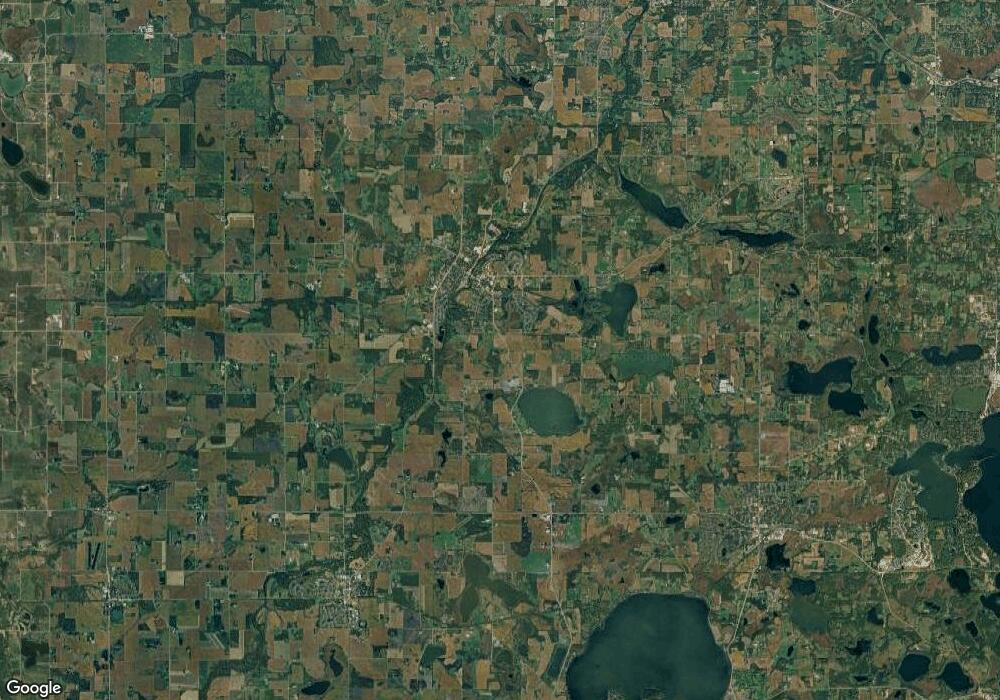
0 Unassign SW Address St SW Watertown Township, MN 55388
--
Bed
--
Bath
--
Sq Ft
61.17
Acres
About This Home
This home is located at 0 Unassign SW Address St SW, Watertown Township, MN 55388. 0 Unassign SW Address St SW is a home located in Carver County with nearby schools including Watertown-Mayer Elementary School, Watertown-Mayer Middle School, and Watertown Mayer High School.
Ownership History
Date
Name
Owned For
Owner Type
Purchase Details
Closed on
Jan 27, 2025
Sold by
Morgan Jacquelin and Anderson Leonard G
Bought by
Johnsrud Andrew Michael and Johnsrud Nicole Larae
Home Financials for this Owner
Home Financials are based on the most recent Mortgage that was taken out on this home.
Original Mortgage
$340,000
Outstanding Balance
$335,267
Interest Rate
6.85%
Mortgage Type
Credit Line Revolving
Purchase Details
Closed on
Dec 30, 2013
Sold by
Lga Investment Group Inc
Bought by
Morgan Jacquelin
Purchase Details
Closed on
May 4, 2006
Sold by
Laurel James M and Laurel Sharon E
Bought by
Lga Investment Group Inc
Create a Home Valuation Report for This Property
The Home Valuation Report is an in-depth analysis detailing your home's value as well as a comparison with similar homes in the area
Home Values in the Area
Average Home Value in this Area
Purchase History
| Date | Buyer | Sale Price | Title Company |
|---|---|---|---|
| Johnsrud Andrew Michael | $600,000 | First American Title | |
| Morgan Jacquelin | $400,000 | Premier Title Ins Agency Inc | |
| Lga Investment Group Inc | $1,672,949 | -- |
Source: Public Records
Mortgage History
| Date | Status | Borrower | Loan Amount |
|---|---|---|---|
| Open | Johnsrud Andrew Michael | $340,000 |
Source: Public Records
Tax History Compared to Growth
Tax History
| Year | Tax Paid | Tax Assessment Tax Assessment Total Assessment is a certain percentage of the fair market value that is determined by local assessors to be the total taxable value of land and additions on the property. | Land | Improvement |
|---|---|---|---|---|
| 2025 | $3,084 | $586,600 | $586,600 | $0 |
| 2024 | $2,674 | $561,100 | $561,100 | $0 |
| 2023 | $2,690 | $491,000 | $491,000 | $0 |
| 2022 | $3,038 | $491,000 | $491,000 | $0 |
| 2021 | $3,226 | $446,300 | $446,300 | $0 |
| 2020 | $3,356 | $446,300 | $446,300 | $0 |
| 2019 | $3,552 | $440,000 | $440,000 | $0 |
| 2018 | $3,788 | $440,000 | $440,000 | $0 |
| 2017 | $4,520 | $440,000 | $440,000 | $0 |
| 2016 | $4,624 | $440,000 | $0 | $0 |
| 2015 | $4,674 | $427,200 | $0 | $0 |
| 2014 | $4,674 | $414,500 | $0 | $0 |
Source: Public Records
Map
Nearby Homes
- 593 Sienna Dr
- 578 Sienna Dr
- 865 Quail Ct
- XXX Newton Ave SE
- 1201 Bishop Cir
- 1221 Bishop Cir
- 1290 Knight Ln
- 12120 County Road 24
- 555 Industrial Blvd
- 536 Industrial Blvd
- 1316 Balsam Ln
- 545 Linden Ct
- 575 Industrial Blvd
- 613 Hawthorne Ln
- 1286 Balsam Ln
- 516 Industrial Blvd
- 653 Hawthorne Ln
- 570 Linden Ct
- 115 Riverside Terrace Dr Unit 115
- 313 Angel Ave SW
- 0 Unassigned SW Address St SW
- 2920 County Road 10 N
- 12240 30th St
- 2860 County Road 10 N
- 2850 County Road 10 N
- 12220 30th St
- 12230 30th St
- 3246 County Road 10 N
- 1000 Trebbiano Ln S
- 1006 Trebbiano Ln S
- 1012 Trebbiano Ln S
- 1018 Trebbiano Ln S
- 1032 Trebbiano Ln S
- 1038 Trebbiano Ln S
- 1056 Trebbiano Ln S
- 857 Quail Pkwy
- 1044 Trebbiano Ln S
- 861 Quail Pkwy
- 1050 Trebbiano Ln S
- 944 Deerfield Rd
