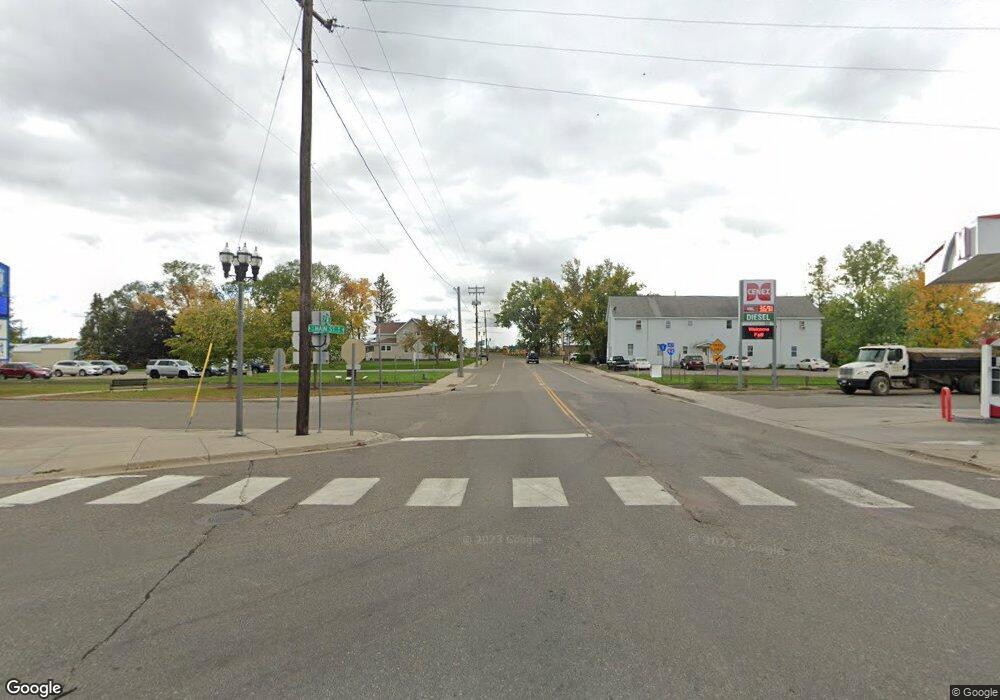
0 Unassigned Address SE Unit 3952731 Freeport, MN 56331
Estimated Value: $297,112 - $335,000
3
Beds
1
Bath
1,282
Sq Ft
$244/Sq Ft
Est. Value
About This Home
This home is located at 0 Unassigned Address SE Unit 3952731, Freeport, MN 56331 and is currently estimated at $313,278, approximately $244 per square foot. 0 Unassigned Address SE Unit 3952731 is a home located in Stearns County with nearby schools including Melrose Elementary School, Melrose Middle School, and Melrose Secondary School.
Ownership History
Date
Name
Owned For
Owner Type
Purchase Details
Closed on
Apr 19, 2019
Sold by
Hinnenkamp Olivia
Bought by
Hinnenkamp Olivia and Yaunick Leon
Current Estimated Value
Purchase Details
Closed on
Oct 26, 2012
Sold by
Paxmar Lending Llc
Bought by
Not Provided
Create a Home Valuation Report for This Property
The Home Valuation Report is an in-depth analysis detailing your home's value as well as a comparison with similar homes in the area
Home Values in the Area
Average Home Value in this Area
Purchase History
| Date | Buyer | Sale Price | Title Company |
|---|---|---|---|
| Hinnenkamp Olivia | -- | -- | |
| Hinnenkamp Olivia | $199,000 | -- | |
| Not Provided | $147,000 | -- |
Source: Public Records
Tax History Compared to Growth
Tax History
| Year | Tax Paid | Tax Assessment Tax Assessment Total Assessment is a certain percentage of the fair market value that is determined by local assessors to be the total taxable value of land and additions on the property. | Land | Improvement |
|---|---|---|---|---|
| 2025 | $3,630 | $288,300 | $35,200 | $253,100 |
| 2024 | $3,630 | $273,000 | $35,200 | $237,800 |
| 2023 | $3,244 | $252,500 | $35,200 | $217,300 |
| 2022 | $2,968 | $195,600 | $30,000 | $165,600 |
| 2021 | $2,950 | $195,600 | $30,000 | $165,600 |
| 2020 | $2,432 | $191,600 | $30,000 | $161,600 |
| 2019 | $2,102 | $172,700 | $28,000 | $144,700 |
| 2018 | $2,134 | $151,300 | $26,000 | $125,300 |
| 2017 | $1,996 | $139,200 | $25,000 | $114,200 |
| 2016 | $1,874 | $0 | $0 | $0 |
| 2015 | $1,810 | $0 | $0 | $0 |
| 2014 | -- | $0 | $0 | $0 |
Source: Public Records
Map
Nearby Homes
- 1016 4th Ave SE
- 119 9th St SE
- 1020 3rd Ave SE
- 400 11th St SE
- 404 11th St SE
- 311 11th St SE
- 204 3rd Ave SE
- 207 2nd St NW
- 222 3rd Ave E
- 240 Liberty St
- 252 3rd Ave W
- 262 3rd Ave W
- 282 3rd Ave W
- 272 3rd Ave W
- 242 3rd Ave W
- 232 3rd Ave W
- 24446 County Road 153
- 1180 Stonebrooke Dr
- 609 Augustana Ln
- 810 Deerberry Ct
- 0 Unassigned Address SE Unit 4106924
- 0 Unassigned Address SE Unit 4159349
- 0 Unassigned Address SE Unit 3495544
- 0 Unassigned Address SE Unit 4282860
- 305 305 10th-Street-se
- 305 10th St SE
- 309 10th St SE
- 301 10th St SE
- 301 10th St SE
- 208 9th St SE
- 313 10th St SE
- 204 9th St SE
- 212 9th St SE
- 308 308 10th-Street-se
- 308 10th St SE
- 304 10th St SE
- 300 10th St SE
- 300 10th St SE
- 300 10th St SE
- 300 SE 10th St
