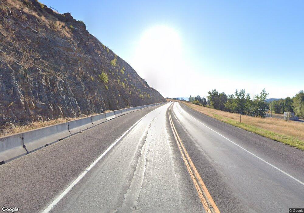
0 Us-93 Unit 306878 Eureka, MT 59917
Estimated Value: $170,000 - $301,000
Studio
--
Bath
--
Sq Ft
1
Acres
About This Home
This home is located at 0 Us-93 Unit 306878, Eureka, MT 59917 and is currently estimated at $246,333. 0 Us-93 Unit 306878 is a home located in Lincoln County with nearby schools including Eureka Elementary School, Eureka Middle School, and Lincoln County High School.
Ownership History
Date
Name
Owned For
Owner Type
Purchase Details
Closed on
Feb 14, 2025
Sold by
Espinoza Steve and Escobar Andrew
Bought by
Hull David W and Hull Miranda Ann
Current Estimated Value
Purchase Details
Closed on
Aug 25, 2022
Sold by
Ben Pluid
Bought by
Espinoza Steve
Home Financials for this Owner
Home Financials are based on the most recent Mortgage that was taken out on this home.
Original Mortgage
$6,666
Interest Rate
5.51%
Mortgage Type
Seller Take Back
Purchase Details
Closed on
Jul 18, 2006
Sold by
Hull David W
Bought by
Espinoza Steve and Pluid Ben
Create a Home Valuation Report for This Property
The Home Valuation Report is an in-depth analysis detailing your home's value as well as a comparison with similar homes in the area
Purchase History
| Date | Buyer | Sale Price | Title Company |
|---|---|---|---|
| Hull David W | -- | Flying S Title & Escrow | |
| Espinoza Steve | -- | First American Title | |
| Espinoza Steve | -- | First American Title Co |
Source: Public Records
Mortgage History
| Date | Status | Borrower | Loan Amount |
|---|---|---|---|
| Previous Owner | Espinoza Steve | $6,666 |
Source: Public Records
Tax History
| Year | Tax Paid | Tax Assessment Tax Assessment Total Assessment is a certain percentage of the fair market value that is determined by local assessors to be the total taxable value of land and additions on the property. | Land | Improvement |
|---|---|---|---|---|
| 2025 | $442 | $121,984 | $0 | $0 |
| 2024 | $513 | $81,242 | $0 | $0 |
| 2023 | $662 | $81,242 | $0 | $0 |
| 2022 | $539 | $68,110 | $0 | $0 |
| 2021 | $580 | $68,110 | $0 | $0 |
| 2020 | $494 | $22,000 | $0 | $0 |
| 2019 | $494 | $22,000 | $0 | $0 |
| 2018 | $661 | $41,272 | $0 | $0 |
| 2017 | $353 | $41,272 | $0 | $0 |
| 2016 | $682 | $44,045 | $0 | $0 |
| 2015 | $340 | $44,045 | $0 | $0 |
| 2014 | $510 | $33,682 | $0 | $0 |
Source: Public Records
Map
Nearby Homes
- 4 Acres U S 93
- Nhn Tobacco Rd
- 220 6th Ave E
- 204 3rd Ave E
- 317 6th Ave E
- 412 1st Ave E
- 450 6th St E
- 506 1st Ave E Unit A,B,C
- 407 1st Ave W
- 575 9th St
- 762 Hillandale Trail
- 1838 Mills Spring Rd
- 77 Elmhurst Way
- 782 Othorp Lake Rd
- 148 Trail
- 560 Riding High Dr
- NHN Hillandale
- Nhn Othorp Lake Rd Unit Lot 9
- 130 Crosscut Rd
- 11 Vista View Dr
- 0 Mountain View Dr
- 124 Riverside Dr
- 120 Riverside Dr
- 128 Riverside Dr
- 126 Riverside Dr
- 13 Mountain View Dr
- Nhn Pinkham Creek Rd
- 95 Purdy Dr
- 91 Purdy Dr
- 14 Mountain View Dr
- 15 Mountain View Dr
- 26 Purdy Dr
- 112 Riverside Dr
- 114 Riverside Dr
- 136 Riverside Dr
- Lot 10 Purdy Dr
- 169 Riverside Dr
- 133 Riverside Dr
- 118 Riverside Dr
- 116 Riverside Dr
