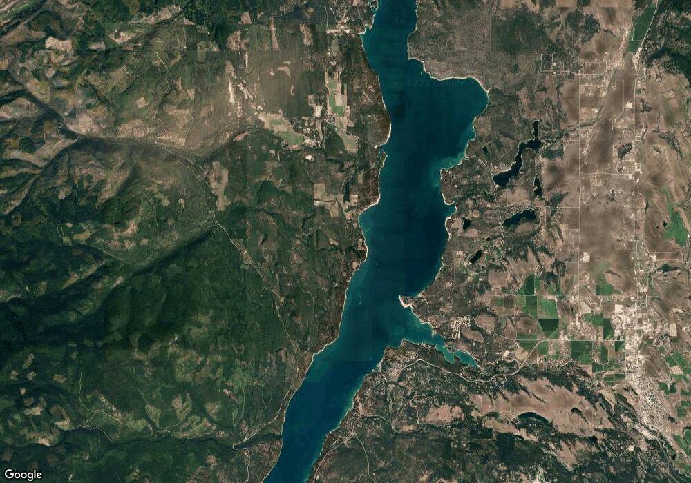
0 W Kootenai Rd Unit 289477 Rexford, MT 59930
Estimated Value: $433,000 - $605,048
4
Beds
1
Bath
3,784
Sq Ft
$137/Sq Ft
Est. Value
About This Home
This home is located at 0 W Kootenai Rd Unit 289477, Rexford, MT 59930 and is currently estimated at $519,024, approximately $137 per square foot. 0 W Kootenai Rd Unit 289477 is a home located in Lincoln County with nearby schools including Eureka Elementary School, Eureka Middle School, and Lincoln County High School.
Ownership History
Date
Name
Owned For
Owner Type
Purchase Details
Closed on
Nov 5, 2021
Sold by
Yoder Roy and Yoder Cora S
Bought by
Yoder Philip and Yoder Martha
Current Estimated Value
Home Financials for this Owner
Home Financials are based on the most recent Mortgage that was taken out on this home.
Original Mortgage
$200,000
Interest Rate
3.01%
Mortgage Type
Construction
Create a Home Valuation Report for This Property
The Home Valuation Report is an in-depth analysis detailing your home's value as well as a comparison with similar homes in the area
Home Values in the Area
Average Home Value in this Area
Purchase History
| Date | Buyer | Sale Price | Title Company |
|---|---|---|---|
| Yoder Philip | -- | First American Title Libby |
Source: Public Records
Mortgage History
| Date | Status | Borrower | Loan Amount |
|---|---|---|---|
| Closed | Yoder Philip | $200,000 |
Source: Public Records
Tax History Compared to Growth
Tax History
| Year | Tax Paid | Tax Assessment Tax Assessment Total Assessment is a certain percentage of the fair market value that is determined by local assessors to be the total taxable value of land and additions on the property. | Land | Improvement |
|---|---|---|---|---|
| 2025 | $1,556 | $541,800 | $0 | $0 |
| 2024 | $2,130 | $467,200 | $0 | $0 |
| 2023 | $2,744 | $467,200 | $0 | $0 |
| 2022 | $1,765 | $314,000 | $0 | $0 |
| 2021 | $1,765 | $283,000 | $0 | $0 |
| 2020 | $1,997 | $302,200 | $0 | $0 |
| 2019 | $2,025 | $302,200 | $0 | $0 |
| 2018 | $2,082 | $305,300 | $0 | $0 |
| 2017 | $1,914 | $305,300 | $0 | $0 |
| 2016 | $1,768 | $254,702 | $0 | $0 |
| 2015 | $1,437 | $254,702 | $0 | $0 |
| 2014 | $2,234 | $199,174 | $0 | $0 |
Source: Public Records
Map
Nearby Homes
- 7352 W Kootenai Rd
- 67 Tumbleweed Trail
- 229 Mountain Lion Dr
- 32 Enchanted Way
- 455 Pine Valley Dr S
- 554 Elk Run Dr
- 120 Pine Valley Dr
- NHN W Dodge Creek Rd
- 282 Mount View Rd
- 5855 W Kootenai Rd
- 5765 W Kootenai Rd
- 53 Mccracken Trail
- NHN (Lot 11) Mcgarvey Way
- NHN (Lot 10) Hidden Meadows Rd
- 60 Crooked Stick Way
- 40 Crooked Stick Way
- 70 Crooked Stick Way
- 182 Trails End Rd
- 3653 Sophie Lake Rd
- 34 Crooked Stick Way
- 0 W Kootenai Rd Unit 283280
- 0 W Kootenai Rd Unit 289488
- 7214 West Kootenai Rd
- 7302 W Kootenai Rd
- 7302 West Kootenai Rd
- 0 W Kootenai Rd Unit 288197
- LOT 21 Green Basin Views II
- 7217 West Kootenai Rd
- 7217 West Kootenai Rd
- 280 Whitetail Dr
- 0 W Kootenai Rd Unit 288194
- 6916 West Kootenai Rd
- 6916 West Kootenai Rd
- 7100 W Kootenai Rd
- 5100 W Kootenai Rd
- 5100 West Kootenai Rd
- Nhn W Kootenai Rd
- LOT 16 Green Basin Views II
