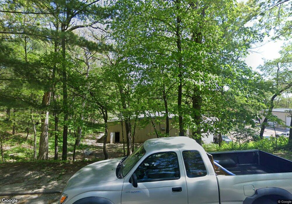
0 Weed Park Parcel Unit 22-366 Muscatine, IA 52761
Estimated Value: $101,000 - $167,080
--
Bed
--
Bath
--
Sq Ft
11.13
Acres
About This Home
This home is located at 0 Weed Park Parcel Unit 22-366, Muscatine, IA 52761 and is currently estimated at $127,027. 0 Weed Park Parcel Unit 22-366 is a home located in Muscatine County with nearby schools including Muskie Early Learning Center, Madison Elementary School, and Central Middle School.
Ownership History
Date
Name
Owned For
Owner Type
Purchase Details
Closed on
Oct 16, 2025
Sold by
Jk Trust Llc
Bought by
Larue Joel D and Larue Kendra
Current Estimated Value
Purchase Details
Closed on
Jun 30, 2025
Sold by
Larue Joel D and Larue Kendra
Bought by
Jk Trust
Purchase Details
Closed on
Jun 10, 2022
Sold by
Crescent Holdings Llc
Bought by
Larue Joel D
Home Financials for this Owner
Home Financials are based on the most recent Mortgage that was taken out on this home.
Original Mortgage
$187,500
Interest Rate
5.27%
Mortgage Type
New Conventional
Create a Home Valuation Report for This Property
The Home Valuation Report is an in-depth analysis detailing your home's value as well as a comparison with similar homes in the area
Home Values in the Area
Average Home Value in this Area
Purchase History
| Date | Buyer | Sale Price | Title Company |
|---|---|---|---|
| Larue Joel D | -- | None Listed On Document | |
| Jk Trust | -- | None Listed On Document | |
| Larue Joel D | $150,000 | None Listed On Document |
Source: Public Records
Mortgage History
| Date | Status | Borrower | Loan Amount |
|---|---|---|---|
| Previous Owner | Larue Joel D | $187,500 |
Source: Public Records
Tax History Compared to Growth
Tax History
| Year | Tax Paid | Tax Assessment Tax Assessment Total Assessment is a certain percentage of the fair market value that is determined by local assessors to be the total taxable value of land and additions on the property. | Land | Improvement |
|---|---|---|---|---|
| 2025 | $974 | $80,190 | $80,190 | $0 |
| 2024 | $974 | $80,190 | $80,190 | $0 |
| 2023 | $816 | $64,151 | $64,151 | $0 |
| 2022 | $832 | $60,520 | $60,520 | $0 |
| 2021 | $832 | $60,520 | $60,520 | $0 |
| 2020 | $812 | $56,520 | $56,520 | $0 |
| 2019 | $860 | $56,520 | $0 | $0 |
| 2018 | $840 | $56,520 | $0 | $0 |
| 2017 | $840 | $56,520 | $0 | $0 |
| 2016 | $880 | $56,520 | $0 | $0 |
| 2015 | $880 | $56,520 | $0 | $0 |
| 2014 | $888 | $56,520 | $0 | $0 |
Source: Public Records
Map
Nearby Homes
- LOT 10 Pine Ridge Ct
- 1708 Cobblestone Dr
- 1554 Washington St
- 108 Eagle Watch Rd
- 100 Eagle Watch Rd
- 1126 Park Ave
- 1210 Park Ave
- 140 Sheridan St
- 1215 Grand Ave
- 211 Eagle Ridge Rd
- 1903 Park Ave
- 1903 Park Ave
- 1509 Lincoln Blvd
- 1707 Lincoln Blvd
- 1510 1st Ave
- 416 Jackson St
- 2104 Grand Ave
- 504 Adams St
- 514 Jackson St
- 521 Monroe St
- 0 Weed Park Parcel Unit 23-188
- 00 New Era Rd
- 00 New Era Rd Unit Muscatine
- 2812 Highway 22
- 2792 Shamrock Dr
- 2790 Shamrock Dr
- 2788 Shamrock Dr
- 2793 Shamrock Dr
- 3006 River Rd
- 2786 Shamrock Dr
- 2051 Heatherlynn Dr E-1
- 2051 Heatherlynn Drive E-1
- 2789 Shamrock Dr
- 2051 Heatherlynn Dr
- 2051 Heatherlynn Dr Unit K2
- 2051 Heatherlynn Dr Unit K1
- 2051 Heatherlynn Dr Unit J2
- 2051 Heatherlynn Dr Unit J1
- 2051 Heatherlynn Dr Unit H2
- 2051 Heatherlynn Dr Unit H1