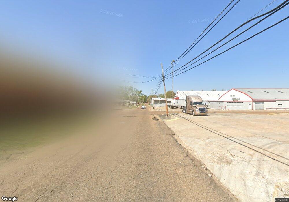
00 24th and Lasalle St McComb, MS 39648
Estimated Value: $85,000 - $211,000
--
Bed
--
Bath
--
Sq Ft
3.22
Acres
About This Home
This home is located at 00 24th and Lasalle St, McComb, MS 39648 and is currently estimated at $139,355. 00 24th and Lasalle St is a home located in Pike County with nearby schools including Higgins Middle School, Otken Elementary School, and Denman Junior High School.
Ownership History
Date
Name
Owned For
Owner Type
Purchase Details
Closed on
Jun 15, 2021
Sold by
Pike National Bank
Bought by
Torrance Ricky
Current Estimated Value
Home Financials for this Owner
Home Financials are based on the most recent Mortgage that was taken out on this home.
Original Mortgage
$43,850
Outstanding Balance
$17,413
Interest Rate
2.9%
Mortgage Type
Purchase Money Mortgage
Estimated Equity
$121,942
Purchase Details
Closed on
Sep 11, 2019
Sold by
Patterson Dennis
Bought by
Dixon James and Dixon Mary
Purchase Details
Closed on
Jan 19, 2006
Sold by
Bennett Dorothy F
Bought by
Patterson Dennis
Create a Home Valuation Report for This Property
The Home Valuation Report is an in-depth analysis detailing your home's value as well as a comparison with similar homes in the area
Home Values in the Area
Average Home Value in this Area
Purchase History
| Date | Buyer | Sale Price | Title Company |
|---|---|---|---|
| Torrance Ricky | -- | None Available | |
| Dixon James | -- | None Available | |
| Patterson Dennis | -- | None Available |
Source: Public Records
Mortgage History
| Date | Status | Borrower | Loan Amount |
|---|---|---|---|
| Open | Torrance Ricky | $43,850 |
Source: Public Records
Tax History Compared to Growth
Tax History
| Year | Tax Paid | Tax Assessment Tax Assessment Total Assessment is a certain percentage of the fair market value that is determined by local assessors to be the total taxable value of land and additions on the property. | Land | Improvement |
|---|---|---|---|---|
| 2025 | $2,800 | $15,682 | $0 | $0 |
| 2024 | $2,800 | $15,682 | $0 | $0 |
| 2023 | $2,769 | $15,682 | $0 | $0 |
| 2022 | $2,730 | $15,682 | $0 | $0 |
| 2021 | $2,722 | $15,682 | $0 | $0 |
| 2020 | $2,722 | $15,682 | $0 | $0 |
| 2019 | $2,604 | $15,682 | $0 | $0 |
| 2018 | $2,528 | $15,682 | $0 | $0 |
| 2017 | $2,543 | $15,682 | $0 | $0 |
| 2016 | $2,524 | $15,682 | $0 | $0 |
| 2015 | -- | $15,682 | $0 | $0 |
| 2014 | -- | $15,682 | $0 | $0 |
| 2013 | -- | $15,682 | $0 | $0 |
Source: Public Records
Map
Nearby Homes
- 617 Edgar St
- 823 Edgar St
- XXX US Highway 98
- 00 US Highway 98
- 214 Thompson St
- 425 S Broadway St
- 517 S 5th St
- 200-208 5th Ave
- 730 Vogel St
- 505 S Magnolia St
- 313 Louisiana Ave
- 1047 Lenoir Sellers Rd
- 710 Beech St
- 412 S 4th St
- 513 S 5th St
- 703 Pennsylvania Ave
- 724 Beech St
- 923 Bendat St
- 605 Virginia Ave
- 1002 Pershing St
- 748 S Broadway St
- 720 S Broadway St
- 120 24th St
- 717 S Broadway St
- 816 Edgar St
- 716 S Broadway St
- 109 Jones St
- 721 S Broadway St
- 711 Edgar St
- 811 Edgar St
- xxx Hwy98 24
- 700 S Broadway St
- 900 Lasalle St
- 307 Beech St
- 710 S Broadway St
- 904 Lasalle St
- 225 22nd St
- 319 24th St
- 317 Beech St
- 711 S Broadway St
