00 Linwa Blvd Unit Linda Lane - Lot 3 Anderson, SC 29621
--
Bed
--
Bath
--
Sq Ft
2
Acres
About This Home
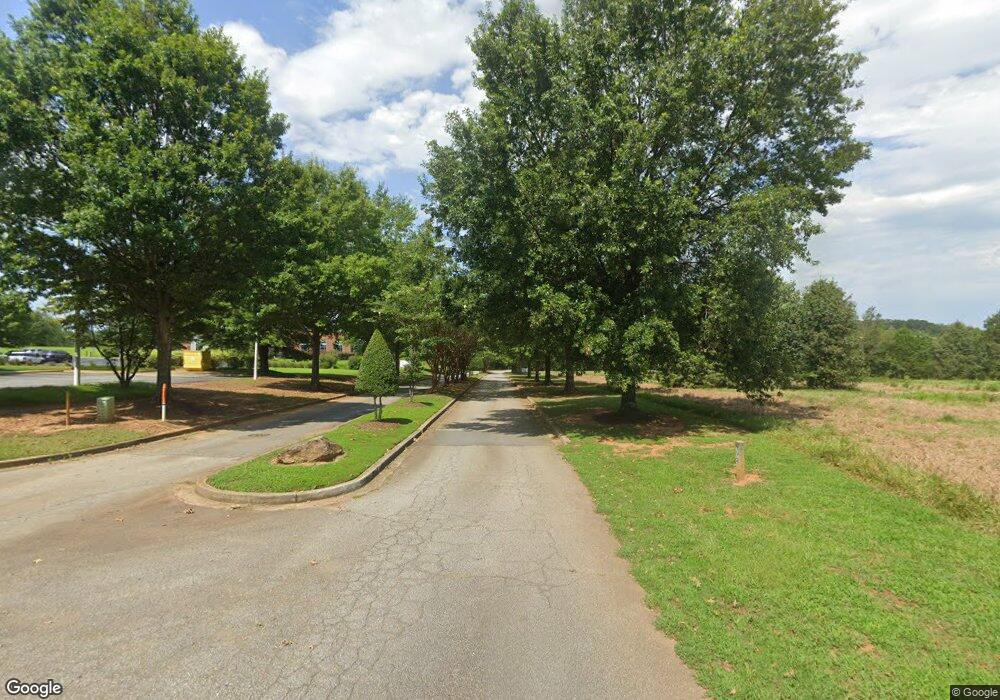
This home is located at 00 Linwa Blvd Unit Linda Lane - Lot 3, Anderson, SC 29621. 00 Linwa Blvd Unit Linda Lane - Lot 3 is a home located in Anderson County with nearby schools including North Pointe Elementary School, McCants Middle School, and T.L. Hanna High School.
Ownership History
Date
Name
Owned For
Owner Type
Purchase Details
Closed on
Apr 27, 2023
Sold by
Linwa Llc
Bought by
Linwa Blvd 21 Llc
Purchase Details
Closed on
Jan 15, 2015
Sold by
Linwa Llc
Bought by
Ka & C Llc
Home Financials for this Owner
Home Financials are based on the most recent Mortgage that was taken out on this home.
Original Mortgage
$152,500
Interest Rate
3.98%
Mortgage Type
Commercial
Purchase Details
Closed on
Jul 10, 2008
Sold by
Mccoy Linda
Bought by
Mccoy Realty Llc
Home Financials for this Owner
Home Financials are based on the most recent Mortgage that was taken out on this home.
Original Mortgage
$389,755
Interest Rate
6.08%
Mortgage Type
Unknown
Create a Home Valuation Report for This Property
The Home Valuation Report is an in-depth analysis detailing your home's value as well as a comparison with similar homes in the area
Home Values in the Area
Average Home Value in this Area
Purchase History
| Date | Buyer | Sale Price | Title Company |
|---|---|---|---|
| Linwa Blvd 21 Llc | $1,800,000 | None Listed On Document | |
| Ka & C Llc | $160,000 | -- | |
| Mccoy Realty Llc | -- | -- |
Source: Public Records
Mortgage History
| Date | Status | Borrower | Loan Amount |
|---|---|---|---|
| Previous Owner | Ka & C Llc | $152,500 | |
| Previous Owner | Mccoy Realty Llc | $389,755 |
Source: Public Records
Tax History Compared to Growth
Tax History
| Year | Tax Paid | Tax Assessment Tax Assessment Total Assessment is a certain percentage of the fair market value that is determined by local assessors to be the total taxable value of land and additions on the property. | Land | Improvement |
|---|---|---|---|---|
| 2024 | $35 | $110 | $110 | $0 |
| 2023 | $35 | $140 | $140 | $0 |
| 2022 | $44 | $140 | $140 | $0 |
| 2021 | $45 | $140 | $140 | $0 |
| 2020 | $45 | $140 | $140 | $0 |
| 2019 | $44 | $140 | $140 | $0 |
| 2018 | $44 | $140 | $140 | $0 |
| 2017 | -- | $140 | $140 | $0 |
| 2016 | $43 | $150 | $150 | $0 |
| 2015 | $47 | $150 | $150 | $0 |
| 2014 | $46 | $150 | $150 | $0 |
Source: Public Records
Map
Nearby Homes
- 282 Silo Ridge Dr
- Lakehurst Plan at Silo Ridge
- Litchfield Plan at Silo Ridge
- Lochlan Plan at Silo Ridge
- 276 Silo Ridge Dr
- 286 Silo Ridge Dr
- 267 Silo Ridge Dr
- 231 Silo Ridge Dr
- 278 Silo Ridge Dr
- 284 Silo Ridge Dr
- 129 Silo Ridge Dr
- 288 Silo Ridge Dr
- 131 Silo Ridge Dr
- 274 Silo Ridge Dr
- 110 Silo Ridge Dr
- 285 Silo Ridge Dr
- 00 Linwa Blvd
- 00 Linwa Blvd
- 00 Linwa Blvd Unit Linda Lane - Lot 3
- 00 Linda Ln
- 100 Gavotte Ln
- 132 Rossmoor Ct
- 130 Rossmoor Ct
- 3211 McGee Rd
- 3231 McGee Rd
- 1 Linwa Blvd
- 129 Rossmoor Ct
- 126 Rossmoor Ct
- 127 Rossmoor Ct
- 3205 McGee Rd
- 124 Rossmoor Ct
- 125 Rossmoor Ct
- 3235 McGee Rd
- 123 Rossmoor Ct
- 506 Covington Ct