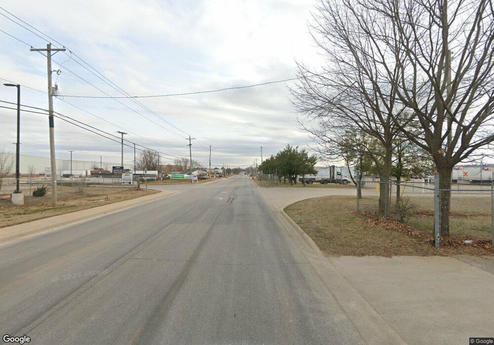
00 S Lincoln St Lowell, AR 72745
--
Bed
--
Bath
--
Sq Ft
5.7
Acres
About This Home
This home is located at 00 S Lincoln St, Lowell, AR 72745. 00 S Lincoln St is a home located in Benton County with nearby schools including Lowell Elementary School, Kirksey Middle School, and Rogers High School.
Ownership History
Date
Name
Owned For
Owner Type
Purchase Details
Closed on
Dec 28, 2011
Sold by
Maury Barnes & Associates Inc
Bought by
Barnes Robert A and Barnes James Manuel
Purchase Details
Closed on
Apr 26, 2010
Sold by
Jessco Holdings Inc
Bought by
Maury Barnes & Associates Inc
Purchase Details
Closed on
Apr 14, 2009
Sold by
Falconhead Holdings Llc
Bought by
Jinco Llc
Purchase Details
Closed on
Apr 13, 2009
Sold by
Nsb Enterprises Llc
Bought by
Falconhead Holdings Llc
Purchase Details
Closed on
Dec 13, 2001
Bought by
Nsb
Create a Home Valuation Report for This Property
The Home Valuation Report is an in-depth analysis detailing your home's value as well as a comparison with similar homes in the area
Home Values in the Area
Average Home Value in this Area
Purchase History
| Date | Buyer | Sale Price | Title Company |
|---|---|---|---|
| Barnes Robert A | -- | None Available | |
| Maury Barnes & Associates Inc | $350,000 | None Available | |
| Jinco Llc | $1,840,000 | Clear Title Of Arkansas Llc | |
| Falconhead Holdings Llc | -- | None Available | |
| Nsb | $450,000 | -- | |
| Nsb | -- | -- |
Source: Public Records
Tax History Compared to Growth
Tax History
| Year | Tax Paid | Tax Assessment Tax Assessment Total Assessment is a certain percentage of the fair market value that is determined by local assessors to be the total taxable value of land and additions on the property. | Land | Improvement |
|---|---|---|---|---|
| 2025 | $4,178 | $106,666 | $106,666 | -- |
| 2024 | $3,548 | $106,666 | $106,666 | $0 |
| 2023 | $3,226 | $60,630 | $60,630 | $0 |
| 2022 | $3,535 | $60,630 | $60,630 | $0 |
| 2021 | $3,521 | $60,630 | $60,630 | $0 |
| 2020 | $3,555 | $61,080 | $61,080 | $0 |
| 2019 | $3,463 | $61,080 | $61,080 | $0 |
| 2018 | $3,463 | $61,080 | $61,080 | $0 |
| 2017 | $3,249 | $61,080 | $61,080 | $0 |
| 2016 | $3,249 | $61,080 | $61,080 | $0 |
| 2015 | -- | $62,070 | $62,070 | $0 |
| 2014 | -- | $62,070 | $62,070 | $0 |
Source: Public Records
Map
Nearby Homes
- 0 Presidential Dr Unit 1317772
- 1106 Calla Lily Ave
- 1114 Calla Lily Ave
- 1108 Calla Lily Ave
- 1134 Emilia Ave
- 1107 Calla Lily Ave
- 1117 Calla Lily Ave
- 1105 Daylily Ave
- 1113 Calla Lily Ave
- 1103 Daylily Ave
- 1102 Calla Lily Ave
- 1107 Daylily Ave
- 1123 Daylily Ave
- 1103 Calla Lily Ave
- 1110 Calla Lily Ave
- 1104 Calla Lily Ave
- 1117 Daylily Ave
- 1111 Calla Lily Ave
- 421 Crystal St
- 323 Bluff Dr
- Lot 22 Lincoln St
- 212 S Lincoln St
- 305 S Lincoln St
- 0 Presidential Dr Unit 635005
- 0 Presidential Dr Unit 635013
- 0 Presidential Dr Unit 635010
- 0 Presidential Dr Unit 635015
- 0 Presidential Dr Unit 741057
- 0 Presidential Dr Unit 741055
- 0 Presidential Dr Unit 741054
- 0 Presidential Dr Unit 1084153
- 0 Presidential Dr Unit 1137546
- 0 Presidential Dr Unit 741056
- 0 Presidential Dr Unit 1023978
- 201 Presidential Dr Unit 102
- 201 Presidential Dr
- 201 Presidential Dr Unit 200
- 201 Presidential Dr Unit 101
- 0 Bloomington Unit 1111851
- 0 Bloomington Unit 1119688