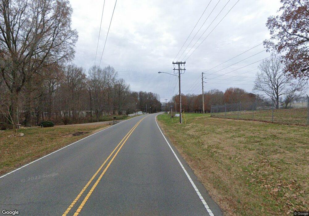
000 John Crotts Rd Mocksville, NC 27028
Estimated Value: $432,000 - $970,772
4
Beds
4
Baths
3,169
Sq Ft
$221/Sq Ft
Est. Value
About This Home
This home is located at 000 John Crotts Rd, Mocksville, NC 27028 and is currently estimated at $701,386, approximately $221 per square foot. 000 John Crotts Rd is a home located in Davie County with nearby schools including Cornatzer Elementary School, William Ellis Middle School, and Davie County High School.
Ownership History
Date
Name
Owned For
Owner Type
Purchase Details
Closed on
Mar 10, 2021
Sold by
Boger Chad M and Boger Brett S
Bought by
Ward David Jason and Ward Crystal Cleary
Current Estimated Value
Purchase Details
Closed on
Oct 25, 2019
Sold by
Draughn Earl and Draughn Carol C
Bought by
Boger Chad and Boger Brett
Purchase Details
Closed on
Nov 1, 1994
Purchase Details
Closed on
Dec 1, 1991
Create a Home Valuation Report for This Property
The Home Valuation Report is an in-depth analysis detailing your home's value as well as a comparison with similar homes in the area
Home Values in the Area
Average Home Value in this Area
Purchase History
| Date | Buyer | Sale Price | Title Company |
|---|---|---|---|
| Ward David Jason | $35,000 | None Available | |
| Boger Chad | $79,500 | -- | |
| -- | -- | -- | |
| -- | -- | -- |
Source: Public Records
Tax History Compared to Growth
Tax History
| Year | Tax Paid | Tax Assessment Tax Assessment Total Assessment is a certain percentage of the fair market value that is determined by local assessors to be the total taxable value of land and additions on the property. | Land | Improvement |
|---|---|---|---|---|
| 2025 | $4,895 | $710,930 | $126,940 | $583,990 |
| 2024 | $4,192 | $542,260 | $63,990 | $478,270 |
| 2023 | $4,192 | $542,260 | $63,990 | $478,270 |
| 2022 | $4,192 | $542,260 | $63,990 | $478,270 |
| 2021 | $3,141 | $406,310 | $96,080 | $310,230 |
| 2020 | $748 | $96,080 | $96,080 | $0 |
| 2019 | $1,752 | $110,530 | $110,530 | $0 |
| 2018 | $860 | $110,530 | $110,530 | $0 |
| 2017 | $849 | $110,530 | $0 | $0 |
| 2016 | $849 | $110,530 | $0 | $0 |
| 2015 | $849 | $110,530 | $0 | $0 |
| 2014 | $730 | $110,530 | $0 | $0 |
| 2013 | -- | $110,530 | $0 | $0 |
Source: Public Records
Map
Nearby Homes
- 158 John Crotts Rd
- 191 Big Laurel Dr
- 107 Big Laurel Dr
- KYLE Plan at Hudson Glen
- BELHAVEN Plan at Hudson Glen
- PENWELL Plan at Hudson Glen
- CALI Plan at Hudson Glen
- HAYDEN Plan at Hudson Glen
- 104 Nickel Plate Dr
- 168 Chessie Rd
- 176 Big Laurel Dr
- 181 Big Laurel Dr
- 220 Mountview Dr
- 109 Marbrook Dr
- 50 Whitney Rd
- 577 John Crotts Rd
- 123 Creekside Dr
- 109 Carriage Cove Cir
- 166 Carriage Cove Cir
- 150 Ariel Ct
- 00 John Crotts Rd
- 108 Nickel Plate Dr
- 121 Big Laurel Dr
- 115 Nickel Plate Dr
- 120 Big Laurel Dr
- 114 Nickel Plate Dr
- 126 Big Laurel Dr
- 124 Nickel Plate Dr
- 268 John Crotts Rd
- 119 Nickel Plate Dr
- 0 John Crotts Rd Unit W417177
- 0 John Crotts Rd Unit W391290
- 0 John Crotts Rd Unit W315025
- 0 John Crotts Rd Unit 516190
- 0 John Crotts Rd Unit 558416
- 0 John Crotts Rd Unit 571378
- 0 John Crotts Rd Unit 676276
- 0 John Crotts Rd Unit 892370
- 110 Chessie St
- 1163 Us Highway 64 E
