000 Mount Misery Rd Unit Littleton NH Tax map Littleton, NH 03561
--
Bed
--
Bath
--
Sq Ft
106
Acres
About This Home
This home is located at 000 Mount Misery Rd Unit Littleton NH Tax map, Littleton, NH 03561. 000 Mount Misery Rd Unit Littleton NH Tax map is a home located in Grafton County with nearby schools including Mildred C. Lakeway School.
Create a Home Valuation Report for This Property
The Home Valuation Report is an in-depth analysis detailing your home's value as well as a comparison with similar homes in the area
Home Values in the Area
Average Home Value in this Area
Tax History Compared to Growth
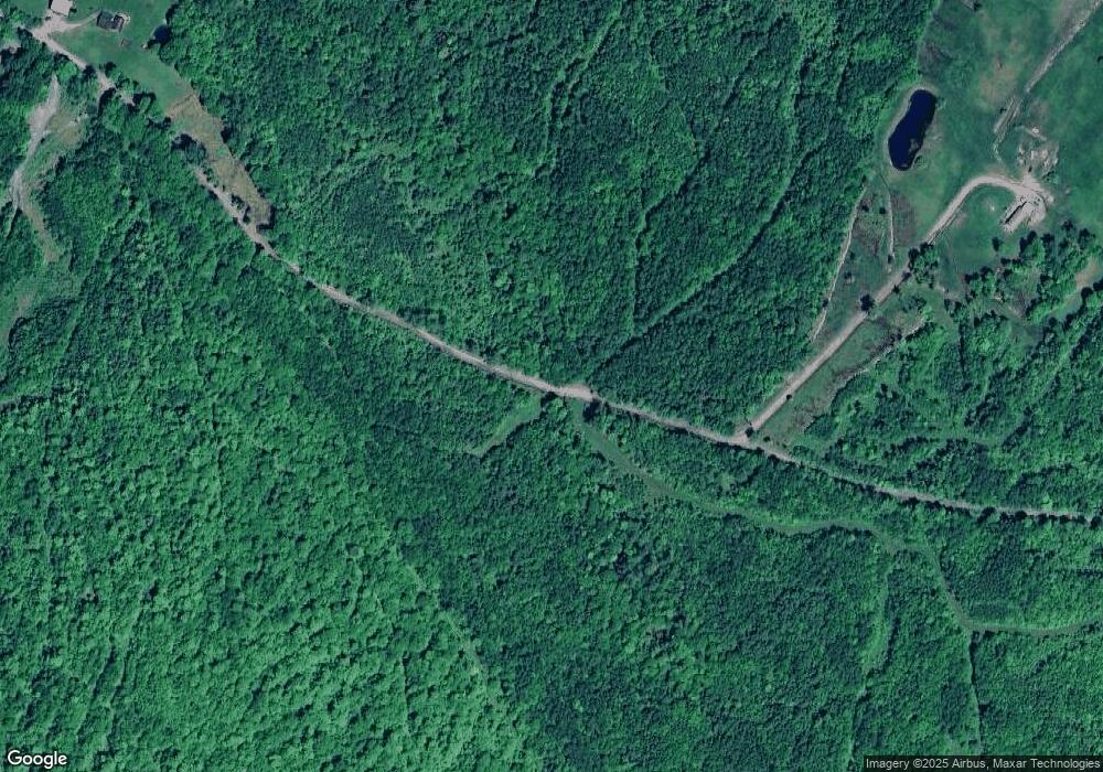
Map
Nearby Homes
- 00 Walker Pit Rd
- 0 Walker Pit Rd
- Lot 10 Landry Rd
- 000 N Littleton Rd Unit 42
- 0 Sugar Wood Ln Unit 8
- 184 Dalton Rd
- 0 Thomas Rd Unit 32.1 5052957
- 10 Duval Rd
- 0 Oregon Rd
- Lot 4 Oregon Rd
- 456 Brickyard Rd
- 00 Oregon Rd
- 3681 Shadow Lake Rd
- 0 Rd Unit 5043035
- 921 Old Waterford Rd
- 0 Old Waterford Rd Unit 28 5059515
- 0 Old Waterford Rd Unit 25534600
- 2157 River Rd
- 295 Old Waterford Rd
- 113 Renfrew Ln
- 000 Mount Misery Rd
- 2741 N Littleton Rd
- 29 Mount Misery Rd
- 36 Mount Misery Rd
- 2825 N Littleton Rd Unit 2827
- 62 Mount Misery Rd
- 258 Mount Misery Rd
- 2875 N Littleton Rd
- 99 Mount Misery Rd
- 2655 N Littleton Rd
- 125 Mount Misery Rd
- 144 Mount Misery Rd
- 2724 N Littleton Rd
- 2610 N Littleton Rd
- 2918 N Littleton Rd
- 2822 N Littleton Rd
- 2936 N Littleton Rd
- 2541 N Littleton Rd
- 2570 N Littleton Rd
- 0 N Littleton Rd Unit 4664047