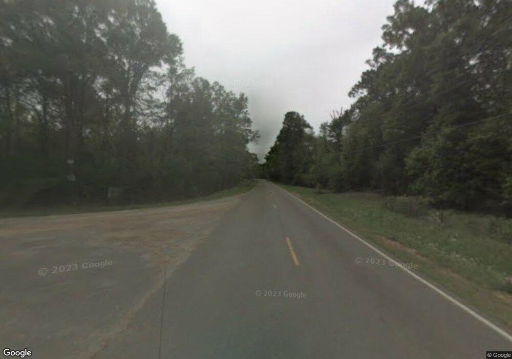
000 Rd S Summit, MS 39666
Estimated Value: $237,000 - $281,000
Studio
--
Bath
--
Sq Ft
132
Acres
About This Home
This home is located at 000 Rd S, Summit, MS 39666 and is currently estimated at $259,000. 000 Rd S is a home located in Pike County with nearby schools including North Pike Elementary School, North Pike Middle School, and North Pike Senior High School.
Ownership History
Date
Name
Owned For
Owner Type
Purchase Details
Closed on
Dec 6, 2023
Sold by
Johnston Brady J and Johnston Perry
Bought by
Tri-County Property Llc
Current Estimated Value
Purchase Details
Closed on
Jun 7, 2023
Sold by
Wells Delcresha and May Cedric P
Bought by
Tri-County Property Llc
Purchase Details
Closed on
Jul 14, 2021
Sold by
Quin Richard Hilary and Quin Clark Jones
Bought by
Tri County Property Llc
Home Financials for this Owner
Home Financials are based on the most recent Mortgage that was taken out on this home.
Original Mortgage
$284,180
Interest Rate
2.93%
Mortgage Type
Commercial
Create a Home Valuation Report for This Property
The Home Valuation Report is an in-depth analysis detailing your home's value as well as a comparison with similar homes in the area
Purchase History
| Date | Buyer | Sale Price | Title Company |
|---|---|---|---|
| Tri-County Property Llc | -- | None Listed On Document | |
| Tri-County Property Llc | -- | None Listed On Document | |
| Tri County Property Llc | -- | None Available |
Source: Public Records
Mortgage History
| Date | Status | Borrower | Loan Amount |
|---|---|---|---|
| Previous Owner | Tri County Property Llc | $284,180 |
Source: Public Records
Tax History
| Year | Tax Paid | Tax Assessment Tax Assessment Total Assessment is a certain percentage of the fair market value that is determined by local assessors to be the total taxable value of land and additions on the property. | Land | Improvement |
|---|---|---|---|---|
| 2025 | $535 | $3,868 | $0 | $0 |
| 2024 | $531 | $3,785 | $0 | $0 |
| 2023 | $539 | $3,925 | $0 | $0 |
| 2022 | $605 | $4,471 | $0 | $0 |
| 2021 | $627 | $4,647 | $0 | $0 |
| 2020 | $654 | $4,833 | $0 | $0 |
| 2019 | $665 | $5,040 | $0 | $0 |
| 2018 | $770 | $5,876 | $0 | $0 |
| 2017 | $726 | $5,662 | $0 | $0 |
| 2016 | $594 | $5,217 | $0 | $0 |
| 2015 | -- | $4,739 | $0 | $0 |
| 2014 | -- | $4,367 | $0 | $0 |
| 2013 | -- | $4,031 | $0 | $0 |
Source: Public Records
Map
Nearby Homes
- 2094 W Topisaw S
- 1073 Hillcrest Farms Ln
- 4190 Mississippi 44
- 1022 Friendship Cir
- 5014 Leatherwood Rd
- 7020 Gibson Rd
- 8001 W Topisaw S
- 0 Gibson Rd and Fortenberry Cir Unit 4128519
- 0 Matthews Rd
- 6045 Mississippi 44
- 6121 Gibson Rd
- 5089 U S 98
- 0 Rolling Oaks Dr
- TBD Carters Creek Rd
- 1028 Chester Reeves Rd
- 1011 Rolling Oaks Dr
- 4134 U S 98
- 1195 Eleanor Dr
- 6004 Gibson Rd
- 1059 Candy Ln
- 1175 Brent Rd
- 1165 Brent Rd
- 1119 Brent Rd
- 1097 Brent Rd
- 1097 Brent Rd
- 1014 Mildred Ln
- 1003 Mars Hill Rd
- 1017 Pittman Rd
- 1069 Brent Rd
- 1041 Mildred Ln
- 1026 Pittman Rd
- 1037 Mars Hill Rd
- 1047 Mildred Ln
- 1024 Mars Hill Rd
- 1019 Mars Hill Rd
- 1157 Brent Rd
- 1034 Pittman Rd
- 1051 Mildred Ln
- 1038 Pittman Rd
- 1040 Brent Rd
Your Personal Tour Guide
Ask me questions while you tour the home.
