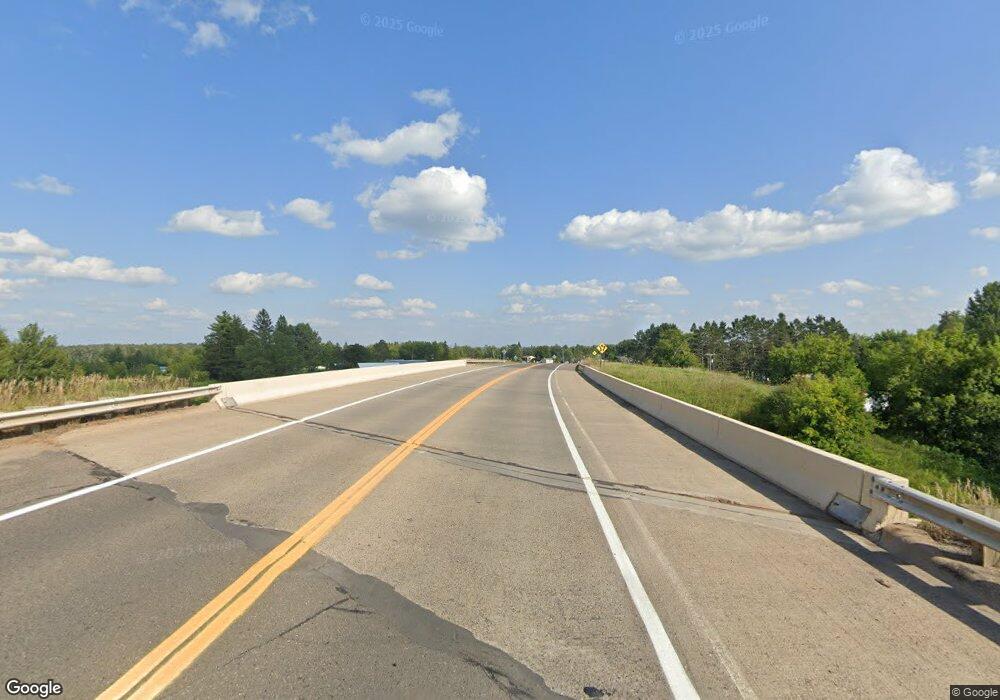
0000 State Highway 65 McGregor, MN 55760
Estimated Value: $188,279 - $276,000
Studio
--
Bath
1,119
Sq Ft
$217/Sq Ft
Est. Value
About This Home
This home is located at 0000 State Highway 65, McGregor, MN 55760 and is currently estimated at $243,093, approximately $217 per square foot. 0000 State Highway 65 is a home located in Aitkin County with nearby schools including McGregor Elementary School, McGregor Secondary School, and Minisinaakwaang Leadership Academy.
Ownership History
Date
Name
Owned For
Owner Type
Purchase Details
Closed on
Sep 15, 2020
Bought by
Ulrich Nicole Nicole
Current Estimated Value
Home Financials for this Owner
Home Financials are based on the most recent Mortgage that was taken out on this home.
Original Mortgage
$74,100
Outstanding Balance
$65,710
Interest Rate
2.86%
Estimated Equity
$177,383
Purchase Details
Closed on
Mar 1, 2005
Bought by
Bodway Phillip and Bodway Maryann
Create a Home Valuation Report for This Property
The Home Valuation Report is an in-depth analysis detailing your home's value as well as a comparison with similar homes in the area
Purchase History
| Date | Buyer | Sale Price | Title Company |
|---|---|---|---|
| Ulrich Nicole Nicole | $78,000 | -- | |
| Bodway Phillip | $30,000 | -- |
Source: Public Records
Mortgage History
| Date | Status | Borrower | Loan Amount |
|---|---|---|---|
| Open | Ulrich Nicole Nicole | $74,100 | |
| Closed | Ulrich Nicole Nicole | -- |
Source: Public Records
Tax History
| Year | Tax Paid | Tax Assessment Tax Assessment Total Assessment is a certain percentage of the fair market value that is determined by local assessors to be the total taxable value of land and additions on the property. | Land | Improvement |
|---|---|---|---|---|
| 2025 | $764 | $172,300 | $52,700 | $119,600 |
| 2024 | $860 | $156,100 | $52,900 | $103,200 |
| 2023 | $782 | $162,000 | $48,600 | $113,400 |
| 2022 | $878 | $141,000 | $42,300 | $98,700 |
| 2021 | $858 | $120,100 | $34,300 | $85,800 |
| 2020 | $1,062 | $115,700 | $34,100 | $81,600 |
| 2019 | $1,082 | $102,700 | $34,100 | $68,600 |
| 2018 | $1,030 | $103,400 | $34,800 | $68,600 |
| 2017 | $876 | $97,600 | $33,500 | $64,100 |
| 2016 | $894 | $93,700 | $29,600 | $64,100 |
| 2014 | $890 | $94,200 | $30,100 | $64,100 |
| 2012 | $8 | $97,100 | $29,100 | $68,000 |
Source: Public Records
Map
Nearby Homes
- 20 S Main St
- 255 N Maddy St
- 16794 Driftwood St
- 41844 255th Ave
- 29706 Kestrel Ave
- 43950 200th Ave
- 41988 251st Place
- 39769 Kestrel Ave
- 14331 395th Ln
- 47011 185th Ave
- 47190
- 40884 Nature Ave
- 184th 184th St
- 47114 188th Ave
- XxXx Fairway View Ln
- 47458 182nd Ave
- 18043 476th Ln
- 48411 196th Place
- 48228 207th Ave
- 47158 156th Place
- 21219 381st Ln
- 21176 380th Ln
- 38159 State Highway 65
- 21150 381st Ln
- 38329 State Highway 65
- XXX 380th Ln
- 37901 State Highway 65
- 21377 380th Ln
- XXXX Hwy 65
- 38366 State Highway 65
- 37846 State Highway 65
- 20626 383rd Ln
- 20617 383rd Ln
- 48442 207th Place
- 37921 207th Place
- 20544 380th St
- xxx 380th St
- xx 383rd Ln
- 38068 205th Place
- 38102 205th Place
Your Personal Tour Guide
Ask me questions while you tour the home.
