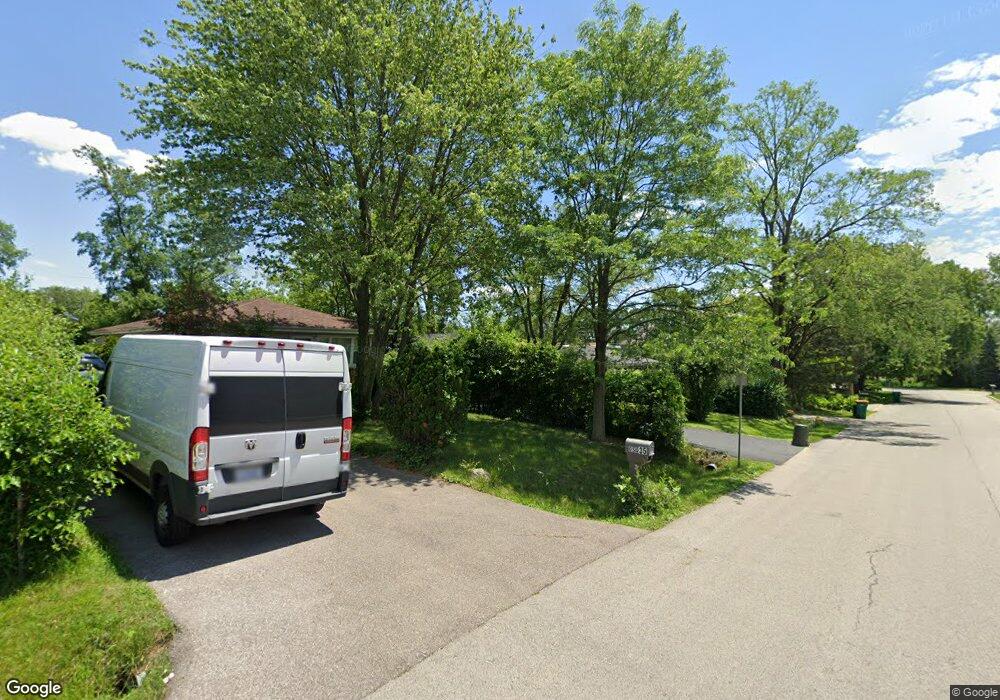
0N092 Robbins St Winfield, IL 60190
Estimated Value: $579,000 - $868,000
3
Beds
2
Baths
1,954
Sq Ft
$364/Sq Ft
Est. Value
About This Home
This home is located at 0N092 Robbins St, Winfield, IL 60190 and is currently estimated at $710,750, approximately $363 per square foot. 0N092 Robbins St is a home located in DuPage County with nearby schools including Winfield Central School, Winfield Primary School, and West Chicago Community High School.
Ownership History
Date
Name
Owned For
Owner Type
Purchase Details
Closed on
Oct 20, 2017
Sold by
Chicago Title Land Trust Co
Bought by
Edwards Steven D and Edwards Marjorie A
Current Estimated Value
Home Financials for this Owner
Home Financials are based on the most recent Mortgage that was taken out on this home.
Original Mortgage
$365,600
Outstanding Balance
$303,726
Interest Rate
3.62%
Mortgage Type
New Conventional
Estimated Equity
$407,024
Purchase Details
Closed on
Jan 12, 2016
Sold by
Chalifoux Edward C and Bustamante Peter
Bought by
Chicago Title Land Trust Company and Trust #6507
Purchase Details
Closed on
Jul 16, 1997
Sold by
Chalifoux Edward C and Chalifoux Geraldine C
Bought by
Geraldine C Chalifoux Trust
Create a Home Valuation Report for This Property
The Home Valuation Report is an in-depth analysis detailing your home's value as well as a comparison with similar homes in the area
Home Values in the Area
Average Home Value in this Area
Purchase History
| Date | Buyer | Sale Price | Title Company |
|---|---|---|---|
| Edwards Steven D | $636,000 | Chicago Title Insurance Comp | |
| Chicago Title Land Trust Company | $55,000 | Chicago Title Land Trust Co | |
| Geraldine C Chalifoux Trust | -- | -- |
Source: Public Records
Mortgage History
| Date | Status | Borrower | Loan Amount |
|---|---|---|---|
| Open | Edwards Steven D | $365,600 |
Source: Public Records
Tax History
| Year | Tax Paid | Tax Assessment Tax Assessment Total Assessment is a certain percentage of the fair market value that is determined by local assessors to be the total taxable value of land and additions on the property. | Land | Improvement |
|---|---|---|---|---|
| 2024 | $15,189 | $218,356 | $44,968 | $173,388 |
| 2023 | $14,495 | $199,430 | $41,070 | $158,360 |
| 2022 | $13,821 | $186,380 | $38,380 | $148,000 |
| 2021 | $12,998 | $178,660 | $36,790 | $141,870 |
| 2020 | $13,161 | $173,230 | $35,670 | $137,560 |
| 2019 | $13,079 | $164,970 | $33,970 | $131,000 |
| 2018 | $12,449 | $154,660 | $32,050 | $122,610 |
| 2017 | $2,624 | $30,450 | $30,450 | $0 |
| 2016 | $2,565 | $28,390 | $28,390 | $0 |
| 2015 | $2,532 | $26,280 | $26,280 | $0 |
| 2014 | $2,475 | $25,030 | $25,030 | $0 |
| 2013 | $2,430 | $25,950 | $25,950 | $0 |
Source: Public Records
Map
Nearby Homes
- 27W073 Jewell Rd
- 0S053 Lee Ct
- 27W180 Cooley Ave
- 27W225 Ash Ct
- 27W119 Cooley Ave
- 26W548 Prairie Ave
- 0N112 Leonard St
- 0N150 Windermere Rd Unit 1306
- 0N204 Windermere Rd Unit 2708
- 27W412 Chartwell Dr
- 27W214 Heather Ln
- 27W439 Chartwell Dr
- 933 Preserve Ct Unit 2003
- 937 Preserve Ct Unit 2001
- 0N082 Forsythe Ct
- 27W347 Washington Ave
- 0N052 Woodland Ct
- 27W210 Providence Ln Unit 1
- 26W237 Parkway Dr
- 0S579 Robbins St
- 0N114 Robbins St
- 0N078 Robbins St
- 0N115 Jefferson St
- 0N126 Robbins St
- 0N079 Jefferson St
- 0N105 Robbins St
- 0N068 Robbins St
- 27W200 Barnes St
- 0N115 Robbins St
- 0N127 Jefferson St
- 0N065 Jefferson St
- 27W231 Bolles Ave
- 0N127 Robbins St
- 0N058 Robbins St
- 27W251 Bolles Ave
- 0N106 Jefferson St
- 0N053 Jefferson St
- 0N120 Jefferson St
- 27W183 Bolles Ave
- 27w Barnes Ave
Your Personal Tour Guide
Ask me questions while you tour the home.