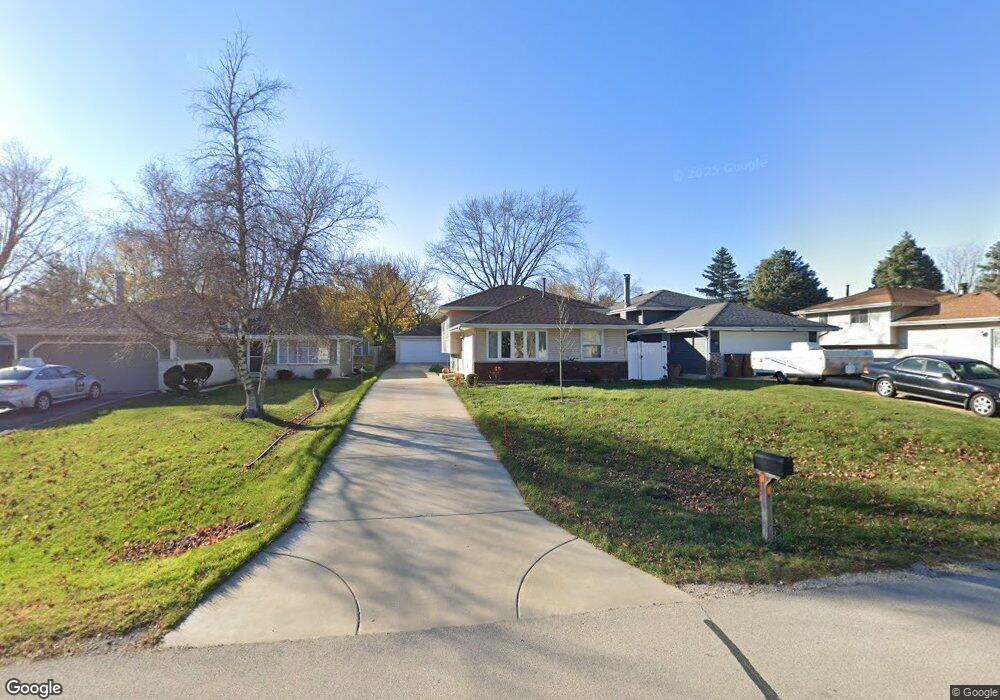
0N120 Beverly St Wheaton, IL 60187
Jewell Road NeighborhoodEstimated Value: $339,466 - $414,000
Studio
1
Bath
1,100
Sq Ft
$343/Sq Ft
Est. Value
About This Home
This home is located at 0N120 Beverly St, Wheaton, IL 60187 and is currently estimated at $377,367, approximately $343 per square foot. 0N120 Beverly St is a home with nearby schools including Carl Sandburg Elementary School, Monroe Middle School, and Wheaton North High School.
Ownership History
Date
Name
Owned For
Owner Type
Purchase Details
Closed on
Jul 17, 1997
Sold by
Yarbrough Sheryl L and Hammond Sheryl L
Bought by
Cubberley James E and Cubberley Karen W
Current Estimated Value
Home Financials for this Owner
Home Financials are based on the most recent Mortgage that was taken out on this home.
Original Mortgage
$106,750
Outstanding Balance
$15,298
Interest Rate
7.5%
Estimated Equity
$362,069
Purchase Details
Closed on
Feb 8, 1994
Sold by
Hammond Kirk F
Bought by
Hammond Sheryl L
Create a Home Valuation Report for This Property
The Home Valuation Report is an in-depth analysis detailing your home's value as well as a comparison with similar homes in the area
Home Values in the Area
Average Home Value in this Area
Purchase History
| Date | Buyer | Sale Price | Title Company |
|---|---|---|---|
| Cubberley James E | $142,000 | -- | |
| Hammond Sheryl L | -- | -- |
Source: Public Records
Mortgage History
| Date | Status | Borrower | Loan Amount |
|---|---|---|---|
| Open | Cubberley James E | $106,750 |
Source: Public Records
Tax History
| Year | Tax Paid | Tax Assessment Tax Assessment Total Assessment is a certain percentage of the fair market value that is determined by local assessors to be the total taxable value of land and additions on the property. | Land | Improvement |
|---|---|---|---|---|
| 2024 | $5,500 | $95,798 | $16,513 | $79,285 |
| 2023 | $5,249 | $88,180 | $15,200 | $72,980 |
| 2022 | $5,156 | $83,330 | $14,360 | $68,970 |
| 2021 | $4,977 | $81,350 | $14,020 | $67,330 |
| 2020 | $4,950 | $80,590 | $13,890 | $66,700 |
| 2019 | $4,820 | $78,460 | $13,520 | $64,940 |
| 2018 | $4,500 | $73,020 | $12,740 | $60,280 |
| 2017 | $4,420 | $70,330 | $12,270 | $58,060 |
| 2016 | $4,352 | $67,520 | $11,780 | $55,740 |
| 2015 | $4,313 | $64,420 | $11,240 | $53,180 |
| 2014 | $4,098 | $60,500 | $10,650 | $49,850 |
| 2013 | $3,972 | $60,680 | $10,680 | $50,000 |
Source: Public Records
Map
Nearby Homes
- n 071 Stanley St
- 0N049 Page St
- 26W548 Prairie Ave
- 26W181 Grand Ave
- 27W073 Jewell Rd
- 107 N Pierce Ave
- 27W145 Cooley Ave
- 27W180 Cooley Ave
- 0N655 Courtney Ln
- 27W225 Ash Ct
- 27W266 Oakwood St
- 0N105 Lot 1 Nepil Ave
- 0N105 Lot 2 Nepil Ave
- 570 Amy Ln
- 27W210 Providence Ln Unit 1
- 833 Parkside Dr
- 1907 Gresham Cir Unit D
- 27W439 Chartwell Dr
- 0S340 Forest St
- 455 W Front St Unit 2208
- 0N126 Beverly St
- 0N114 Beverly St
- 0N108 Beverly St
- 26W151 Prairie Ave
- 0N121 Pleasant Hill Rd
- 26W121 Prairie Ave
- 0N115 Beverly St
- 0N121 Beverly St
- 0N127 Pleasant Hill Rd
- 26W175 Prairie Ave
- 0N125 Beverly St
- 0N082 Beverly St
- 0N115 Pleasant Hill
- 26W152 Prairie Ave
- 0N107 Beverly St
- 0N107 Pleasant Hill Rd
- Lot #1 Prairie Ave
- 0N101 Beverly St
- 26W146 Prairie Ave
- 26W158 Prairie Ave
Your Personal Tour Guide
Ask me questions while you tour the home.