0N460 Schrader Rd Maple Park, IL 60151
Estimated Value: $274,000 - $1,026,000
2
Beds
1
Bath
884
Sq Ft
$713/Sq Ft
Est. Value
About This Home
This home is located at 0N460 Schrader Rd, Maple Park, IL 60151 and is currently estimated at $630,191, approximately $712 per square foot. 0N460 Schrader Rd is a home with nearby schools including Kaneland Blackberry Creek Elementary School, Harter Middle School, and Kaneland High School.
Ownership History
Date
Name
Owned For
Owner Type
Purchase Details
Closed on
Sep 20, 2017
Sold by
First Midwest Bank
Bought by
Giuliano Vincent
Current Estimated Value
Home Financials for this Owner
Home Financials are based on the most recent Mortgage that was taken out on this home.
Original Mortgage
$336,000
Outstanding Balance
$286,747
Interest Rate
4.75%
Mortgage Type
New Conventional
Estimated Equity
$343,444
Purchase Details
Closed on
Oct 1, 2012
Sold by
First Midwest Bank Of Joliet
Bought by
Giuliano Vince
Create a Home Valuation Report for This Property
The Home Valuation Report is an in-depth analysis detailing your home's value as well as a comparison with similar homes in the area
Home Values in the Area
Average Home Value in this Area
Purchase History
| Date | Buyer | Sale Price | Title Company |
|---|---|---|---|
| Giuliano Vincent | $510,000 | Acquest Title Svcs Llc | |
| Giuliano Vince | $510,000 | Greater Illinois Title |
Source: Public Records
Mortgage History
| Date | Status | Borrower | Loan Amount |
|---|---|---|---|
| Open | Giuliano Vincent | $336,000 |
Source: Public Records
Tax History
| Year | Tax Paid | Tax Assessment Tax Assessment Total Assessment is a certain percentage of the fair market value that is determined by local assessors to be the total taxable value of land and additions on the property. | Land | Improvement |
|---|---|---|---|---|
| 2024 | $5,221 | $73,101 | $29,339 | $43,762 |
| 2023 | $5,198 | $68,480 | $27,239 | $41,241 |
| 2022 | $5,058 | $63,306 | $24,919 | $38,387 |
| 2021 | $4,906 | $60,821 | $23,747 | $37,074 |
| 2020 | $4,781 | $58,827 | $22,793 | $36,034 |
| 2019 | $4,686 | $56,636 | $21,766 | $34,870 |
| 2018 | $4,410 | $52,190 | $19,796 | $32,394 |
| 2017 | $4,721 | $48,287 | $18,065 | $30,222 |
| 2016 | $4,490 | $44,556 | $16,413 | $28,143 |
| 2015 | -- | $41,996 | $15,262 | $26,734 |
| 2014 | -- | $41,912 | $15,178 | $26,734 |
| 2013 | -- | $44,538 | $16,251 | $28,287 |
Source: Public Records
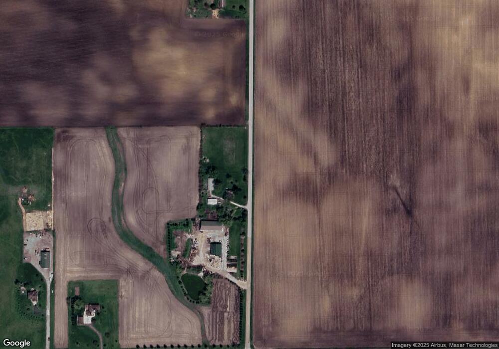
Map
Nearby Homes
- 48W201 Keslinger Rd
- 688 S Elizabeth St Unit 688
- 429 E Dekalb Dr
- 328 W Chester Dr
- 247 W Dekalb Dr
- 646 W Ashton Dr
- 756 W Ashton Dr
- 752 W Ashton Dr
- 754 W Ashton Dr
- 205 Center St
- 000 Winters Rd
- 49W615 Lasher Rd
- 0 Winters Rd
- 5N487 County Line Rd
- 00 Welter Rd
- 538 Preston St
- 520 Preston St
- 15534 Somonauk Rd
- 507 Preston St
- 505 Preston St
- 0N450 Schrader Rd
- 0N531 Schrader Rd
- 50W261 Harter Rd
- 49W739 Keslinger Rd
- 50W150 Keslinger Rd
- 50W254 Keslinger Rd
- 49W484 Harter Rd
- 50W704 Harter Rd
- 1n100 Schrader Rd
- 0S086 Harter Rd
- 805 S County Line Rd
- 50W450 Keslinger Rd
- 1100 E County Line Rd
- 1N180 Schrader Rd
- 50w Harter Rd
- 16197 E County Line Rd
- 50W729 Harter Rd
- 17975 Harter Rd
- 17947 Harter Rd
- Lot 9 Harter Rd
Your Personal Tour Guide
Ask me questions while you tour the home.