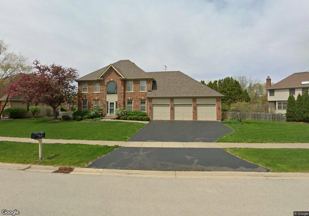
0N735 Marion Ave Wheaton, IL 60187
Northside-Wheaton NeighborhoodEstimated Value: $554,000 - $884,000
Studio
1
Bath
3,008
Sq Ft
$248/Sq Ft
Est. Value
About This Home
This home is located at 0N735 Marion Ave, Wheaton, IL 60187 and is currently estimated at $744,718, approximately $247 per square foot. 0N735 Marion Ave is a home with nearby schools including Carl Sandburg Elementary School, Monroe Middle School, and Wheaton North High School.
Ownership History
Date
Name
Owned For
Owner Type
Purchase Details
Closed on
Sep 26, 2016
Sold by
Beshire William R and Sommer Katherine E
Bought by
Beshire William R and The William R Beshire Revocable Trust
Current Estimated Value
Purchase Details
Closed on
May 17, 1996
Sold by
American National Bk & Tr Co Of Chicago
Bought by
Beshire William R and Sommer Katherine E
Create a Home Valuation Report for This Property
The Home Valuation Report is an in-depth analysis detailing your home's value as well as a comparison with similar homes in the area
Home Values in the Area
Average Home Value in this Area
Purchase History
| Date | Buyer | Sale Price | Title Company |
|---|---|---|---|
| Beshire William R | -- | Attorney | |
| Beshire William R | $380,000 | -- |
Source: Public Records
Tax History
| Year | Tax Paid | Tax Assessment Tax Assessment Total Assessment is a certain percentage of the fair market value that is determined by local assessors to be the total taxable value of land and additions on the property. | Land | Improvement |
|---|---|---|---|---|
| 2024 | $14,161 | $233,913 | $51,756 | $182,157 |
| 2023 | $13,578 | $215,310 | $47,640 | $167,670 |
| 2022 | $13,173 | $203,480 | $45,020 | $158,460 |
| 2021 | $12,730 | $198,650 | $43,950 | $154,700 |
| 2020 | $12,667 | $196,800 | $43,540 | $153,260 |
| 2019 | $12,351 | $191,610 | $42,390 | $149,220 |
| 2018 | $13,090 | $200,910 | $39,950 | $160,960 |
| 2017 | $12,886 | $193,500 | $38,480 | $155,020 |
| 2016 | $12,715 | $185,770 | $36,940 | $148,830 |
| 2015 | $12,640 | $177,230 | $35,240 | $141,990 |
| 2014 | $11,911 | $164,360 | $34,670 | $129,690 |
| 2013 | $11,546 | $164,850 | $34,770 | $130,080 |
Source: Public Records
Map
Nearby Homes
- 26W181 Grand Ave
- 570 Amy Ln
- 0 Ellis Ave
- 0N655 Courtney Ln
- 25W275 Doris Ave
- Lot 11 Ellis Ave
- 2018 N West St
- 1N248 Darling St
- 0N049 Page St
- 27W130 W Street Charles Rd
- 27W214 Heather Ln
- 27W210 Providence Ln Unit 1
- 26W548 Prairie Ave
- 27W300 Melrose Ln
- 27W073 Jewell Rd
- 114 W Prairie Ave
- 27W439 Chartwell Dr
- 1426 Preserve Dr Unit 30
- 1035 Quarry Ct Unit 9
- 1115 N Main St
- 0N725 Marion Ave
- 0N745 Marion Ave
- 0N730 Coventry Dr
- 25W770 Quail Run Dr
- 0N711 Marion Ave
- 0N755 Chickory Ct
- 0N718 Coventry Dr
- 25W776 Deerpoint Dr
- 25W780 Quail Run Dr
- 0N701 Marion Ave
- 0N795 Chickory Ct
- 0N765 Chickory Ct
- N701 Marion Ave
- ON751 Coventry Dr
- 25W780 Deerpoint Dr
- 0N700 Coventry Dr
- 0N775 Chickory Ct
- 0N785 Chickory Ct
- 0N681 Marion Ave
- 25W790 Quail Run Dr
Your Personal Tour Guide
Ask me questions while you tour the home.