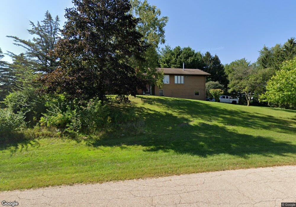
0S097 Rowe Rd Elburn, IL 60119
Estimated Value: $432,000 - $516,000
3
Beds
2
Baths
1,540
Sq Ft
$309/Sq Ft
Est. Value
About This Home
This home is located at 0S097 Rowe Rd, Elburn, IL 60119 and is currently estimated at $475,323, approximately $308 per square foot. 0S097 Rowe Rd is a home located in Kane County with nearby schools including Kaneland Blackberry Creek Elementary School, Harter Middle School, and Kaneland High School.
Ownership History
Date
Name
Owned For
Owner Type
Purchase Details
Closed on
Jun 16, 2003
Sold by
Zamlynski Phillip and Zamlynski Marian M
Bought by
Glazier Larry D and Evans Gwendolyn L
Current Estimated Value
Home Financials for this Owner
Home Financials are based on the most recent Mortgage that was taken out on this home.
Original Mortgage
$150,000
Outstanding Balance
$63,414
Interest Rate
5.3%
Mortgage Type
Unknown
Estimated Equity
$411,909
Create a Home Valuation Report for This Property
The Home Valuation Report is an in-depth analysis detailing your home's value as well as a comparison with similar homes in the area
Home Values in the Area
Average Home Value in this Area
Purchase History
| Date | Buyer | Sale Price | Title Company |
|---|---|---|---|
| Glazier Larry D | $345,000 | First American Title |
Source: Public Records
Mortgage History
| Date | Status | Borrower | Loan Amount |
|---|---|---|---|
| Open | Glazier Larry D | $150,000 |
Source: Public Records
Tax History
| Year | Tax Paid | Tax Assessment Tax Assessment Total Assessment is a certain percentage of the fair market value that is determined by local assessors to be the total taxable value of land and additions on the property. | Land | Improvement |
|---|---|---|---|---|
| 2024 | $8,718 | $124,667 | $25,790 | $98,877 |
| 2023 | $8,333 | $112,515 | $23,276 | $89,239 |
| 2022 | $7,789 | $98,427 | $21,362 | $77,065 |
| 2021 | $7,968 | $94,207 | $20,446 | $73,761 |
| 2020 | $7,833 | $91,999 | $19,967 | $72,032 |
| 2019 | $7,848 | $90,648 | $19,674 | $70,974 |
| 2018 | $7,387 | $84,041 | $19,674 | $64,367 |
| 2017 | $7,396 | $83,085 | $19,450 | $63,635 |
| 2016 | $7,076 | $77,584 | $20,574 | $57,010 |
| 2015 | -- | $74,484 | $19,771 | $54,713 |
| 2014 | -- | $85,155 | $22,000 | $63,155 |
| 2013 | -- | $85,155 | $22,000 | $63,155 |
Source: Public Records
Map
Nearby Homes
- 765 Carolyn Ct
- 0S790 Rowe Rd
- Lot 9 Rowe Rd
- 1557 Melbourne St
- 16 Derek Dr
- Lot #11 Derek Dr
- Lot #12 Derek Dr
- Lot #5 Derek Dr
- Lot #6 Derek Dr
- Lot #4 Derek Dr
- Lot #7 Derek Dr
- 931 Patriot Pkwy
- 1171 Souders Ave
- 1029 Wise St
- 00 Rt 38 Rd
- 1383 Dodson Ave
- 1155 Corrigan St
- 0S955 Thorndon Ridge Dr Unit 2
- 815 Kindberg Ct
- 1038 Veteran Ave
- 0S123 Rowe Rd
- 0S090 Rowe Rd
- 43W575 Kenmar Dr
- 43W675 Kenmar Dr
- 0S131 Rowe Rd
- 43W561 Kenmar Dr
- 43W542 Kenmar Dr
- 143 Rowe Rd
- 0s030 Rowe Rd
- 0 Rowe Rd
- 0S025 Rowe Rd
- 7 Rowe Rd
- 43W547 Kenmar Ct
- 43W580 Kenmar Dr
- 43W674 Kenmar Dr
- 43W723 Kenmar Dr
- LOT 90 Kenmar Dr
- 43W554 Kenmar Dr
- 0S185 Rowe Rd
- 43W502 Kenmar Ct
Your Personal Tour Guide
Ask me questions while you tour the home.