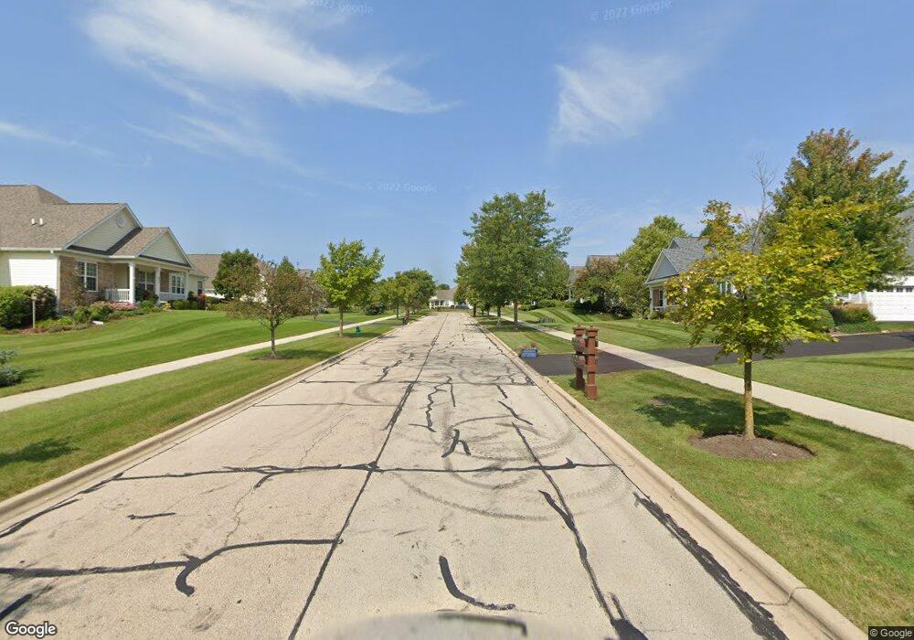
0S520 Skyline Dr Batavia, IL 60510
Clover Hills NeighborhoodEstimated Value: $445,298 - $559,000
3
Beds
1
Bath
1,344
Sq Ft
$372/Sq Ft
Est. Value
About This Home
This home is located at 0S520 Skyline Dr, Batavia, IL 60510 and is currently estimated at $499,575, approximately $371 per square foot. 0S520 Skyline Dr is a home with nearby schools including Grace McWayne Elementary School, Sam Rotolo Middle School, and Batavia Sr High School.
Ownership History
Date
Name
Owned For
Owner Type
Purchase Details
Closed on
Jan 7, 2003
Sold by
Lien Robert L and Lien Janet A
Bought by
Ketelsen David M and Ketelsen Mary E
Current Estimated Value
Home Financials for this Owner
Home Financials are based on the most recent Mortgage that was taken out on this home.
Original Mortgage
$214,000
Outstanding Balance
$87,623
Interest Rate
6.23%
Estimated Equity
$411,952
Create a Home Valuation Report for This Property
The Home Valuation Report is an in-depth analysis detailing your home's value as well as a comparison with similar homes in the area
Home Values in the Area
Average Home Value in this Area
Purchase History
We collect this data history from publicly available records. To have your information removed, we recommend requesting removal directly through your county’s website.
| Date | Buyer | Sale Price | Title Company |
|---|---|---|---|
| Ketelsen David M | $267,500 | Multiple |
Source: Public Records
Mortgage History
We collect this data history from publicly available records. To have your information removed, we recommend requesting removal directly through your county’s website.
| Date | Status | Borrower | Loan Amount |
|---|---|---|---|
| Open | Ketelsen David M | $214,000 |
Source: Public Records
Tax History
| Year | Tax Paid | Tax Assessment Tax Assessment Total Assessment is a certain percentage of the fair market value that is determined by local assessors to be the total taxable value of land and additions on the property. | Land | Improvement |
|---|---|---|---|---|
| 2024 | $9,062 | $132,552 | $54,288 | $78,264 |
| 2023 | $9,006 | $120,502 | $49,353 | $71,149 |
| 2022 | $8,642 | $111,970 | $45,859 | $66,111 |
| 2021 | $8,421 | $107,809 | $44,155 | $63,654 |
| 2020 | $8,244 | $106,163 | $43,481 | $62,682 |
| 2019 | $8,279 | $104,153 | $42,658 | $61,495 |
| 2018 | $7,413 | $93,783 | $42,658 | $51,125 |
| 2017 | $7,286 | $91,282 | $41,520 | $49,762 |
| 2016 | $6,890 | $85,829 | $36,740 | $49,089 |
| 2015 | -- | $81,602 | $34,931 | $46,671 |
| 2014 | -- | $81,605 | $34,931 | $46,674 |
| 2013 | -- | $81,605 | $34,931 | $46,674 |
Source: Public Records
Map
Nearby Homes
- 417 Freedlund Course
- 433 Freedlund Course
- 449 Freedlund Course
- 510 Thorne St
- 497 Darin Ct
- 0S885 Spring Green Way
- 234 Olmstead Ct
- 2725 Miller Rd
- 23 Marsh Ln
- 30 Monterey Dr
- 347 Mill St Unit 5347A
- 337 Mill St Unit 337A
- 38W931 Mcnair Dr
- 474 Mill St Unit 1
- 440 Mill St
- 2040 Arrowhead Ct
- 1567 Haines Dr
- Unit 8A Prairie Grove Dr
- Unit 6A Prairie Grove Dr
- Unit 4B Prairie Grove Dr
- 0S558 Skyline Dr
- 0S519 Skyline Dr
- 2672 Hansford Ave
- S557 Skyline Dr
- 2660 Hansford Ave
- 2710 Andrews Ave
- 2702 Andrews Ave
- 37W802 Pine Needles Ct
- 2718 Andrews Ave
- s 557 Skyline Dr
- 772 Skyline Dr
- 0S581 Skyline Dr
- 2726 Andrews Ave
- 2652 Hansford Ave
- 0S600 Skyline Dr
- 2802 Kauth Ln
- 2734 Andrews Ave
- 784 Skyline Dr
- 2655 Hansford Ave
- 2742 Andrews Ave
Your Personal Tour Guide
Ask me questions while you tour the home.