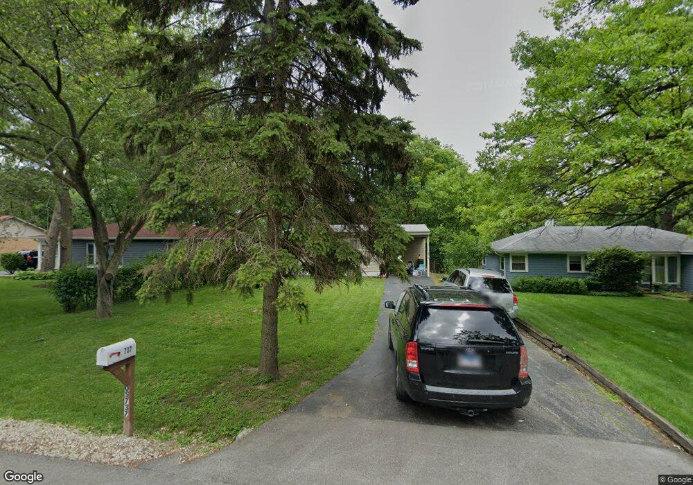
0S737 Forest St Winfield, IL 60190
Estimated Value: $284,000 - $380,000
3
Beds
2
Baths
1,100
Sq Ft
$308/Sq Ft
Est. Value
About This Home
This home is located at 0S737 Forest St, Winfield, IL 60190 and is currently estimated at $338,579, approximately $307 per square foot. 0S737 Forest St is a home located in DuPage County with nearby schools including Winfield Central School, Winfield Primary School, and West Chicago Community High School.
Ownership History
Date
Name
Owned For
Owner Type
Purchase Details
Closed on
Oct 21, 1996
Sold by
Frothingham Charles W
Bought by
Osslund Corrine and Sanchez Deborah A
Current Estimated Value
Home Financials for this Owner
Home Financials are based on the most recent Mortgage that was taken out on this home.
Original Mortgage
$115,798
Outstanding Balance
$10,793
Interest Rate
8.26%
Mortgage Type
FHA
Estimated Equity
$327,786
Create a Home Valuation Report for This Property
The Home Valuation Report is an in-depth analysis detailing your home's value as well as a comparison with similar homes in the area
Home Values in the Area
Average Home Value in this Area
Purchase History
| Date | Buyer | Sale Price | Title Company |
|---|---|---|---|
| Osslund Corrine | $118,000 | -- |
Source: Public Records
Mortgage History
| Date | Status | Borrower | Loan Amount |
|---|---|---|---|
| Open | Osslund Corrine | $115,798 |
Source: Public Records
Tax History Compared to Growth
Tax History
| Year | Tax Paid | Tax Assessment Tax Assessment Total Assessment is a certain percentage of the fair market value that is determined by local assessors to be the total taxable value of land and additions on the property. | Land | Improvement |
|---|---|---|---|---|
| 2024 | $3,855 | $94,523 | $34,347 | $60,176 |
| 2023 | $4,059 | $86,330 | $31,370 | $54,960 |
| 2022 | $5,490 | $80,670 | $29,310 | $51,360 |
| 2021 | $4,369 | $77,330 | $28,100 | $49,230 |
| 2020 | $4,436 | $74,990 | $27,250 | $47,740 |
| 2019 | $4,637 | $71,410 | $25,950 | $45,460 |
| 2018 | $5,138 | $67,360 | $24,480 | $42,880 |
| 2017 | $4,998 | $64,000 | $23,260 | $40,740 |
| 2016 | $4,849 | $59,680 | $21,690 | $37,990 |
| 2015 | $4,745 | $55,250 | $20,080 | $35,170 |
| 2014 | $4,788 | $54,430 | $19,120 | $35,310 |
| 2013 | $4,722 | $56,420 | $19,820 | $36,600 |
Source: Public Records
Map
Nearby Homes
- 27W327 Williams St
- 0S650 Forest St
- 27W0S Roosevelt Rd
- Lot 17,18,19 Roosevelt Rd
- 0S760 Cleveland St
- 27W120 Williams St
- 0S732 Myrtle St
- 1s050 Shaffner Rd
- 27W423 Sunnyside Ave
- 3 Sunnyside Ave
- 27W020 Walz Way
- 2152 Belleau Woods Dr
- 1S710 Shaffner Rd
- 1S728 Shaffner Rd
- 1S221 N Flanders Ln
- 27W180 Cooley Ave
- 0S044 Lee Ct
- 1310 Yorkshire Woods Ct
- 1440 Stonebridge Cir Unit J10
- 1477 S County Farm Rd Unit 23F
- 0S741 Forest St
- 0S731 Forest St
- 0S721 Forest St
- 0S753 Forest St
- 0S730 Madison St
- 0S765 Forest St
- 0S742 Madison St
- 0S742 Forest St
- 0S758 Madison St
- 0S709 Forest St
- 0S720 Madison St
- 0S708 Forest St
- 0S758 Forest St
- S706 Madison St
- 0S681 Forest St
- 27W332 Roosevelt Rd
- 0S777 Forest St
- 27W328 Roosevelt Rd
- 0S684 Forest St
- 0S772 Forest St