1&1A Englewood Dr Raymond, NH 03077
Estimated Value: $627,275 - $711,000
5
Beds
5
Baths
4,622
Sq Ft
$143/Sq Ft
Est. Value
About This Home
This home is located at 1&1A Englewood Dr, Raymond, NH 03077 and is currently estimated at $663,069, approximately $143 per square foot. 1&1A Englewood Dr is a home located in Rockingham County with nearby schools including Lamprey River Elementary School, Iber Holmes Gove Middle School, and Raymond High School.
Ownership History
Date
Name
Owned For
Owner Type
Purchase Details
Closed on
Jun 2, 2017
Sold by
Young Colleen
Bought by
Kiah Jeremy B
Current Estimated Value
Home Financials for this Owner
Home Financials are based on the most recent Mortgage that was taken out on this home.
Original Mortgage
$263,500
Outstanding Balance
$218,876
Interest Rate
3.97%
Mortgage Type
Unknown
Estimated Equity
$444,193
Purchase Details
Closed on
May 24, 2007
Sold by
Scuffy Nelson T
Bought by
Young Brian
Home Financials for this Owner
Home Financials are based on the most recent Mortgage that was taken out on this home.
Original Mortgage
$370,500
Interest Rate
6.27%
Create a Home Valuation Report for This Property
The Home Valuation Report is an in-depth analysis detailing your home's value as well as a comparison with similar homes in the area
Home Values in the Area
Average Home Value in this Area
Purchase History
| Date | Buyer | Sale Price | Title Company |
|---|---|---|---|
| Kiah Jeremy B | $310,000 | -- | |
| Young Brian | $390,000 | -- |
Source: Public Records
Mortgage History
| Date | Status | Borrower | Loan Amount |
|---|---|---|---|
| Open | Kiah Jeremy B | $263,500 | |
| Previous Owner | Young Brian | $370,500 |
Source: Public Records
Tax History Compared to Growth
Tax History
| Year | Tax Paid | Tax Assessment Tax Assessment Total Assessment is a certain percentage of the fair market value that is determined by local assessors to be the total taxable value of land and additions on the property. | Land | Improvement |
|---|---|---|---|---|
| 2024 | $10,385 | $474,000 | $108,900 | $365,100 |
| 2023 | $9,821 | $474,000 | $108,900 | $365,100 |
| 2022 | $8,669 | $474,000 | $108,900 | $365,100 |
| 2021 | $8,774 | $474,000 | $108,900 | $365,100 |
| 2020 | $8,997 | $343,400 | $78,400 | $265,000 |
| 2019 | $9,131 | $343,400 | $78,400 | $265,000 |
| 2018 | $9,049 | $343,400 | $78,400 | $265,000 |
| 2017 | $8,310 | $343,400 | $78,400 | $265,000 |
| 2016 | $8,152 | $343,400 | $78,400 | $265,000 |
| 2015 | $8,342 | $332,600 | $78,400 | $254,200 |
| 2014 | $8,092 | $332,600 | $78,400 | $254,200 |
| 2013 | $7,863 | $332,600 | $78,400 | $254,200 |
Source: Public Records
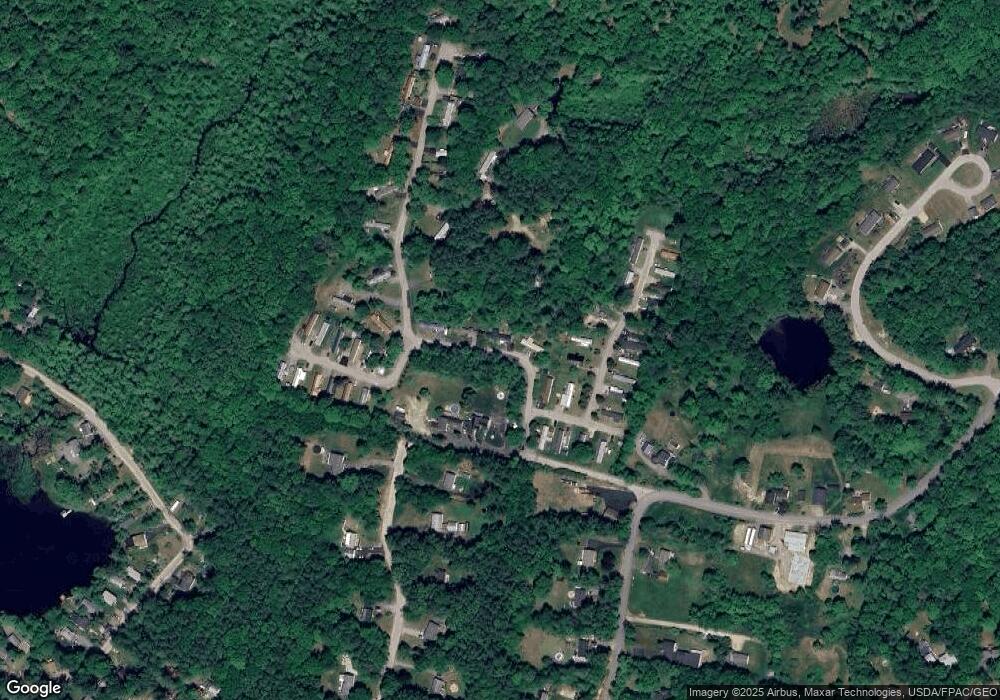
Map
Nearby Homes
- 6 Knights Ct
- 19 Parker Ave
- 84 W Shore Dr
- 29 Blaisdell's Trail
- 6 Blaisdell's Trail
- 1 Blaisdell's Trail
- 17 Blaisdell's Trail
- 11 Blaisdell's Trail
- 31 Blaisdell's Trail Unit 37-18
- 9 Abbey Rd
- 12 Meindl Rd Unit 2
- 29 Harriman Rd
- 209 New Hampshire 27
- 47 Long Hill Rd
- 5 Ham Rd
- 17 Pawtuckaway Rd Unit Lot 17A
- 1 Pawtuckaway Rd Unit lot 1
- 13 Pawtuckaway Rd Unit Lot 13
- 5 Pawtuckaway Rd Unit Lot 5
- 16 Pawtuckaway Rd Unit lot 16
- 1 Englewood Dr
- 1 & 1a Englewood Dr
- 1 & 1 A Englewood
- 15 Walnut Hill Dr
- 1 Parker Ave
- 3 Parker Ave
- 9 Englewood Dr
- 11 Walnut Hill Dr
- 2 Knights Ct
- 80 Harriman Hill Rd
- 12 Parker Ave
- 5 Knights Ct
- 9 Walnut Hill Dr
- 14 Walnut Hill Dr
- 78 Harriman Hill Rd
- 8 Knights Ct
- 9 Knights Ct
- 12 Walnut Hill Dr
- 10 Knights Ct
- 84 Harriman Hill Rd