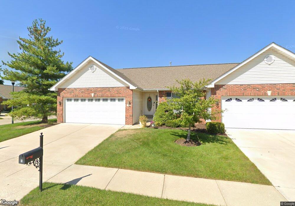
1 Arborgate Dr Saint Peters, MO 63376
Estimated Value: $311,402 - $328,000
2
Beds
2
Baths
1,496
Sq Ft
$215/Sq Ft
Est. Value
About This Home
This home is located at 1 Arborgate Dr, Saint Peters, MO 63376 and is currently estimated at $321,601, approximately $214 per square foot. 1 Arborgate Dr is a home located in St. Charles County with nearby schools including Progress South Elementary School, Fort Zumwalt South Middle School, and Fort Zumwalt South High School.
Ownership History
Date
Name
Owned For
Owner Type
Purchase Details
Closed on
Dec 4, 2006
Sold by
Sandstedt Carl R
Bought by
Sandstedt Carl R and The Carl R Sandstedt Revocable
Current Estimated Value
Purchase Details
Closed on
Aug 30, 2004
Sold by
T R Hughes Inc
Bought by
Sandstedt Carl R
Home Financials for this Owner
Home Financials are based on the most recent Mortgage that was taken out on this home.
Original Mortgage
$150,200
Outstanding Balance
$74,015
Interest Rate
5.8%
Mortgage Type
Purchase Money Mortgage
Estimated Equity
$247,586
Create a Home Valuation Report for This Property
The Home Valuation Report is an in-depth analysis detailing your home's value as well as a comparison with similar homes in the area
Home Values in the Area
Average Home Value in this Area
Purchase History
| Date | Buyer | Sale Price | Title Company |
|---|---|---|---|
| Sandstedt Carl R | -- | None Available | |
| Sandstedt Carl R | -- | Multiple | |
| Tr Hughes Inc | -- | Multiple |
Source: Public Records
Mortgage History
| Date | Status | Borrower | Loan Amount |
|---|---|---|---|
| Open | Sandstedt Carl R | $150,200 |
Source: Public Records
Tax History Compared to Growth
Tax History
| Year | Tax Paid | Tax Assessment Tax Assessment Total Assessment is a certain percentage of the fair market value that is determined by local assessors to be the total taxable value of land and additions on the property. | Land | Improvement |
|---|---|---|---|---|
| 2025 | $3,471 | $57,882 | -- | -- |
| 2023 | $3,573 | $53,934 | $0 | $0 |
| 2022 | $3,166 | $44,427 | $0 | $0 |
| 2021 | $3,169 | $44,427 | $0 | $0 |
| 2020 | $2,911 | $39,530 | $0 | $0 |
| 2019 | $2,917 | $39,530 | $0 | $0 |
| 2018 | $2,600 | $33,603 | $0 | $0 |
| 2017 | $2,563 | $33,603 | $0 | $0 |
| 2016 | $2,461 | $32,137 | $0 | $0 |
| 2015 | $2,288 | $32,137 | $0 | $0 |
| 2014 | $2,281 | $31,515 | $0 | $0 |
Source: Public Records
Map
Nearby Homes
- 5 Arborgate Dr Unit 69A
- 211 Butternut Stage Dr
- 31 Lace Bark Ct
- 32 Gulf Shores Dr
- 7 Park City Ct
- 307 Santa Fe Trail Dr
- 113 Stage Coach Landing Dr
- 367 Shamrock St
- 361 Shamrock St
- 146 Huntington Crossing Dr
- 1814 Springhill Dr
- 1910 Pebble Brook Dr
- 1 Pauley Cir
- 212 Jacobs Way
- 225 Jacobs Way
- 300 Mill Pond Dr
- 217 Roaring River Dr
- 332 Fallon Pkwy
- 2612 Breezy Point Ln
- 6 Royallglen Ct
- 3 Arborgate Dr
- 202 Fairgate Dr
- 5 Arborgate Dr
- 205 Fairgate Dr
- 200 Fairgate Dr
- 212 Fairgate Dr
- 209 Fairgate Dr
- 7 Arborgate Dr
- 207 Fairgate Dr
- 203 Fairgate Dr
- 201 Fairgate Dr
- 214 Fairgate Dr
- 6 Arborgate Dr
- 198 Fairgate Dr
- 198 Fairgate Dr Unit 72B
- 213 Fairgate Dr
- 9 Arborgate Dr
- 8 Arborgate Dr
- 8 Arborgate Dr Unit 66
- 216 Fairgate Dr