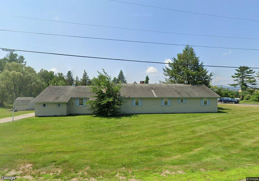
1 Barnard Ridge Rd Meredith, NH 03253
Estimated Value: $456,923 - $618,000
4
Beds
2
Baths
1,670
Sq Ft
$324/Sq Ft
Est. Value
About This Home
This home is located at 1 Barnard Ridge Rd, Meredith, NH 03253 and is currently estimated at $540,981, approximately $323 per square foot. 1 Barnard Ridge Rd is a home located in Belknap County with nearby schools including Inter-Lakes Elementary School and Immaculate Conception Apostolic School.
Ownership History
Date
Name
Owned For
Owner Type
Purchase Details
Closed on
Jul 28, 2006
Sold by
Slingsby Patricia A
Bought by
Galietta Alfred E and Galietta Lynn M
Current Estimated Value
Home Financials for this Owner
Home Financials are based on the most recent Mortgage that was taken out on this home.
Original Mortgage
$129,500
Outstanding Balance
$44,715
Interest Rate
6.67%
Mortgage Type
Purchase Money Mortgage
Estimated Equity
$496,266
Create a Home Valuation Report for This Property
The Home Valuation Report is an in-depth analysis detailing your home's value as well as a comparison with similar homes in the area
Home Values in the Area
Average Home Value in this Area
Purchase History
| Date | Buyer | Sale Price | Title Company |
|---|---|---|---|
| Galietta Alfred E | $237,000 | -- |
Source: Public Records
Mortgage History
| Date | Status | Borrower | Loan Amount |
|---|---|---|---|
| Open | Galietta Alfred E | $129,500 |
Source: Public Records
Tax History Compared to Growth
Tax History
| Year | Tax Paid | Tax Assessment Tax Assessment Total Assessment is a certain percentage of the fair market value that is determined by local assessors to be the total taxable value of land and additions on the property. | Land | Improvement |
|---|---|---|---|---|
| 2024 | $3,309 | $322,500 | $105,700 | $216,800 |
| 2023 | $3,190 | $322,500 | $105,700 | $216,800 |
| 2022 | $3,370 | $241,200 | $74,700 | $166,500 |
| 2021 | $3,239 | $241,200 | $74,700 | $166,500 |
| 2020 | $3,382 | $241,200 | $74,700 | $166,500 |
| 2019 | $3,232 | $203,400 | $54,900 | $148,500 |
| 2018 | $3,177 | $203,400 | $54,900 | $148,500 |
| 2016 | $2,961 | $189,900 | $53,400 | $136,500 |
| 2015 | $2,914 | $191,700 | $53,400 | $138,300 |
| 2014 | $2,843 | $191,700 | $53,400 | $138,300 |
| 2013 | $2,762 | $191,700 | $53,400 | $138,300 |
Source: Public Records
Map
Nearby Homes
- 111 Nh Route 25
- 142 Nh Route 25
- 20 True Rd Unit 85
- 20 True Rd Unit 101
- 20 True Rd Unit 63
- 7 Mudgett Ave
- 36 Circle Dr
- 8 Kelly Ln
- 21 Pleasant St
- 32 Boynton Rd
- 99 Pleasant St
- 11 Highland St
- 15 Highland St
- 12 Highland St
- 11 & 12 Highland St
- 8 Water St Unit 2
- 00 Gilman Hill Rd Unit 1
- 4 Pike Island Rd
- 26 Sawmill Shores Rd
- 70 Pinnacle Park Rd
- 127 Nh Route 25
- 127 Route 25
- 127 Nh Route 25
- 7 Barnard Ridge Rd
- 133 Nh Route 25
- 11 Barnard Ridge Rd
- 121 Nh Route 25 Unit 2
- 121 Nh Route 25 Unit 6
- 121 Nh Route 25 Unit 5
- 121 Nh Route 25 Unit 3
- 121 Nh Route 25 Unit 4
- 121 Nh Route 25 Unit 4
- 121 Nh Route 25 Unit 4
- 121 Nh Route 25 Unit 3
- 121 Nh Route 25
- 121 Nh Route 25
- 121 Nh Route 25 Unit 2
- 121 Nh Route 25 Unit 4
- 121 Nh Route 25 Unit 5
- 121 Nh Route 25 Unit 3