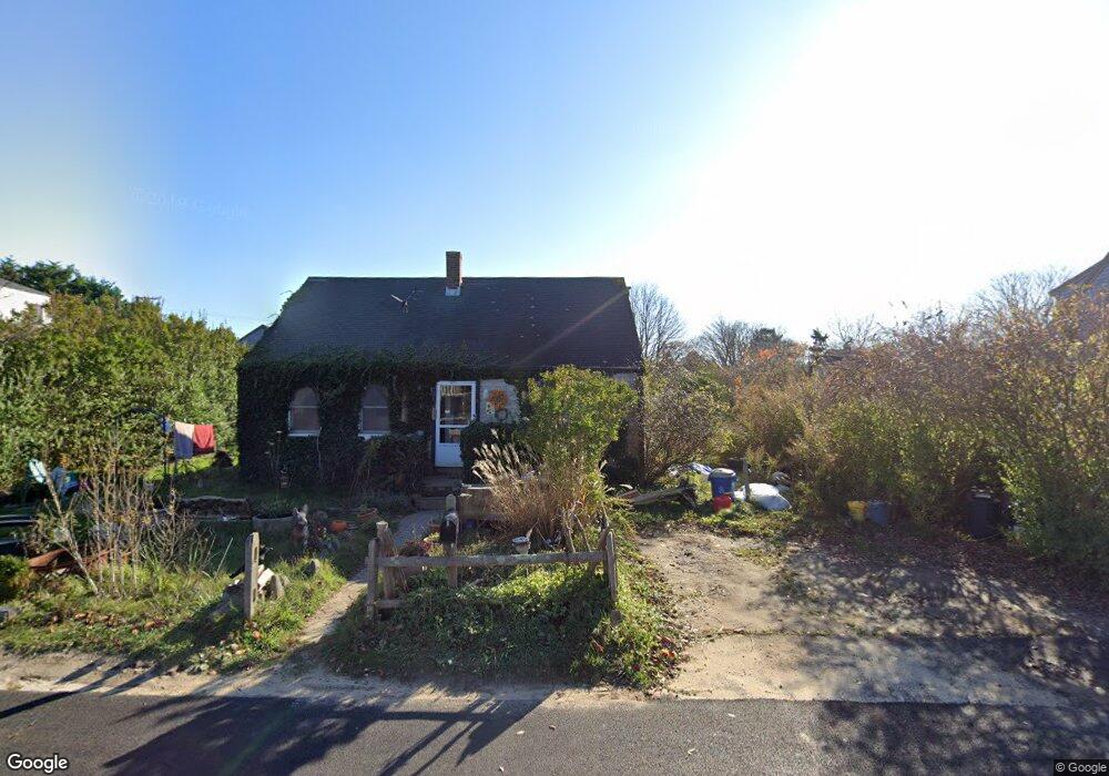
1 Bartlett Rd Nantucket, MA 02554
Nantucket AreaEstimated Value: $1,257,961 - $2,066,000
3
Beds
1
Bath
497
Sq Ft
$3,073/Sq Ft
Est. Value
About This Home
This home is located at 1 Bartlett Rd, Nantucket, MA 02554 and is currently estimated at $1,527,240, approximately $3,072 per square foot. 1 Bartlett Rd is a home located in Nantucket County with nearby schools including Nantucket Elementary School, Cyrus Peirce Middle School, and Nantucket High School.
Create a Home Valuation Report for This Property
The Home Valuation Report is an in-depth analysis detailing your home's value as well as a comparison with similar homes in the area
Home Values in the Area
Average Home Value in this Area
Tax History
We collect this data history from publicly available records. To have your information removed, we recommend requesting removal directly through your county’s website.
| Year | Tax Paid | Tax Assessment Tax Assessment Total Assessment is a certain percentage of the fair market value that is determined by local assessors to be the total taxable value of land and additions on the property. | Land | Improvement |
|---|---|---|---|---|
| 2025 | $1,101 | $198,103 | $198,103 | $0 |
| 2024 | $1,022 | $192,763 | $192,763 | $0 |
| 2023 | $1,005 | $184,100 | $184,100 | $0 |
| 2022 | $883 | $138,000 | $138,000 | $0 |
| 2021 | $802 | $129,400 | $129,400 | $0 |
| 2020 | $834 | $142,300 | $142,300 | $0 |
| 2019 | $813 | $142,300 | $142,300 | $0 |
| 2018 | $721 | $120,800 | $120,800 | $0 |
| 2017 | $816 | $136,300 | $136,300 | $0 |
| 2016 | $818 | $138,000 | $138,000 | $0 |
| 2015 | $792 | $124,200 | $124,200 | $0 |
| 2014 | $780 | $116,700 | $116,700 | $0 |
Source: Public Records
Map
Nearby Homes
- 22 Tashama Ln
- 3 Pakanoket Ln
- 14 Essex Rd
- 24 Washaman Ave
- 5 Miacomet Ave
- 30 Washaman Ave
- 2 Paupamo Way
- 4 White Whale Ln
- 12 Appleton Rd
- 33 Bartlett Rd
- 43 Autopscot Cir
- 20 B Miacomet Ave Unit B
- 38 Hooper Farm Rd
- 15 Pt Judith Ln
- 22 Hooper Farm Rd
- 33.5 Vesper Ln
- 21 Vesper Ln
- 21 Equator Dr
- 7 Gray Ave
- 1 E Freedom Square Unit 2.5
- 6 Larrabee Ln
- 8 Larrabee Ln
- 4 Larrabee Ln
- Lot A Larrabee Ln
- Lot 3 Larrabee Ln
- Lot B Larrabee Ln
- . Larrabee Ln
- - Larrabee Ln
- 10 Larrabee Ln
- 7 Bartlett Rd
- 7 Bartlett Rd Unit 1-2
- 9 Bartlett Rd
- 8 Maclean Ln
- 11 Bartlett Rd
- 10 Maclean Ln
- 12 Larrabee Ln
- 12R Larrabee Ln
- 6 Maclean Ln
- 3 Bartlett Rd
- 12 Maclean Ln
Your Personal Tour Guide
Ask me questions while you tour the home.