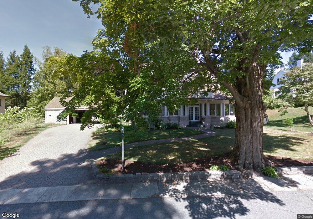
1 Berkeley Ave Haverhill, MA 01830
Highlands NeighborhoodEstimated Value: $717,000 - $900,000
4
Beds
3
Baths
4,026
Sq Ft
$205/Sq Ft
Est. Value
About This Home
This home is located at 1 Berkeley Ave, Haverhill, MA 01830 and is currently estimated at $826,379, approximately $205 per square foot. 1 Berkeley Ave is a home located in Essex County with nearby schools including Golden Hill, Dr. Paul Nettle Middle School, and Haverhill High School.
Ownership History
Date
Name
Owned For
Owner Type
Purchase Details
Closed on
Feb 9, 2018
Sold by
Theberge Edith K and Theberge Maurice G
Bought by
1 Berkley Avenue Nt
Current Estimated Value
Purchase Details
Closed on
Feb 6, 1963
Bought by
Theberge Maurice and Theberge Edith K
Create a Home Valuation Report for This Property
The Home Valuation Report is an in-depth analysis detailing your home's value as well as a comparison with similar homes in the area
Home Values in the Area
Average Home Value in this Area
Purchase History
| Date | Buyer | Sale Price | Title Company |
|---|---|---|---|
| 1 Berkley Avenue Nt | -- | -- | |
| Theberge Maurice | -- | -- |
Source: Public Records
Mortgage History
| Date | Status | Borrower | Loan Amount |
|---|---|---|---|
| Previous Owner | Theberge Maurice | $55,000 |
Source: Public Records
Tax History
| Year | Tax Paid | Tax Assessment Tax Assessment Total Assessment is a certain percentage of the fair market value that is determined by local assessors to be the total taxable value of land and additions on the property. | Land | Improvement |
|---|---|---|---|---|
| 2025 | $9,857 | $920,400 | $227,600 | $692,800 |
| 2024 | $8,868 | $833,500 | $227,600 | $605,900 |
| 2023 | $8,484 | $760,900 | $208,600 | $552,300 |
| 2022 | $8,086 | $635,700 | $189,600 | $446,100 |
| 2021 | $7,844 | $583,600 | $189,600 | $394,000 |
| 2020 | $7,843 | $576,700 | $189,600 | $387,100 |
| 2019 | $7,728 | $554,000 | $166,900 | $387,100 |
| 2018 | $7,471 | $523,900 | $161,200 | $362,700 |
| 2017 | $7,440 | $496,300 | $161,200 | $335,100 |
| 2016 | $8,390 | $546,200 | $218,100 | $328,100 |
| 2015 | $8,384 | $546,200 | $218,100 | $328,100 |
Source: Public Records
Map
Nearby Homes
- 29 Saltonstall Rd
- 54 Highland Ave
- 315 Mill St
- 31 Ashland St Unit 3
- 32 Arlington St Unit 32
- 22 Eastland Terrace
- 85-87 Summer St
- 80 Dwight St
- 100 Lawrence St Unit 5
- 100 Lawrence St Unit 18
- 405 Main St Unit 6
- 35-39 Auburn St
- 7 Dover St
- 12-14 Dover St
- 2 Michael Anthony Rd
- 33 Marshland St
- 18 Pentucket St
- 8 Vine St Unit 3
- 8 Vine St Unit 5
- 8 Vine St Unit 1
Your Personal Tour Guide
Ask me questions while you tour the home.