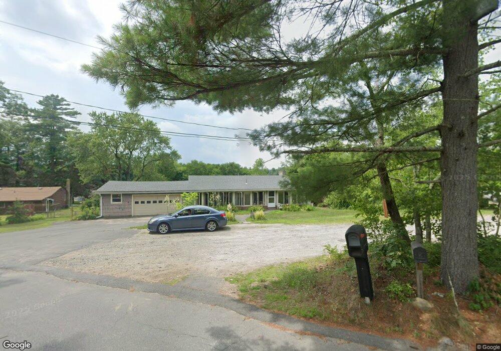
1 Bernardo Dr Montague, MA 01351
Estimated Value: $384,000 - $425,000
3
Beds
2
Baths
1,308
Sq Ft
$312/Sq Ft
Est. Value
About This Home
This home is located at 1 Bernardo Dr, Montague, MA 01351 and is currently estimated at $407,447, approximately $311 per square foot. 1 Bernardo Dr is a home located in Franklin County.
Ownership History
Date
Name
Owned For
Owner Type
Purchase Details
Closed on
Oct 26, 2007
Sold by
Stebbins Daniel and Stebbins Linda
Bought by
Woodcock Daniel W
Current Estimated Value
Home Financials for this Owner
Home Financials are based on the most recent Mortgage that was taken out on this home.
Original Mortgage
$240,000
Interest Rate
6.39%
Mortgage Type
VA
Purchase Details
Closed on
Jan 28, 1999
Sold by
Lively Kenneth J and Lively Patricia A
Bought by
Stebbins Daniel and Stebbins Linda
Create a Home Valuation Report for This Property
The Home Valuation Report is an in-depth analysis detailing your home's value as well as a comparison with similar homes in the area
Home Values in the Area
Average Home Value in this Area
Purchase History
| Date | Buyer | Sale Price | Title Company |
|---|---|---|---|
| Woodcock Daniel W | $240,000 | -- | |
| Woodcock Daniel W | $240,000 | -- | |
| Stebbins Daniel | $107,500 | -- | |
| Stebbins Daniel | $107,500 | -- |
Source: Public Records
Mortgage History
| Date | Status | Borrower | Loan Amount |
|---|---|---|---|
| Open | Stebbins Daniel | $249,446 | |
| Closed | Woodcock Daniel W | $240,000 |
Source: Public Records
Tax History Compared to Growth
Tax History
| Year | Tax Paid | Tax Assessment Tax Assessment Total Assessment is a certain percentage of the fair market value that is determined by local assessors to be the total taxable value of land and additions on the property. | Land | Improvement |
|---|---|---|---|---|
| 2025 | $5,217 | $343,000 | $54,300 | $288,700 |
| 2024 | $5,109 | $325,400 | $54,300 | $271,100 |
| 2023 | $4,930 | $315,000 | $54,300 | $260,700 |
| 2022 | $4,813 | $287,200 | $54,300 | $232,900 |
| 2021 | $4,723 | $270,800 | $52,900 | $217,900 |
| 2020 | $42 | $266,100 | $52,900 | $213,200 |
| 2019 | $5,354 | $265,400 | $63,000 | $202,400 |
| 2018 | $43 | $230,900 | $61,400 | $169,500 |
| 2017 | $3,849 | $230,900 | $61,400 | $169,500 |
| 2016 | $4,041 | $229,500 | $50,700 | $178,800 |
| 2015 | $3,892 | $229,500 | $50,700 | $178,800 |
| 2014 | $3,750 | $229,500 | $50,700 | $178,800 |
Source: Public Records
Map
Nearby Homes
- 64 Main St
- 132 Meadow Rd
- 495 Federal St Unit B
- 35 A N Leverett Rd
- 2 Gunn Rd
- 39 N Leverett Rd
- 55 A + B Randall Rd
- 38 Randall Wood Dr
- 183 Millers Falls Rd
- 202 Turnpike Rd
- 15 Crescent St
- 5 Bridge St
- 8 Craig Ave
- 114 Montague St
- 2 Alice St
- 109 Montague City Rd
- 89 Montague St
- Lots 1-4 Kavanaugh Ln
- 45 Millers Falls Rd
- 10 Hannabrooke Dr
- 0 Bernardo Dr
- 9 Old Northfield Rd
- 5 Bernardo Dr
- 449 Turners Falls Rd
- 443 Turners Falls Rd
- 8 Bernardo Dr
- 450 Turners Falls Rd
- 9 Bernardo Dr
- 441 Turners Falls Rd
- 454 Turners Falls Rd
- 442 Turners Falls Rd
- 437 Turners Falls Rd
- 15 Old Northfield Rd
- 458 Turners Falls Rd
- 11 Bernardo Dr
- 438 Turners Falls Rd
- 17 Bernardo Dr
- 433 Turners Falls Rd
- 465 Turners Falls Rd
- 21 Bernardo Dr