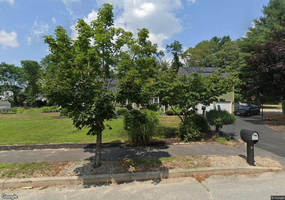
1 Bog Iron Rd West Wareham, MA 02576
Estimated Value: $607,000 - $762,000
4
Beds
3
Baths
2,344
Sq Ft
$298/Sq Ft
Est. Value
About This Home
This home is located at 1 Bog Iron Rd, West Wareham, MA 02576 and is currently estimated at $697,796, approximately $297 per square foot. 1 Bog Iron Rd is a home located in Plymouth County.
Ownership History
Date
Name
Owned For
Owner Type
Purchase Details
Closed on
May 11, 1998
Sold by
Bella Terra Rt and Kelly William D
Bought by
Gomes Antone A and Gomes Juanita E
Current Estimated Value
Home Financials for this Owner
Home Financials are based on the most recent Mortgage that was taken out on this home.
Original Mortgage
$129,200
Interest Rate
7.05%
Mortgage Type
Purchase Money Mortgage
Create a Home Valuation Report for This Property
The Home Valuation Report is an in-depth analysis detailing your home's value as well as a comparison with similar homes in the area
Home Values in the Area
Average Home Value in this Area
Purchase History
| Date | Buyer | Sale Price | Title Company |
|---|---|---|---|
| Gomes Antone A | $136,000 | -- | |
| Gomes Antone A | $136,000 | -- |
Source: Public Records
Mortgage History
| Date | Status | Borrower | Loan Amount |
|---|---|---|---|
| Open | Gomes Antone A | $256,000 | |
| Closed | Gomes Antone A | $265,000 | |
| Closed | Gomes Antone A | $129,200 |
Source: Public Records
Tax History Compared to Growth
Tax History
| Year | Tax Paid | Tax Assessment Tax Assessment Total Assessment is a certain percentage of the fair market value that is determined by local assessors to be the total taxable value of land and additions on the property. | Land | Improvement |
|---|---|---|---|---|
| 2025 | $6,630 | $636,300 | $131,400 | $504,900 |
| 2024 | $6,940 | $618,000 | $105,300 | $512,700 |
| 2023 | $6,647 | $552,500 | $96,000 | $456,500 |
| 2022 | $6,102 | $463,000 | $96,000 | $367,000 |
| 2021 | $6,001 | $446,200 | $96,000 | $350,200 |
| 2020 | $5,547 | $418,300 | $96,000 | $322,300 |
| 2019 | $5,583 | $420,100 | $99,000 | $321,100 |
| 2018 | $5,183 | $380,300 | $99,000 | $281,300 |
| 2017 | $4,732 | $351,800 | $99,000 | $252,800 |
| 2016 | $4,305 | $318,200 | $99,500 | $218,700 |
| 2015 | $4,159 | $318,200 | $99,500 | $218,700 |
| 2014 | $3,748 | $291,700 | $99,500 | $192,200 |
Source: Public Records
Map
Nearby Homes
- 20 Gault Rd
- 51 Crest Dr
- 27 Siesta Dr
- 47 Weaver St
- 103 Castle Dr
- 41 Longboat Rd
- 72 Papermill Rd Unit 72
- 11 Fonseca Way
- 59 Timber Ln
- 87 Great Hill Dr
- 189 Pine View Terrace
- 850 Main St
- 2230 Cranberry Hwy Unit 1
- 11 Acoaxet Ln
- 199 Windswept Rd
- 46 Helen St
- 563 County Rd
- 9 White Pine Ave
- 19 Station St
- 7 Forbes Rd