1 Brandon Ln Mystic, CT 06355
Mystic NeighborhoodEstimated Value: $711,000 - $837,000
2
Beds
3
Baths
2,653
Sq Ft
$289/Sq Ft
Est. Value
About This Home
This home is located at 1 Brandon Ln, Mystic, CT 06355 and is currently estimated at $765,396, approximately $288 per square foot. 1 Brandon Ln is a home located in New London County with nearby schools including Stonington Middle School and Stonington High School.
Ownership History
Date
Name
Owned For
Owner Type
Purchase Details
Closed on
Dec 19, 2012
Sold by
Lois F Geary T F and Lois Geary
Bought by
Lois F Geary T F and Lois Geary
Current Estimated Value
Home Financials for this Owner
Home Financials are based on the most recent Mortgage that was taken out on this home.
Original Mortgage
$211,000
Interest Rate
3.43%
Mortgage Type
New Conventional
Purchase Details
Closed on
Nov 30, 2010
Sold by
Smyle Virginia B
Bought by
Lois F Geary T F and Lois Geary
Home Financials for this Owner
Home Financials are based on the most recent Mortgage that was taken out on this home.
Original Mortgage
$235,000
Interest Rate
4.25%
Purchase Details
Closed on
Sep 1, 1995
Sold by
Olson Norman H and Olson Barbara
Bought by
Smyle Virginia
Create a Home Valuation Report for This Property
The Home Valuation Report is an in-depth analysis detailing your home's value as well as a comparison with similar homes in the area
Home Values in the Area
Average Home Value in this Area
Purchase History
| Date | Buyer | Sale Price | Title Company |
|---|---|---|---|
| Lois F Geary T F | -- | -- | |
| Lois F Geary T F | $466,740 | -- | |
| Lois F Geary T | $466,740 | -- | |
| Smyle Virginia | $225,000 | -- | |
| Smyle Virginia | $225,000 | -- |
Source: Public Records
Mortgage History
| Date | Status | Borrower | Loan Amount |
|---|---|---|---|
| Closed | Smyle Virginia | $211,000 | |
| Previous Owner | Smyle Virginia | $100,000 | |
| Previous Owner | Lois F Geary T | $235,000 |
Source: Public Records
Tax History Compared to Growth
Tax History
| Year | Tax Paid | Tax Assessment Tax Assessment Total Assessment is a certain percentage of the fair market value that is determined by local assessors to be the total taxable value of land and additions on the property. | Land | Improvement |
|---|---|---|---|---|
| 2025 | $7,047 | $363,600 | $0 | $363,600 |
| 2024 | $6,763 | $363,600 | $0 | $363,600 |
| 2023 | $6,727 | $363,600 | $0 | $363,600 |
| 2022 | $6,447 | $258,800 | $0 | $258,800 |
| 2021 | $6,496 | $258,800 | $0 | $258,800 |
| 2020 | $6,369 | $258,800 | $0 | $258,800 |
| 2019 | $6,369 | $258,800 | $0 | $258,800 |
| 2018 | $6,167 | $258,800 | $0 | $258,800 |
| 2017 | $8,199 | $341,200 | $0 | $341,200 |
| 2016 | $7,970 | $341,200 | $0 | $341,200 |
| 2015 | $7,599 | $341,200 | $0 | $341,200 |
| 2014 | $7,244 | $341,200 | $0 | $341,200 |
Source: Public Records
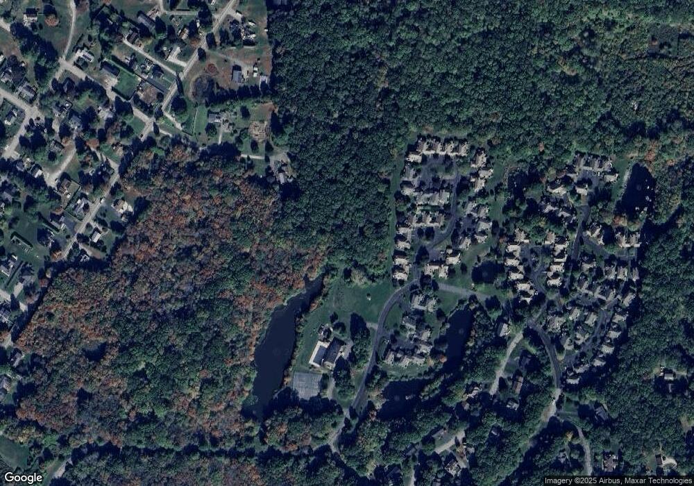
Map
Nearby Homes
- 0 Smail St Unit 24066473
- 20 Lambs Way
- 17 Old Stonington Rd
- 44 Williams Ave
- 30 Cove Rd
- 9 Kingfisher Way
- 6 Kingfisher Way
- 215 Pequotsepos Rd
- 6 Rogers Dr
- 8 Joyce St
- 17 Roosevelt Ave
- 38 Rossie St
- 39 Gledhill Ave
- 75 Montauk Ave
- 28 Rossie St
- 59 Montauk Ave
- 301 Montauk Ave
- 32 E Main St
- 174 Montauk Ave
- 16 Montauk Ave