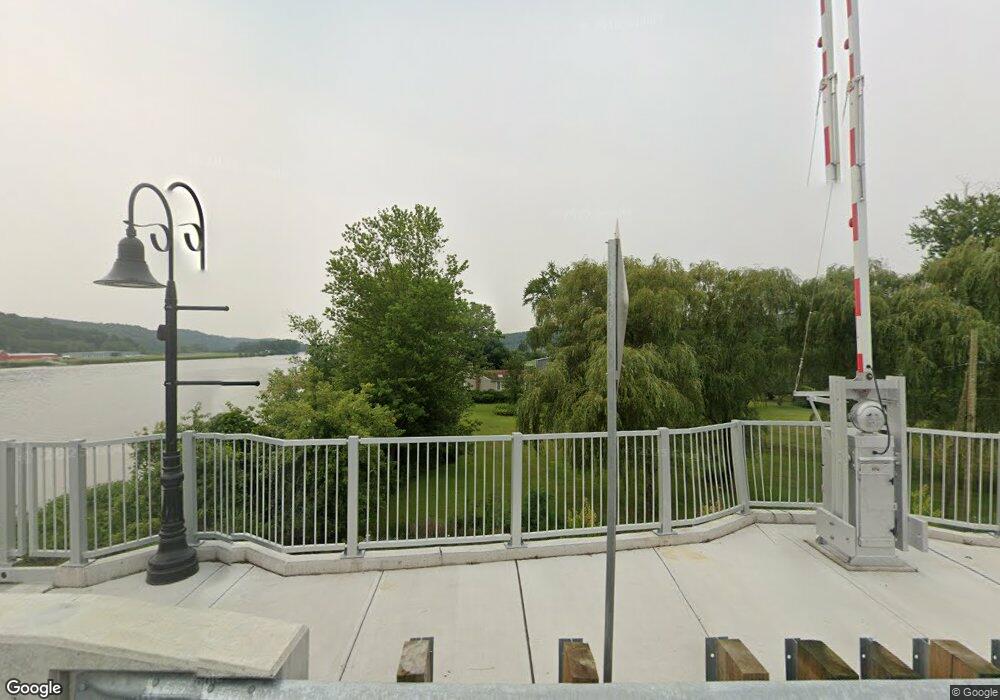
1 Bridge Rd Haddam, CT 06438
Estimated Value: $344,000 - $622,000
1
Bed
2
Baths
1,008
Sq Ft
$495/Sq Ft
Est. Value
About This Home
This home is located at 1 Bridge Rd, Haddam, CT 06438 and is currently estimated at $499,439, approximately $495 per square foot. 1 Bridge Rd is a home located in Middlesex County with nearby schools including Haddam-Killingworth High School.
Ownership History
Date
Name
Owned For
Owner Type
Purchase Details
Closed on
Sep 5, 2006
Sold by
Beckwith Anne G Est
Bought by
Springer Charles J and Springer Susan C
Current Estimated Value
Home Financials for this Owner
Home Financials are based on the most recent Mortgage that was taken out on this home.
Original Mortgage
$470,000
Interest Rate
6.44%
Mortgage Type
Purchase Money Mortgage
Purchase Details
Closed on
May 19, 2003
Sold by
Beckwith Anne G Est
Bought by
Komp Kathie J
Home Financials for this Owner
Home Financials are based on the most recent Mortgage that was taken out on this home.
Original Mortgage
$300,000
Interest Rate
5.84%
Mortgage Type
Purchase Money Mortgage
Purchase Details
Closed on
Oct 16, 2001
Sold by
Chester Thomas W and Clarke Joanne
Bought by
Beckwith Anne G
Home Financials for this Owner
Home Financials are based on the most recent Mortgage that was taken out on this home.
Original Mortgage
$185,500
Interest Rate
6.93%
Mortgage Type
Purchase Money Mortgage
Create a Home Valuation Report for This Property
The Home Valuation Report is an in-depth analysis detailing your home's value as well as a comparison with similar homes in the area
Home Values in the Area
Average Home Value in this Area
Purchase History
| Date | Buyer | Sale Price | Title Company |
|---|---|---|---|
| Springer Charles J | $590,000 | -- | |
| Komp Kathie J | $454,900 | -- | |
| Beckwith Anne G | $265,000 | -- |
Source: Public Records
Mortgage History
| Date | Status | Borrower | Loan Amount |
|---|---|---|---|
| Closed | Beckwith Anne G | $392,000 | |
| Closed | Beckwith Anne G | $470,000 | |
| Previous Owner | Beckwith Anne G | $300,000 | |
| Previous Owner | Beckwith Anne G | $185,500 |
Source: Public Records
Tax History
| Year | Tax Paid | Tax Assessment Tax Assessment Total Assessment is a certain percentage of the fair market value that is determined by local assessors to be the total taxable value of land and additions on the property. | Land | Improvement |
|---|---|---|---|---|
| 2025 | $10,352 | $301,380 | $220,660 | $80,720 |
| 2024 | $10,352 | $301,380 | $220,660 | $80,720 |
| 2023 | $10,208 | $301,380 | $220,660 | $80,720 |
| 2022 | $9,744 | $301,380 | $220,660 | $80,720 |
| 2021 | $9,692 | $301,380 | $220,660 | $80,720 |
| 2020 | $10,082 | $318,140 | $240,870 | $77,270 |
| 2019 | $10,082 | $318,140 | $240,870 | $77,270 |
| 2018 | $5,183 | $318,140 | $240,870 | $77,270 |
| 2017 | $10,082 | $318,140 | $240,870 | $77,270 |
| 2016 | $9,926 | $318,140 | $240,870 | $77,270 |
| 2015 | $9,926 | $318,140 | $240,870 | $77,270 |
| 2014 | $9,827 | $318,140 | $240,870 | $77,270 |
Source: Public Records
Map
Nearby Homes
- 4 Harpers Landing
- 27 Bridge Rd
- 14 Harpers Landing
- 180 Camp Bethel Rd
- 16 S Side Bluff
- 57 Bridge Rd
- 22 S Side Bluff
- 26 S Side Bluff
- 30 S Side Bluff
- 156 Camp Bethel Rd
- 168 Camp Bethel Rd
- 56 Bridge Rd
- 160 Camp Bethel Rd
- 69 Little Meadow Rd
- 61 Bridge Rd
- 163 Camp Bethel Rd
- 71 Little Meadow Rd
- 9 Main St
- 74 Little Meadow Rd
- 159 Camp Bethel Rd
Your Personal Tour Guide
Ask me questions while you tour the home.