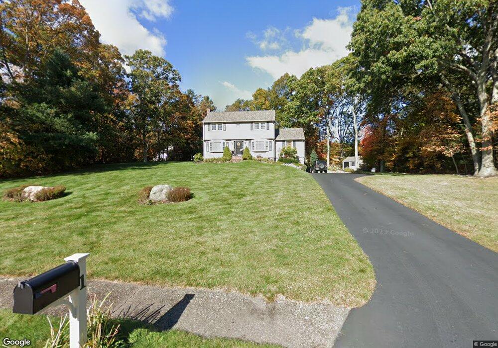
1 Burning Tree Rd Franklin, MA 02038
Estimated Value: $699,000 - $773,000
4
Beds
2
Baths
2,000
Sq Ft
$367/Sq Ft
Est. Value
About This Home
This home is located at 1 Burning Tree Rd, Franklin, MA 02038 and is currently estimated at $733,902, approximately $366 per square foot. 1 Burning Tree Rd is a home located in Norfolk County with nearby schools including Gerald M. Parmenter Elementary School, Remington Middle School, and Franklin High School.
Ownership History
Date
Name
Owned For
Owner Type
Purchase Details
Closed on
Jan 12, 2001
Sold by
Borge Joseph B and Borge June K
Bought by
Joannides-Burgos L and Burgos Wigberto
Current Estimated Value
Home Financials for this Owner
Home Financials are based on the most recent Mortgage that was taken out on this home.
Original Mortgage
$256,500
Outstanding Balance
$95,326
Interest Rate
7.64%
Mortgage Type
Purchase Money Mortgage
Estimated Equity
$638,576
Create a Home Valuation Report for This Property
The Home Valuation Report is an in-depth analysis detailing your home's value as well as a comparison with similar homes in the area
Purchase History
| Date | Buyer | Sale Price | Title Company |
|---|---|---|---|
| Joannides-Burgos L | $285,000 | -- |
Source: Public Records
Mortgage History
| Date | Status | Borrower | Loan Amount |
|---|---|---|---|
| Open | Joannides-Burgos L | $256,500 | |
| Previous Owner | Joannides-Burgos L | $70,000 | |
| Previous Owner | Joannides-Burgos L | $75,000 |
Source: Public Records
Tax History
| Year | Tax Paid | Tax Assessment Tax Assessment Total Assessment is a certain percentage of the fair market value that is determined by local assessors to be the total taxable value of land and additions on the property. | Land | Improvement |
|---|---|---|---|---|
| 2025 | $7,494 | $644,900 | $335,500 | $309,400 |
| 2024 | $6,964 | $590,700 | $335,500 | $255,200 |
| 2023 | $6,876 | $546,600 | $291,400 | $255,200 |
| 2022 | $6,251 | $444,900 | $220,800 | $224,100 |
| 2021 | $6,225 | $424,900 | $253,500 | $171,400 |
| 2020 | $5,887 | $405,700 | $243,100 | $162,600 |
| 2019 | $5,797 | $395,400 | $232,800 | $162,600 |
| 2018 | $5,415 | $369,600 | $224,500 | $145,100 |
| 2017 | $5,145 | $352,900 | $207,800 | $145,100 |
| 2016 | $5,020 | $346,200 | $222,600 | $123,600 |
| 2015 | $4,973 | $335,100 | $211,500 | $123,600 |
| 2014 | $4,773 | $330,300 | $185,500 | $144,800 |
Source: Public Records
Map
Nearby Homes
- 3 Oak View Terrace Unit 3
- 18 Northern Spy Rd
- 107 Mill St
- 54 Elysium St
- 30 Partridge View Ln S
- 300 Chestnut St
- 9 Elliot Mills Unit 5
- 8 Elliot Mills Unit 30
- 5 Elliot Mills Unit 3
- 7 Elliot Mills Unit 4
- 10 Elliot Mills Unit 29
- 26 Longfellow Dr
- 14 Waites Crossing
- 10 Waites Crossing
- 62 Uncas Ave Unit 1
- 66 Uncas Ave Unit 1
- 76 Uncas Ave Unit 1
- 80 Uncas Ave Unit 1
- 500 Franklin St
- 37 Cross St
- 4 Burning Tree Rd
- 101 Jordan Rd
- 3 Burning Tree Rd
- 102 Jordan Rd
- 2 Burning Tree Rd
- 140 Jordan Rd
- 6 Burning Tree Rd
- 8 Burning Tree Rd
- 5 Burning Tree Rd
- 204 Jordan Rd
- 1 Pearly Ln
- 205 Jordan Rd
- 3 Pearly Ln
- 84 Country Club Dr
- 98 Jordan Rd
- 10 Burning Tree Rd
- 7 Burning Tree Rd
- 5 Pearly Ln
- 206 Jordan Rd
- 72 Country Club Dr
Your Personal Tour Guide
Ask me questions while you tour the home.