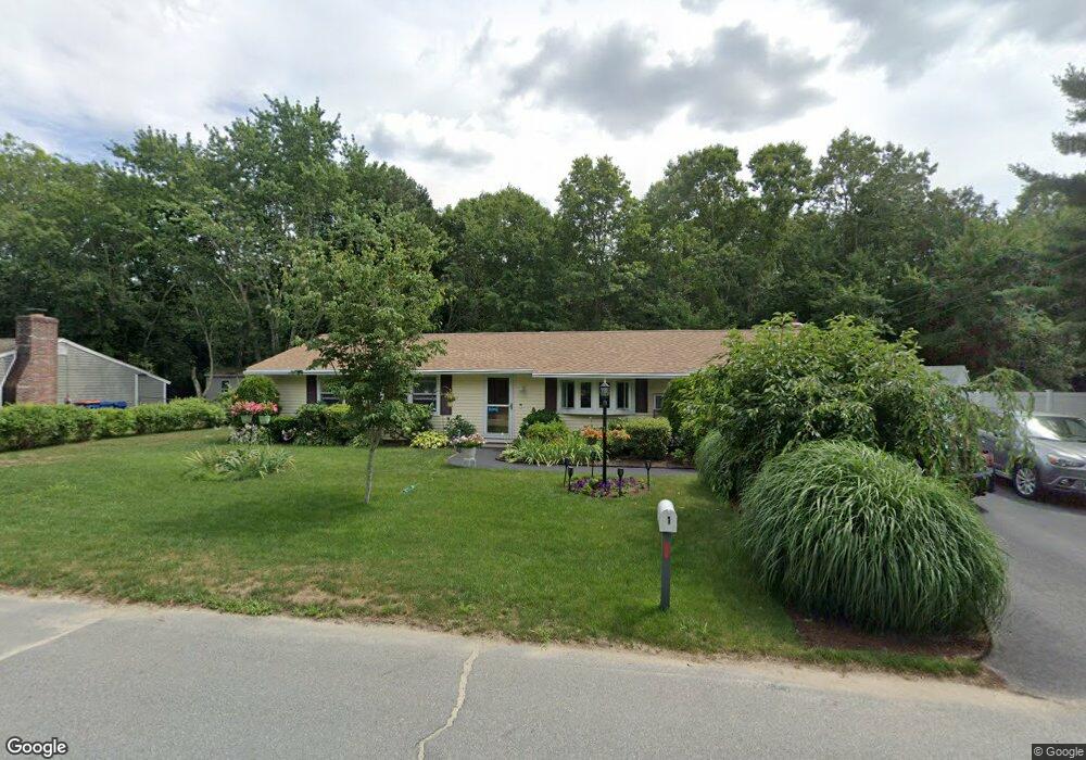
1 Camardo Dr Wareham, MA 02571
Weweantic NeighborhoodEstimated Value: $430,000 - $581,000
3
Beds
1
Bath
1,316
Sq Ft
$357/Sq Ft
Est. Value
About This Home
This home is located at 1 Camardo Dr, Wareham, MA 02571 and is currently estimated at $469,945, approximately $357 per square foot. 1 Camardo Dr is a home located in Plymouth County with nearby schools including Tabor Academy.
Ownership History
Date
Name
Owned For
Owner Type
Purchase Details
Closed on
Jul 14, 1988
Sold by
Fruzetti Richard
Bought by
White David C
Current Estimated Value
Create a Home Valuation Report for This Property
The Home Valuation Report is an in-depth analysis detailing your home's value as well as a comparison with similar homes in the area
Home Values in the Area
Average Home Value in this Area
Purchase History
| Date | Buyer | Sale Price | Title Company |
|---|---|---|---|
| White David C | $103,800 | -- |
Source: Public Records
Mortgage History
| Date | Status | Borrower | Loan Amount |
|---|---|---|---|
| Open | White David C | $135,750 | |
| Closed | White David C | $136,000 | |
| Closed | White David C | $92,614 | |
| Closed | White David C | $106,700 |
Source: Public Records
Tax History
| Year | Tax Paid | Tax Assessment Tax Assessment Total Assessment is a certain percentage of the fair market value that is determined by local assessors to be the total taxable value of land and additions on the property. | Land | Improvement |
|---|---|---|---|---|
| 2025 | $3,582 | $343,800 | $110,700 | $233,100 |
| 2024 | $3,637 | $323,900 | $86,700 | $237,200 |
| 2023 | $3,050 | $289,600 | $78,800 | $210,800 |
| 2022 | $3,050 | $231,400 | $78,800 | $152,600 |
| 2021 | $3,018 | $224,400 | $78,800 | $145,600 |
| 2020 | $2,822 | $212,800 | $78,800 | $134,000 |
| 2019 | $2,705 | $203,500 | $76,800 | $126,700 |
| 2018 | $2,558 | $187,700 | $76,800 | $110,900 |
| 2017 | $2,429 | $180,600 | $76,800 | $103,800 |
| 2016 | $2,232 | $165,000 | $75,300 | $89,700 |
| 2015 | $2,157 | $165,000 | $75,300 | $89,700 |
| 2014 | $2,172 | $169,000 | $71,600 | $97,400 |
Source: Public Records
Map
Nearby Homes
Your Personal Tour Guide
Ask me questions while you tour the home.