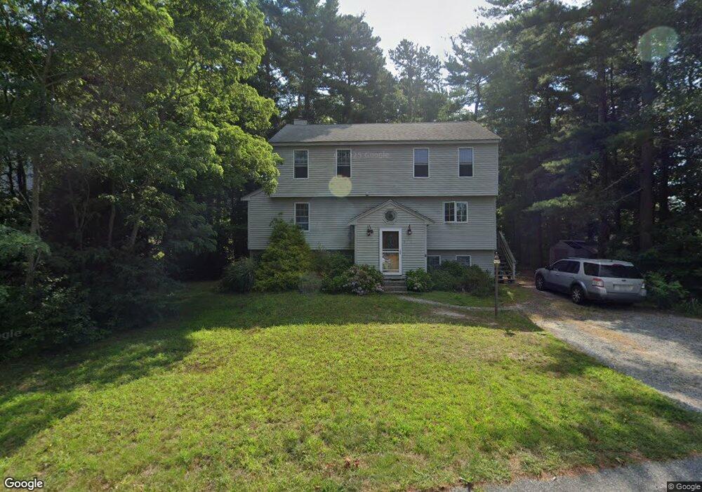
1 Cannonberry Way Wareham, MA 02571
Wareham Center NeighborhoodEstimated Value: $532,503 - $604,000
3
Beds
2
Baths
1,536
Sq Ft
$376/Sq Ft
Est. Value
About This Home
This home is located at 1 Cannonberry Way, Wareham, MA 02571 and is currently estimated at $578,126, approximately $376 per square foot. 1 Cannonberry Way is a home located in Plymouth County with nearby schools including Tabor Academy.
Ownership History
Date
Name
Owned For
Owner Type
Purchase Details
Closed on
Sep 27, 1996
Sold by
Cottam Beverly J and Cottam Joseph
Bought by
Silva Ricardo M and Silva Andea M
Current Estimated Value
Purchase Details
Closed on
Jan 9, 1989
Sold by
Common Cannonberry
Bought by
Cottam Josephw
Create a Home Valuation Report for This Property
The Home Valuation Report is an in-depth analysis detailing your home's value as well as a comparison with similar homes in the area
Home Values in the Area
Average Home Value in this Area
Purchase History
| Date | Buyer | Sale Price | Title Company |
|---|---|---|---|
| Silva Ricardo M | $126,725 | -- | |
| Silva Ricardo M | $126,725 | -- | |
| Cottam Josephw | $165,000 | -- | |
| Cottam Josephw | $165,000 | -- |
Source: Public Records
Mortgage History
| Date | Status | Borrower | Loan Amount |
|---|---|---|---|
| Open | Cottam Josephw | $75,000 | |
| Open | Cottam Josephw | $113,550 | |
| Closed | Cottam Josephw | $117,700 |
Source: Public Records
Tax History
| Year | Tax Paid | Tax Assessment Tax Assessment Total Assessment is a certain percentage of the fair market value that is determined by local assessors to be the total taxable value of land and additions on the property. | Land | Improvement |
|---|---|---|---|---|
| 2025 | $4,554 | $437,000 | $121,100 | $315,900 |
| 2024 | $4,553 | $405,400 | $94,700 | $310,700 |
| 2023 | $4,331 | $360,000 | $86,100 | $273,900 |
| 2022 | $4,041 | $306,600 | $86,100 | $220,500 |
| 2021 | $3,974 | $295,500 | $86,100 | $209,400 |
| 2020 | $3,723 | $280,800 | $86,100 | $194,700 |
| 2019 | $3,530 | $265,600 | $83,100 | $182,500 |
| 2018 | $22 | $245,400 | $83,100 | $162,300 |
| 2017 | $3,157 | $234,700 | $83,100 | $151,600 |
| 2016 | $2,855 | $211,000 | $80,700 | $130,300 |
| 2015 | $2,758 | $211,000 | $80,700 | $130,300 |
| 2014 | $2,868 | $223,200 | $80,700 | $142,500 |
Source: Public Records
Map
Nearby Homes
- 15 Broadmarsh Ave
- 6 Allen Ave
- 20 Grant St
- 43 Shore Ave
- 21 Bayview St
- 10 Barnes St
- 58 Shady Ln
- 1 Nimrod Way
- 233 Marion Rd
- 6 Bourne Terrace
- 10 Longmeadow Dr
- 0 Cromesett Rd (Off) Unit 73385395
- 9 Woodville Way
- 10 Oak St
- 4 Roosevelt St
- 14 Briarwood Dr
- 437 Main St
- 12 Oakdale St
- 12 Taft St
- 110 Mayflower Ridge Dr
- 3 Cannonberry Way
- 5 Cannonberry Way
- 2 Irene Ave
- 2 Cannonberry Way
- 4 Cannonberry Way
- 2 Eunice Ave
- 7 Cannonberry Way
- 3 Eunice Ave
- 94 Swifts Beach Rd
- 96 Swifts Beach Rd
- 9 Cannonberry Way
- 6 Cannonberry Way
- 3 Irene Ave
- 98 Swifts Beach Rd
- 6 Irene Ave
- 11 Cannonberry Way
- 92 Swifts Beach Rd
- 6 Stephens Ave
- 1 Eunice Ave
- 8 Cannonberry Way
Your Personal Tour Guide
Ask me questions while you tour the home.