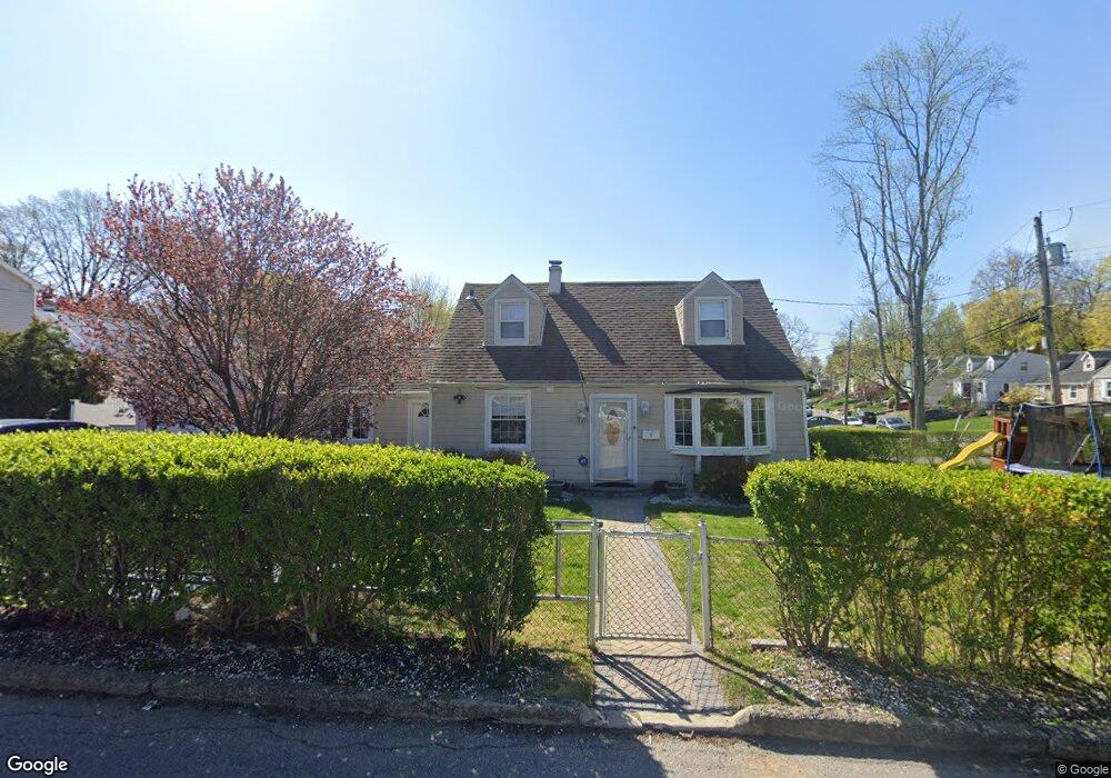
1 Cantitoe Rd Yonkers, NY 10710
Northeast Yonkers NeighborhoodEstimated Value: $580,000 - $676,688
4
Beds
1
Bath
1,305
Sq Ft
$485/Sq Ft
Est. Value
About This Home
This home is located at 1 Cantitoe Rd, Yonkers, NY 10710 and is currently estimated at $632,672, approximately $484 per square foot. 1 Cantitoe Rd is a home located in Westchester County.
Ownership History
Date
Name
Owned For
Owner Type
Purchase Details
Closed on
Jan 16, 2015
Sold by
Naghton John and Naghton Maureen
Bought by
Fanek Harran El and Fanek Sandi
Current Estimated Value
Home Financials for this Owner
Home Financials are based on the most recent Mortgage that was taken out on this home.
Original Mortgage
$410,815
Outstanding Balance
$313,618
Interest Rate
3.75%
Mortgage Type
FHA
Estimated Equity
$319,054
Purchase Details
Closed on
Dec 19, 2007
Sold by
Amato James M and Amato William P
Bought by
Naughton John and Naughton Maureen
Create a Home Valuation Report for This Property
The Home Valuation Report is an in-depth analysis detailing your home's value as well as a comparison with similar homes in the area
Home Values in the Area
Average Home Value in this Area
Purchase History
| Date | Buyer | Sale Price | Title Company |
|---|---|---|---|
| Fanek Harran El | $425,000 | The Judicial Title Ins Agenc | |
| Naughton John | $405,000 | Washington Title Ins Co |
Source: Public Records
Mortgage History
| Date | Status | Borrower | Loan Amount |
|---|---|---|---|
| Open | Fanek Harran El | $410,815 |
Source: Public Records
Tax History Compared to Growth
Tax History
| Year | Tax Paid | Tax Assessment Tax Assessment Total Assessment is a certain percentage of the fair market value that is determined by local assessors to be the total taxable value of land and additions on the property. | Land | Improvement |
|---|---|---|---|---|
| 2024 | $1,693 | $9,500 | $3,200 | $6,300 |
| 2023 | $1,684 | $9,500 | $3,200 | $6,300 |
| 2022 | $1,673 | $9,500 | $3,200 | $6,300 |
| 2021 | $8,187 | $9,500 | $3,200 | $6,300 |
| 2020 | $8,188 | $9,500 | $3,200 | $6,300 |
| 2019 | $9,400 | $9,500 | $3,200 | $6,300 |
| 2018 | $7,743 | $9,500 | $3,200 | $6,300 |
| 2017 | $5,514 | $9,500 | $3,200 | $6,300 |
| 2016 | $7,520 | $9,500 | $3,200 | $6,300 |
| 2015 | -- | $9,500 | $3,200 | $6,300 |
| 2014 | -- | $9,500 | $3,200 | $6,300 |
| 2013 | -- | $9,500 | $3,200 | $6,300 |
Source: Public Records
Map
Nearby Homes
- 11 Jackson Ave Unit 4
- 49 Gail Rd
- 15 Bristol Place
- 12 Bacon Place
- 2 Fountain Ln Unit 2P
- 2 Fountain Ln Unit 1N
- 2 Fountain Ln Unit 3P
- 16 High Point Ln
- 0 High Point Ln
- 33 Eisenhower Dr
- 2 High Point Terrace
- 52 Sprain Valley Rd
- 66 Crisfield St Unit 3Y
- 66 Crisfield St Unit 1D
- 66 Crisfield St Unit 3D
- 80 Dorset Rd
- 15 High Point Terrace
- 127 Crisfield St
- 100 Woodford Rd
- 208 Boulder Ridge Rd
- 9 Keystone Rd
- 5 Cantitoe Rd
- 107 Fort Hill Ave
- 103 Fort Hill Ave
- 9 Cantitoe Rd
- 14 Keystone Rd
- 10 Keystone Rd
- 21 Keystone Rd
- 99 Fort Hill Ave
- 6 Cantitoe Rd
- 18 Keystone Rd
- 115 Fort Hill Ave
- 15 Cantitoe Rd
- 2 Keystone Rd
- 22 Keystone Rd
- 95 Fort Hill Ave
- 10 Cantitoe Rd
- 25 Keystone Rd
- 119 Fort Hill Ave
- 26 Keystone Rd