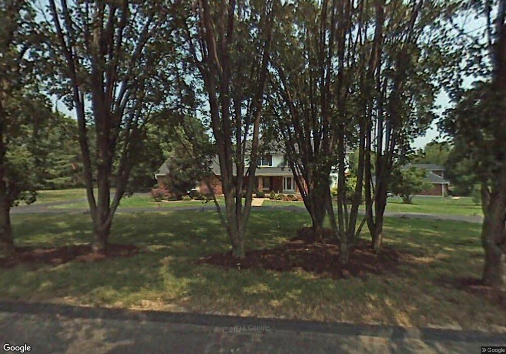
1 Clarkson Farm Dr Chesterfield, MO 63017
Estimated Value: $648,000 - $798,000
4
Beds
3
Baths
2,938
Sq Ft
$256/Sq Ft
Est. Value
About This Home
This home is located at 1 Clarkson Farm Dr, Chesterfield, MO 63017 and is currently estimated at $751,364, approximately $255 per square foot. 1 Clarkson Farm Dr is a home located in St. Louis County with nearby schools including Kehrs Mill Elementary, Crestview Middle School, and Marquette Sr. High School.
Ownership History
Date
Name
Owned For
Owner Type
Purchase Details
Closed on
Oct 25, 2002
Sold by
Maupin Theresa A and Maupin Daniel F
Bought by
Maupin Daniel F and Maupin Theresa A
Current Estimated Value
Home Financials for this Owner
Home Financials are based on the most recent Mortgage that was taken out on this home.
Original Mortgage
$188,700
Interest Rate
6%
Purchase Details
Closed on
Apr 23, 1999
Sold by
Burner Matthew J and Burner Alison S
Bought by
Roche Theresa A
Home Financials for this Owner
Home Financials are based on the most recent Mortgage that was taken out on this home.
Original Mortgage
$194,400
Interest Rate
6.99%
Create a Home Valuation Report for This Property
The Home Valuation Report is an in-depth analysis detailing your home's value as well as a comparison with similar homes in the area
Home Values in the Area
Average Home Value in this Area
Purchase History
| Date | Buyer | Sale Price | Title Company |
|---|---|---|---|
| Maupin Daniel F | -- | -- | |
| Roche Theresa A | $243,000 | -- |
Source: Public Records
Mortgage History
| Date | Status | Borrower | Loan Amount |
|---|---|---|---|
| Closed | Maupin Daniel F | $188,700 | |
| Closed | Roche Theresa A | $194,400 | |
| Closed | Maupin Daniel F | $100,000 |
Source: Public Records
Tax History Compared to Growth
Tax History
| Year | Tax Paid | Tax Assessment Tax Assessment Total Assessment is a certain percentage of the fair market value that is determined by local assessors to be the total taxable value of land and additions on the property. | Land | Improvement |
|---|---|---|---|---|
| 2025 | $8,755 | $140,000 | $57,670 | $82,330 |
| 2024 | $8,755 | $123,630 | $49,990 | $73,640 |
| 2023 | $8,755 | $123,630 | $49,990 | $73,640 |
| 2022 | $7,986 | $104,810 | $49,990 | $54,820 |
| 2021 | $7,929 | $116,450 | $49,990 | $66,460 |
| 2020 | $7,965 | $100,390 | $35,660 | $64,730 |
| 2019 | $7,995 | $100,390 | $35,660 | $64,730 |
| 2018 | $7,225 | $85,500 | $25,780 | $59,720 |
| 2017 | $7,055 | $85,500 | $25,780 | $59,720 |
| 2016 | $6,846 | $79,800 | $25,780 | $54,020 |
| 2015 | $6,710 | $79,800 | $25,780 | $54,020 |
| 2014 | $6,036 | $70,000 | $14,840 | $55,160 |
Source: Public Records
Map
Nearby Homes
- 155 Forest Club Dr
- 233 Whiting Ln
- 312 Clayton Crossing Dr Unit 304
- 1020 Del Ebro Dr
- 1025 Bridgeport Dr
- 1 Rendina Ct
- 925 Camargo Dr
- 927 Claytonbrook Dr Unit 3
- 917 Claytonbrook Dr Unit 3
- 2639 Sun Meadow Dr
- 1131 Claytonbrook Ct Unit 1131
- 920 Claytonbrook Dr Unit 3
- 922 Claytonbrook Dr Unit 2
- 910 Claytonbrook Dr Unit 1
- 10 Forest Club Dr
- 342 Clayton Trails Dr
- 15921 Picardy Crest Ct
- 9 Picardy Hill Dr
- 15740 Tambour Ct
- 192 Corral Trail
- 3 Clarkson Farm Dr
- 2 Clarkson Farm Dr
- 5 Clarkson Farm Dr
- 4 Clarkson Farm Dr
- 10 Clarkson Farm Dr
- 7 Clarkson Farm Dr
- 6 Clarkson Farm Dr
- 8 Clarkson Farm Dr
- 2288 Whitby Rd
- 2284 Whitby Rd
- 12 Clarkson Farm Dr
- 159 Highgrove Ct
- 2280 Whitby Rd
- 9 Clarkson Farm Dr
- 2287 Whitby Rd
- 14 Clarkson Farm Dr
- 27 Clarkson Farm Dr
- 2276 Whitby Rd
- 2279 Whitby Rd
- 155 Highgrove Ct