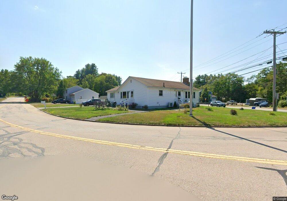
1 Conant Rd Nashua, NH 03062
Southwest Nashua NeighborhoodEstimated Value: $500,623 - $566,000
2
Beds
2
Baths
1,480
Sq Ft
$354/Sq Ft
Est. Value
About This Home
This home is located at 1 Conant Rd, Nashua, NH 03062 and is currently estimated at $524,406, approximately $354 per square foot. 1 Conant Rd is a home located in Hillsborough County with nearby schools including Main Dunstable School, Elm Street Middle School, and Nashua High School South.
Ownership History
Date
Name
Owned For
Owner Type
Purchase Details
Closed on
Oct 8, 1998
Sold by
Lozeau Arthur G and Lozeau Jean S
Bought by
Heywood Robert L and Heywood Diane M
Current Estimated Value
Home Financials for this Owner
Home Financials are based on the most recent Mortgage that was taken out on this home.
Original Mortgage
$12,000
Outstanding Balance
$2,568
Interest Rate
6.92%
Estimated Equity
$521,838
Create a Home Valuation Report for This Property
The Home Valuation Report is an in-depth analysis detailing your home's value as well as a comparison with similar homes in the area
Home Values in the Area
Average Home Value in this Area
Purchase History
| Date | Buyer | Sale Price | Title Company |
|---|---|---|---|
| Heywood Robert L | $110,000 | -- |
Source: Public Records
Mortgage History
| Date | Status | Borrower | Loan Amount |
|---|---|---|---|
| Open | Heywood Robert L | $12,000 |
Source: Public Records
Tax History
| Year | Tax Paid | Tax Assessment Tax Assessment Total Assessment is a certain percentage of the fair market value that is determined by local assessors to be the total taxable value of land and additions on the property. | Land | Improvement |
|---|---|---|---|---|
| 2024 | $7,403 | $465,600 | $172,500 | $293,100 |
| 2023 | $7,122 | $390,700 | $138,000 | $252,700 |
| 2022 | $7,060 | $390,700 | $138,000 | $252,700 |
| 2021 | $6,506 | $280,200 | $92,000 | $188,200 |
| 2020 | $6,335 | $280,200 | $92,000 | $188,200 |
| 2019 | $6,097 | $280,200 | $92,000 | $188,200 |
| 2018 | $5,943 | $280,200 | $92,000 | $188,200 |
| 2017 | $5,945 | $230,500 | $73,000 | $157,500 |
| 2016 | $5,779 | $230,500 | $73,000 | $157,500 |
| 2015 | $5,654 | $230,500 | $73,000 | $157,500 |
| 2014 | $5,544 | $230,500 | $73,000 | $157,500 |
Source: Public Records
Map
Nearby Homes
- 26 Old Coach Rd
- 4 Portchester Dr
- 14 Millbrook Dr
- 288 Main Dunstable Rd
- 47 Dogwood Dr Unit U205
- 47 Dogwood Dr Unit U202
- 4 Heather Ct Unit U34
- 25 Silverton Dr Unit U73
- 30 Ledgewood Hills Dr Unit 104
- 12 Ledgewood Hills Dr Unit 105
- 17 Twilight Dr
- 4 Henry David Dr Unit 203
- 4 Henry David Dr Unit 202
- 8 Althea Ln Unit U26
- 23 Spring Cove Rd Unit U152
- 247 Main Dunstable Rd
- 668 W Hollis St
- 244 Harris Rd
- 29 Nottingham Dr
- 21 Parkhurst Dr
- 331 Main Dunstable Rd
- 329 1/2 Main Dunstable Rd
- 7 Conant Rd
- 339 Main Dunstable Rd
- 8 Conant Rd
- 332 Main Dunstable Rd
- 328 Main Dunstable Rd
- 334 Main Dunstable Rd
- 3 Smokey Ln
- 327 Main Dunstable Rd
- 42 Jennifer Dr
- 10 Conant Rd
- 9 Conant Rd
- 329 Main Dunstable Rd
- 37 Jennifer Dr
- 341 Main Dunstable Rd
- 338 Main Dunstable Rd
- 1 Arthurs Ln
- 5 Jennifer Dr
- 7 Jennifer Dr
Your Personal Tour Guide
Ask me questions while you tour the home.