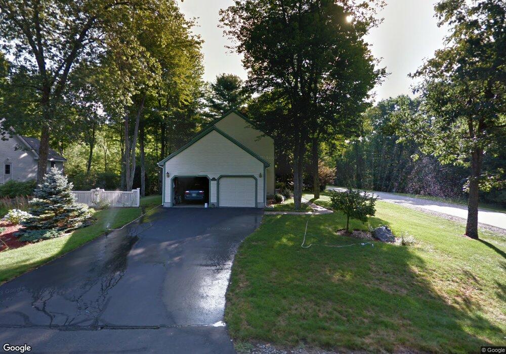
1 Danforth Dr Bedford, NH 03110
Bedford NeighborhoodEstimated Value: $711,000 - $735,000
3
Beds
3
Baths
1,946
Sq Ft
$370/Sq Ft
Est. Value
About This Home
This home is located at 1 Danforth Dr, Bedford, NH 03110 and is currently estimated at $719,437, approximately $369 per square foot. 1 Danforth Dr is a home located in Hillsborough County with nearby schools including Mckelvie Intermediate School, Ross A. Lurgio Middle School, and Bedford High School.
Ownership History
Date
Name
Owned For
Owner Type
Purchase Details
Closed on
Nov 20, 2017
Sold by
Gouveia Joseph and Gouveia Debra
Bought by
Bourcier Scott M and Bourcier Donna E
Current Estimated Value
Home Financials for this Owner
Home Financials are based on the most recent Mortgage that was taken out on this home.
Original Mortgage
$384,750
Outstanding Balance
$322,402
Interest Rate
3.85%
Mortgage Type
Purchase Money Mortgage
Estimated Equity
$397,035
Purchase Details
Closed on
Aug 15, 2005
Sold by
Kammer Michael J and Kammer Gisele M
Bought by
Gouveia Joseph and Gouveia Debra
Home Financials for this Owner
Home Financials are based on the most recent Mortgage that was taken out on this home.
Original Mortgage
$288,000
Interest Rate
5.54%
Mortgage Type
Purchase Money Mortgage
Purchase Details
Closed on
Dec 5, 2003
Sold by
Abrams Gary M
Bought by
Kammer Michael J and Kammer Gisele M
Home Financials for this Owner
Home Financials are based on the most recent Mortgage that was taken out on this home.
Original Mortgage
$255,900
Interest Rate
6.03%
Mortgage Type
Purchase Money Mortgage
Purchase Details
Closed on
Apr 3, 2000
Sold by
Flatten James V and Flatten Maryann
Bought by
Abrams Gary M
Home Financials for this Owner
Home Financials are based on the most recent Mortgage that was taken out on this home.
Original Mortgage
$203,500
Interest Rate
8.4%
Create a Home Valuation Report for This Property
The Home Valuation Report is an in-depth analysis detailing your home's value as well as a comparison with similar homes in the area
Home Values in the Area
Average Home Value in this Area
Purchase History
| Date | Buyer | Sale Price | Title Company |
|---|---|---|---|
| Bourcier Scott M | $405,000 | -- | |
| Gouveia Joseph | $360,000 | -- | |
| Kammer Michael J | $319,900 | -- | |
| Abrams Gary M | $226,200 | -- |
Source: Public Records
Mortgage History
| Date | Status | Borrower | Loan Amount |
|---|---|---|---|
| Open | Bourcier Scott M | $384,750 | |
| Previous Owner | Abrams Gary M | $200,001 | |
| Previous Owner | Abrams Gary M | $288,000 | |
| Previous Owner | Abrams Gary M | $255,900 | |
| Previous Owner | Abrams Gary M | $203,500 |
Source: Public Records
Tax History Compared to Growth
Tax History
| Year | Tax Paid | Tax Assessment Tax Assessment Total Assessment is a certain percentage of the fair market value that is determined by local assessors to be the total taxable value of land and additions on the property. | Land | Improvement |
|---|---|---|---|---|
| 2024 | $9,203 | $582,100 | $215,300 | $366,800 |
| 2023 | $8,615 | $582,100 | $215,300 | $366,800 |
| 2022 | $7,830 | $444,900 | $159,500 | $285,400 |
| 2021 | $7,626 | $444,900 | $159,500 | $285,400 |
| 2020 | $7,443 | $371,800 | $116,800 | $255,000 |
| 2019 | $7,046 | $371,800 | $116,800 | $255,000 |
| 2018 | $6,907 | $338,600 | $110,800 | $227,800 |
| 2017 | $6,375 | $337,100 | $110,800 | $226,300 |
| 2016 | $6,492 | $290,200 | $84,000 | $206,200 |
| 2015 | $6,605 | $290,200 | $84,000 | $206,200 |
| 2014 | $6,530 | $290,200 | $84,000 | $206,200 |
| 2013 | $6,434 | $290,200 | $84,000 | $206,200 |
Source: Public Records
Map
Nearby Homes
- 40 Tirrell Hill Rd
- 434 Donald St
- 2 Merry St
- 58 Violet St
- Lot 6 Aisling Ln Unit Lot 6 - The Silverto
- 30 Tanglewood Ct
- 10 Glenwood Ave
- 21 Prairie Ct
- 133 Bismark St
- 15 Grand Ave Unit Lot 3
- 18 Grand Ave Unit Lot 7
- 17 Grand Ave
- 24 Fairbanks St
- 15 Patterson St
- 164 Rochelle Ave
- 9 Edmond St
- 26 College Rd
- 55 Salem St
- 0 Huntress St
- 52 Moreau St