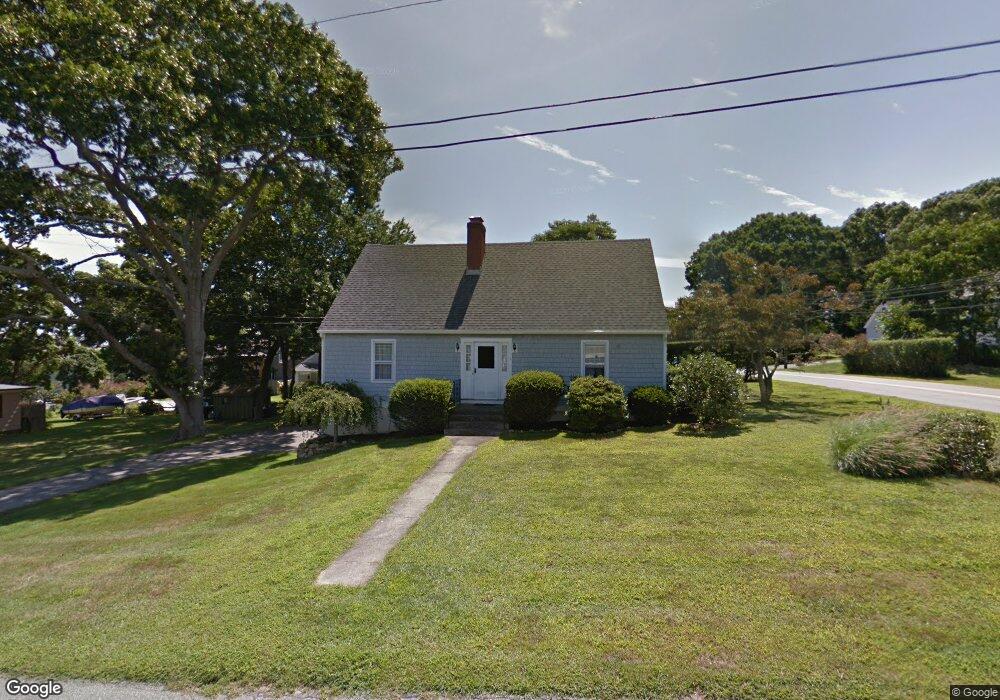
1 Dart St Niantic, CT 06357
Estimated Value: $799,154 - $1,196,000
5
Beds
3
Baths
2,975
Sq Ft
$330/Sq Ft
Est. Value
About This Home
This home is located at 1 Dart St, Niantic, CT 06357 and is currently estimated at $981,789, approximately $330 per square foot. 1 Dart St is a home located in New London County with nearby schools including East Lyme Middle School, East Lyme High School, and The Light House Voc-Ed Center.
Ownership History
Date
Name
Owned For
Owner Type
Purchase Details
Closed on
Sep 6, 2013
Sold by
Schiller George H and Schiller Lucine M
Bought by
Schiller George J and Steglitz Kathryn L
Current Estimated Value
Home Financials for this Owner
Home Financials are based on the most recent Mortgage that was taken out on this home.
Original Mortgage
$55,000
Interest Rate
3.83%
Purchase Details
Closed on
Aug 1, 2006
Sold by
Schiller George and Schiller Lucine
Bought by
Schiller George J and Schiller Carol
Create a Home Valuation Report for This Property
The Home Valuation Report is an in-depth analysis detailing your home's value as well as a comparison with similar homes in the area
Home Values in the Area
Average Home Value in this Area
Purchase History
| Date | Buyer | Sale Price | Title Company |
|---|---|---|---|
| Schiller George J | -- | -- | |
| Schiller George J | $120,000 | -- |
Source: Public Records
Mortgage History
| Date | Status | Borrower | Loan Amount |
|---|---|---|---|
| Previous Owner | Schiller George J | $55,000 | |
| Previous Owner | Schiller George J | $135,000 | |
| Previous Owner | Schiller George J | $15,000 |
Source: Public Records
Tax History
| Year | Tax Paid | Tax Assessment Tax Assessment Total Assessment is a certain percentage of the fair market value that is determined by local assessors to be the total taxable value of land and additions on the property. | Land | Improvement |
|---|---|---|---|---|
| 2025 | $10,384 | $370,720 | $176,330 | $194,390 |
| 2024 | $9,768 | $370,720 | $176,330 | $194,390 |
| 2023 | $9,224 | $370,720 | $176,330 | $194,390 |
| 2022 | $8,838 | $370,720 | $176,330 | $194,390 |
| 2021 | $8,128 | $285,110 | $152,810 | $132,300 |
| 2020 | $8,086 | $285,110 | $152,810 | $132,300 |
| 2019 | $8,037 | $285,110 | $152,810 | $132,300 |
| 2018 | $7,798 | $285,110 | $152,810 | $132,300 |
| 2017 | $7,458 | $285,110 | $152,810 | $132,300 |
| 2016 | $7,307 | $288,120 | $152,810 | $135,310 |
| 2015 | $7,119 | $288,120 | $152,810 | $135,310 |
| 2014 | $6,924 | $288,120 | $152,810 | $135,310 |
Source: Public Records
Map
Nearby Homes
- 36 Attawan Rd
- 61 Whitecap Rd
- 26 Mohawk Dr
- 127 Black Point Rd Unit 7
- 42 S Washington Ave
- 15 Griswold Rd
- 19 Sapia Dr
- 468 Main St Unit 318
- 468 Main St Unit 111
- 12 Spinnaker Dr
- 43 Village Crossing Unit 43
- 47 Village Crossing Unit 47
- 31 Regatta Dr
- 18 Compass Ct
- 46 Village Crossing Unit 46
- 97 W Main St Unit 36
- 185 Main St Unit 301
- 185 Main St Unit 305
- 55 Corey Ln
- 43 Roxbury Ct
Your Personal Tour Guide
Ask me questions while you tour the home.