1 Dean Hill Rd Hillsborough, NH 03244
Hillsboro NeighborhoodEstimated Value: $303,000 - $362,083
2
Beds
1
Bath
1,359
Sq Ft
$247/Sq Ft
Est. Value
About This Home
This home is located at 1 Dean Hill Rd, Hillsborough, NH 03244 and is currently estimated at $335,521, approximately $246 per square foot. 1 Dean Hill Rd is a home with nearby schools including Hillsboro-Deering Elementary School and Hillsboro-Deering High School.
Ownership History
Date
Name
Owned For
Owner Type
Purchase Details
Closed on
Jul 11, 2019
Sold by
Bryan Jon L and Bryan Nancy
Bought by
1 Dean Hill Llc
Current Estimated Value
Home Financials for this Owner
Home Financials are based on the most recent Mortgage that was taken out on this home.
Original Mortgage
$141,000
Outstanding Balance
$123,731
Interest Rate
3.9%
Mortgage Type
New Conventional
Estimated Equity
$211,790
Purchase Details
Closed on
Nov 4, 2011
Sold by
Nelson Hartley S and Nelson Lillian I
Bought by
Bryan Jon L and Bryan Nancy
Create a Home Valuation Report for This Property
The Home Valuation Report is an in-depth analysis detailing your home's value as well as a comparison with similar homes in the area
Home Values in the Area
Average Home Value in this Area
Purchase History
| Date | Buyer | Sale Price | Title Company |
|---|---|---|---|
| 1 Dean Hill Llc | $141,000 | -- | |
| Bryan Jon L | $132,500 | -- |
Source: Public Records
Mortgage History
| Date | Status | Borrower | Loan Amount |
|---|---|---|---|
| Open | 1 Dean Hill Llc | $141,000 |
Source: Public Records
Tax History Compared to Growth
Tax History
| Year | Tax Paid | Tax Assessment Tax Assessment Total Assessment is a certain percentage of the fair market value that is determined by local assessors to be the total taxable value of land and additions on the property. | Land | Improvement |
|---|---|---|---|---|
| 2024 | $5,608 | $167,700 | $60,500 | $107,200 |
| 2023 | $5,236 | $167,700 | $60,500 | $107,200 |
| 2022 | $4,476 | $167,700 | $60,500 | $107,200 |
| 2021 | $4,850 | $167,700 | $60,500 | $107,200 |
| 2020 | $6,041 | $167,700 | $60,500 | $107,200 |
| 2018 | $4,171 | $141,398 | $42,698 | $98,700 |
| 2017 | $8,339 | $141,360 | $42,660 | $98,700 |
| 2016 | $4,872 | $140,166 | $40,166 | $100,000 |
| 2015 | $4,072 | $140,175 | $40,175 | $100,000 |
| 2014 | $3,863 | $140,175 | $40,175 | $100,000 |
| 2013 | $3,933 | $140,171 | $48,000 | $92,171 |
Source: Public Records
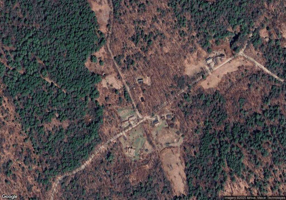
Map
Nearby Homes
- 32 Deerpoint Dr
- 44 Huntington Dr
- 447 Center Rd
- 17 Gould Pond Rd
- 17 Autumn Rd
- 37 Autumn Rd
- 0 Center Rd
- 10 Melody Ln
- 0 Huntington Dr Unit 373 4855140
- 0 Huntington Dr Unit 307 4855146
- 0 Spring St Unit 178 4855470
- 0 Spring St Unit 178 4855319
- 9 Hillside St
- 11 Hillside St
- 32-33 Red Fox Crossing
- 0 Raccoon Alley Unit 86 4855473
- 24 Raccoon Alley
- 0 Red Fox Crossing Unit 34 4858470
- Lot 265 Midnight Walk
- 0 Midnight Walk Unit 264 4914126
- 196 North Rd
- 207 North Rd
- 193 North Rd
- 240 North Rd
- Map 5 Lot 108 North Rd
- 96 Dean Hill Rd
- 1 Sugarhill Ln Unit 1a
- 55 Kimball Hill Rd
- 65 Kimball Hill Rd
- 7 Flint Rd
- 00 North Rd
- 69 Kimball Hill Rd
- 129 North Rd
- 149 Kimball Hill Rd
- 344 Concord End Rd
- 0 North Rd
- 418 Concord End Rd
- Lot 4 & 5 Concord End Rd
- Map 5 lot 166 Kimball Hill Rd
- Map 5 Lot 108 Kimball Hill Rd