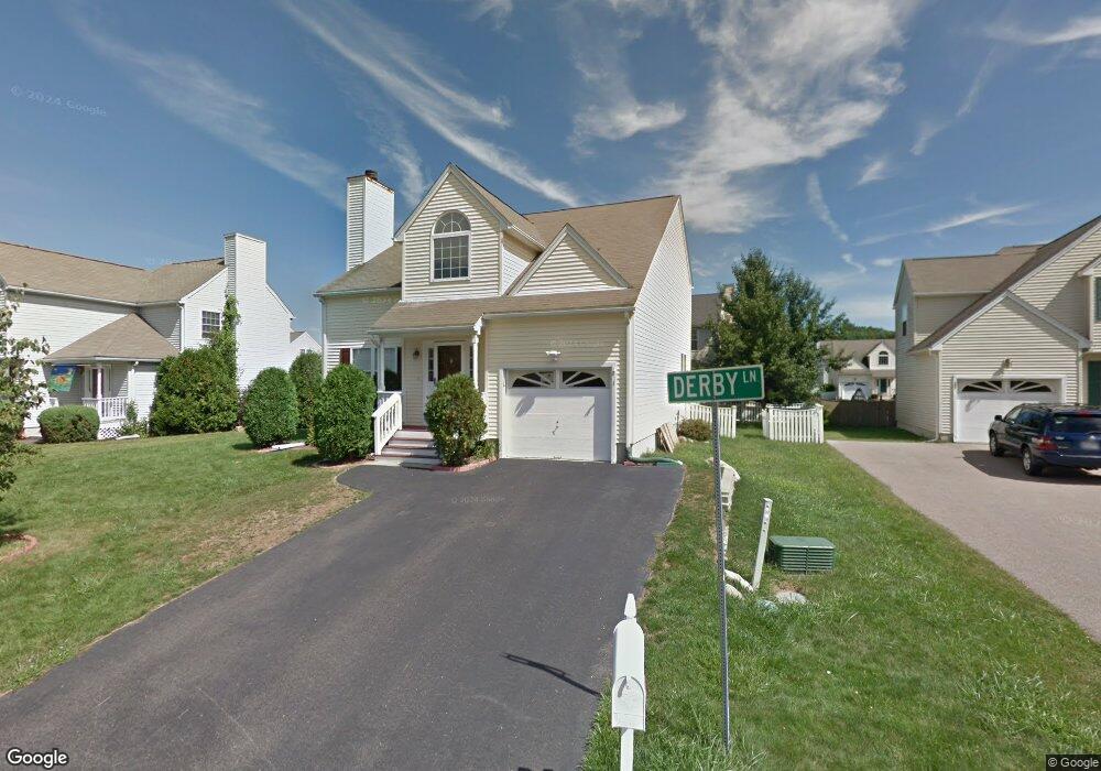
1 Derby Ln Franklin, MA 02038
Estimated Value: $692,000 - $728,000
3
Beds
3
Baths
1,633
Sq Ft
$434/Sq Ft
Est. Value
About This Home
This home is located at 1 Derby Ln, Franklin, MA 02038 and is currently estimated at $708,081, approximately $433 per square foot. 1 Derby Ln is a home located in Norfolk County with nearby schools including John F. Kennedy Memorial School, Horace Mann Middle School, and Franklin High School.
Ownership History
Date
Name
Owned For
Owner Type
Purchase Details
Closed on
Jun 25, 2004
Sold by
Rogan Mary Lou and Rogan Sean S
Bought by
Rayavarapu Lakshmi and Rayavarapu Sreehari B
Current Estimated Value
Home Financials for this Owner
Home Financials are based on the most recent Mortgage that was taken out on this home.
Original Mortgage
$315,500
Outstanding Balance
$158,649
Interest Rate
6.32%
Mortgage Type
Purchase Money Mortgage
Estimated Equity
$549,432
Purchase Details
Closed on
Feb 6, 1998
Sold by
Franklin Partners Jv
Bought by
Rogan Sean S and Rogan Mary L
Home Financials for this Owner
Home Financials are based on the most recent Mortgage that was taken out on this home.
Original Mortgage
$135,000
Interest Rate
6.95%
Mortgage Type
Purchase Money Mortgage
Create a Home Valuation Report for This Property
The Home Valuation Report is an in-depth analysis detailing your home's value as well as a comparison with similar homes in the area
Home Values in the Area
Average Home Value in this Area
Purchase History
| Date | Buyer | Sale Price | Title Company |
|---|---|---|---|
| Rayavarapu Lakshmi | $395,300 | -- | |
| Rogan Sean S | $187,138 | -- |
Source: Public Records
Mortgage History
| Date | Status | Borrower | Loan Amount |
|---|---|---|---|
| Open | Rayavarapu Lakshmi | $315,500 | |
| Closed | Rayavarapu Lakshmi | $60,000 | |
| Previous Owner | Rogan Sean S | $135,000 |
Source: Public Records
Tax History Compared to Growth
Tax History
| Year | Tax Paid | Tax Assessment Tax Assessment Total Assessment is a certain percentage of the fair market value that is determined by local assessors to be the total taxable value of land and additions on the property. | Land | Improvement |
|---|---|---|---|---|
| 2025 | $7,524 | $647,500 | $219,300 | $428,200 |
| 2024 | $6,795 | $576,300 | $219,300 | $357,000 |
| 2023 | $6,457 | $513,300 | $202,800 | $310,500 |
| 2022 | $6,435 | $458,000 | $182,700 | $275,300 |
| 2021 | $6,326 | $431,800 | $171,500 | $260,300 |
| 2020 | $6,422 | $442,600 | $197,900 | $244,700 |
| 2019 | $6,053 | $412,900 | $168,200 | $244,700 |
| 2018 | $5,791 | $395,300 | $174,800 | $220,500 |
| 2017 | $5,619 | $385,400 | $164,900 | $220,500 |
| 2016 | $5,742 | $396,000 | $178,000 | $218,000 |
| 2015 | $5,513 | $371,500 | $153,500 | $218,000 |
| 2014 | $5,014 | $347,000 | $129,000 | $218,000 |
Source: Public Records
Map
Nearby Homes
- 18 Mary Anne Dr
- 455 Hartford Ave
- 462 Hartford Ave
- 14 Hawthorne Village Unit D
- 0 Old Log Lane (Farm St) Unit 73416329
- 951 Pond St
- 21 Riverside Rd
- 387 Hartford Ave
- 220 Main St Unit 220
- 5 Fales St
- 39 West St
- 6 Freedom Trail
- 28 Wellington St
- 17 Pine St
- 176 Main St Unit 3
- 4 Shaw St
- 9 Tulip Way
- 280 Village St Unit D2
- 22 Granite St
- 0 Elm St