1 Diane Ct Hampton, NJ 08827
Estimated Value: $627,000 - $665,752
--
Bed
--
Bath
2,412
Sq Ft
$267/Sq Ft
Est. Value
About This Home
This home is located at 1 Diane Ct, Hampton, NJ 08827 and is currently estimated at $644,438, approximately $267 per square foot. 1 Diane Ct is a home located in Warren County with nearby schools including Brass Castle School, Warren Hills Regional Middle School, and Warren Hills Reg High School.
Ownership History
Date
Name
Owned For
Owner Type
Purchase Details
Closed on
Apr 11, 2023
Sold by
Neal Clarence
Bought by
Abubakar Neal Kimker
Current Estimated Value
Purchase Details
Closed on
Apr 28, 2000
Sold by
W F N B Llc
Bought by
Neal Clarence and Neal Marian P
Home Financials for this Owner
Home Financials are based on the most recent Mortgage that was taken out on this home.
Original Mortgage
$200,000
Interest Rate
8.23%
Mortgage Type
Stand Alone First
Create a Home Valuation Report for This Property
The Home Valuation Report is an in-depth analysis detailing your home's value as well as a comparison with similar homes in the area
Home Values in the Area
Average Home Value in this Area
Purchase History
| Date | Buyer | Sale Price | Title Company |
|---|---|---|---|
| Abubakar Neal Kimker | -- | None Listed On Document | |
| Neal Clarence | $255,800 | -- |
Source: Public Records
Mortgage History
| Date | Status | Borrower | Loan Amount |
|---|---|---|---|
| Previous Owner | Neal Clarence | $200,000 |
Source: Public Records
Tax History Compared to Growth
Tax History
| Year | Tax Paid | Tax Assessment Tax Assessment Total Assessment is a certain percentage of the fair market value that is determined by local assessors to be the total taxable value of land and additions on the property. | Land | Improvement |
|---|---|---|---|---|
| 2025 | $14,317 | $349,200 | $96,600 | $252,600 |
| 2024 | $13,837 | $349,200 | $96,600 | $252,600 |
| 2023 | $13,205 | $349,200 | $96,600 | $252,600 |
| 2022 | $13,205 | $349,200 | $96,600 | $252,600 |
| 2021 | $12,601 | $349,200 | $96,600 | $252,600 |
| 2020 | $12,952 | $349,200 | $96,600 | $252,600 |
| 2019 | $12,536 | $349,200 | $96,600 | $252,600 |
| 2018 | $12,286 | $349,200 | $96,600 | $252,600 |
| 2017 | $12,449 | $349,200 | $96,600 | $252,600 |
| 2016 | $12,257 | $349,200 | $96,600 | $252,600 |
| 2015 | $12,094 | $349,200 | $96,600 | $252,600 |
| 2014 | $11,920 | $349,200 | $96,600 | $252,600 |
Source: Public Records
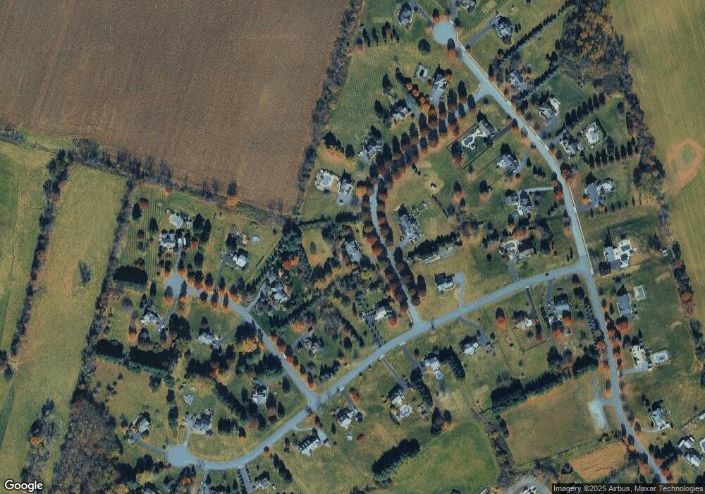
Map
Nearby Homes
- 161 Bryans Rd
- 20 Riddle Ct
- Juniper Plan at Hawk Pointe - Towns
- 79 Limestone Blvd
- 55 Limestone Blvd
- 22 Limestone Blvd
- 74 Mountain View Rd E
- 192 Bryans Rd
- 16 Surry Lane16
- 10 Sparrowhawk St
- 11 Sharp Shinned Ct
- 237 Cemetery Hill Rd
- 3 Musconetcong River Rd
- 215 Asbury Anderson Rd
- 218 State Route 31
- 118 Junction Rd
- 182 State Route 31
- 135 Main St
- 2 Dutch Hill Rd
- 6 Maple Ln
- 3 Diane Ct
- 6 Jockey Hollow Rd
- 4 Thomas Ct
- 2 Diane Ct
- 2 Thomas Ct
- 6 Thomas Ct
- 4 Jockey Hollow Rd
- 5 Diane Ct
- 7 Jockey Hollow Rd
- 7 Diane Ct
- 5 Thomas Ct
- 1 Thomas Ct
- 5 Jockey Hollow Rd
- 9 Jockey Hollow Rd
- 11 Jockey Hollow Rd
- 8 Thomas Ct
- 11 Pacesetter Dr
- 2 Jockey Hollow Rd
- 17 Pacesetter Dr
- 15 Pacesetter Dr