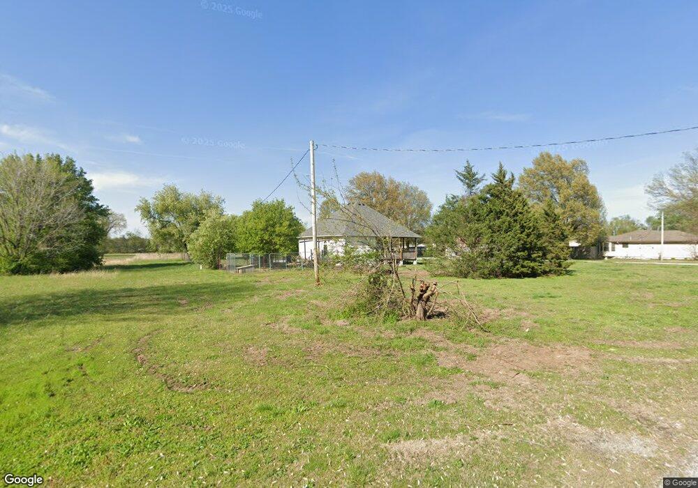
1 Doris Ave Fairland, OK 74343
Estimated Value: $122,000 - $230,000
1
Bed
1
Bath
966
Sq Ft
$164/Sq Ft
Est. Value
About This Home
This home is located at 1 Doris Ave, Fairland, OK 74343 and is currently estimated at $158,569, approximately $164 per square foot. 1 Doris Ave is a home located in Ottawa County with nearby schools including Fairland Elementary School and Fairland High School.
Ownership History
Date
Name
Owned For
Owner Type
Purchase Details
Closed on
Feb 7, 2019
Sold by
Giles Rachel E and Wells Fargo Bank Na
Bought by
Handrich Caitlin and Handrich Thomas
Current Estimated Value
Purchase Details
Closed on
Jun 20, 2013
Sold by
Giles Sheryl D and Young Robert L
Bought by
Giles Rachel E
Purchase Details
Closed on
Aug 12, 2011
Sold by
Funk Gary and Funk Vicki
Bought by
Giles Rachel E
Home Financials for this Owner
Home Financials are based on the most recent Mortgage that was taken out on this home.
Original Mortgage
$50,197
Interest Rate
4.25%
Mortgage Type
FHA
Create a Home Valuation Report for This Property
The Home Valuation Report is an in-depth analysis detailing your home's value as well as a comparison with similar homes in the area
Home Values in the Area
Average Home Value in this Area
Purchase History
| Date | Buyer | Sale Price | Title Company |
|---|---|---|---|
| Handrich Caitlin | $32,500 | None Available | |
| Giles Rachel E | -- | None Available | |
| Giles Rachel E | $58,000 | Ottawa County Abstract & Tit |
Source: Public Records
Mortgage History
| Date | Status | Borrower | Loan Amount |
|---|---|---|---|
| Previous Owner | Giles Rachel E | $50,197 |
Source: Public Records
Tax History Compared to Growth
Tax History
| Year | Tax Paid | Tax Assessment Tax Assessment Total Assessment is a certain percentage of the fair market value that is determined by local assessors to be the total taxable value of land and additions on the property. | Land | Improvement |
|---|---|---|---|---|
| 2024 | $773 | $9,008 | $852 | $8,156 |
| 2023 | $773 | $8,579 | $1,482 | $7,097 |
| 2022 | $773 | $8,579 | $1,482 | $7,097 |
| 2021 | $737 | $8,579 | $1,482 | $7,097 |
| 2020 | $664 | $8,363 | $852 | $7,511 |
| 2019 | $641 | $7,965 | $1,292 | $6,673 |
| 2018 | $618 | $7,586 | $1,257 | $6,329 |
| 2017 | $510 | $7,225 | $1,223 | $6,002 |
| 2016 | $498 | $7,015 | $1,204 | $5,811 |
| 2015 | $36 | $468 | $468 | $0 |
| 2014 | $472 | $6,612 | $1,131 | $5,481 |
Source: Public Records
Map
Nearby Homes
- 56550 E Highway 60
- 304 W Market Ave
- 303 W Market Ave
- 0 W Unit 25-1855
- 324 Stauffer St
- 16 E Church Ave
- 301 E Church Ave
- 19500 S 580 Rd
- 0 Hwy 60 Unit 2536880
- 20750 S 580 Rd
- 16701 S 550 Rd
- 0 E 160 Rd
- 0 E Highway 60 Unit 25-1607
- 0 E Highway 60 Unit 1315522
- 59300 E 170 Rd
- 25403 S 580 Rd
- 58251 E 220 Rd
- 18801 S Highway 69
- 22550 S 560 Rd
- 14502 S Spangler Dr
- 360 N Doris St
- 0 Doris Ave
- 712 W Church Ave
- 835 W Church Ave
- 350 Doris Ave
- 203 N Elm St
- 205 N Elm St
- 704 W Church Ave
- 125 N Elm St
- 210 N Elm St
- 610 W Church Ave
- 712 W Conner Ave
- 124 N Elm St
- 606 W Church Ave
- 811 W Conner Ave
- 508 Washington
- 704 W Conner Ave
- 2 N Elm St
- 506 W Washington Ave
- 620 W Conner Ave