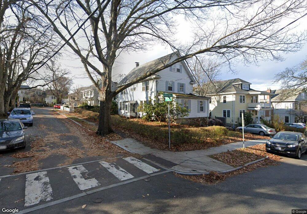
1 Dunstable Rd Cambridge, MA 02138
West Cambridge NeighborhoodEstimated Value: $3,261,000 - $4,350,000
3
Beds
1
Bath
1,200
Sq Ft
$2,992/Sq Ft
Est. Value
About This Home
This home is located at 1 Dunstable Rd, Cambridge, MA 02138 and is currently estimated at $3,589,905, approximately $2,991 per square foot. 1 Dunstable Rd is a home located in Middlesex County with nearby schools including Benjamin Banneker Charter Public School, St Peter School, and Cambridge Montessori School.
Ownership History
Date
Name
Owned For
Owner Type
Purchase Details
Closed on
Dec 1, 1999
Sold by
Est Vernon Raymond and Lowell William A
Bought by
Scanlan John T and Scanlan Agnes B
Current Estimated Value
Home Financials for this Owner
Home Financials are based on the most recent Mortgage that was taken out on this home.
Original Mortgage
$700,000
Outstanding Balance
$219,133
Interest Rate
7.86%
Mortgage Type
Purchase Money Mortgage
Estimated Equity
$3,370,772
Create a Home Valuation Report for This Property
The Home Valuation Report is an in-depth analysis detailing your home's value as well as a comparison with similar homes in the area
Home Values in the Area
Average Home Value in this Area
Purchase History
| Date | Buyer | Sale Price | Title Company |
|---|---|---|---|
| Scanlan John T | $965,000 | -- |
Source: Public Records
Mortgage History
| Date | Status | Borrower | Loan Amount |
|---|---|---|---|
| Open | Scanlan John T | $700,000 |
Source: Public Records
Tax History
| Year | Tax Paid | Tax Assessment Tax Assessment Total Assessment is a certain percentage of the fair market value that is determined by local assessors to be the total taxable value of land and additions on the property. | Land | Improvement |
|---|---|---|---|---|
| 2025 | $20,144 | $3,172,300 | $2,207,500 | $964,800 |
| 2024 | $18,431 | $3,113,400 | $2,189,800 | $923,600 |
| 2023 | $17,463 | $2,980,000 | $2,181,000 | $799,000 |
| 2022 | $16,665 | $2,815,000 | $2,107,500 | $707,500 |
| 2021 | $15,948 | $2,726,100 | $2,068,100 | $658,000 |
| 2020 | $14,967 | $2,602,900 | $1,979,300 | $623,600 |
| 2019 | $13,327 | $2,243,600 | $1,667,200 | $576,400 |
| 2018 | $13,778 | $2,190,400 | $1,658,700 | $531,700 |
| 2017 | $13,551 | $2,088,000 | $1,581,700 | $506,300 |
| 2016 | $12,960 | $1,854,100 | $1,368,000 | $486,100 |
| 2015 | $13,429 | $1,717,200 | $1,282,500 | $434,700 |
| 2014 | $14,054 | $1,677,100 | $1,248,300 | $428,800 |
Source: Public Records
Map
Nearby Homes
- 119 Appleton St
- 59-61 Reservoir St Unit 2
- 157 Brattle St
- 159 Brattle St
- 153 Brattle St
- 172 Brattle St
- 140 Huron Ave
- 316 Concord Ave
- 133 Fayerweather St Unit 133
- 117 Lexington Ave Unit 117
- 15 Madison St Unit 1
- 20 Tierney St Unit 3
- 32 Copley St Unit 2
- 17 Copley St Unit 2
- 12 Gray Gardens W Unit 14
- 46 Foster St
- 1010 Memorial Dr Unit 6F
- 84 Garden St
- 14-16 Field St
- 3 Berkeley Place
- 115 Appleton St
- 115 Appleton St Unit 115
- 5 Dunstable Rd
- 6 Dunstable Rd Unit n/a
- 6 Dunstable Rd
- 99999 99999
- 270 Windsor St Unit 6
- 0 Please Register Your Buyer Unit 70583225
- 1 Tannery Brook Row Unit 3D
- 0 Please Register Your Buyer Unit 70583197
- 4 Dunstable Rd
- 119 Appleton St Unit 1
- 119 Appleton St Unit 2
- 119 Appleton St Unit 119
- 26 Blakeslee St
- 116 Appleton St
- 1 Not Disclosed
- 30 Blakeslee St Unit 32
- 30 Blakeslee St Unit 32
- 30 Blakeslee St Unit 1
Your Personal Tour Guide
Ask me questions while you tour the home.